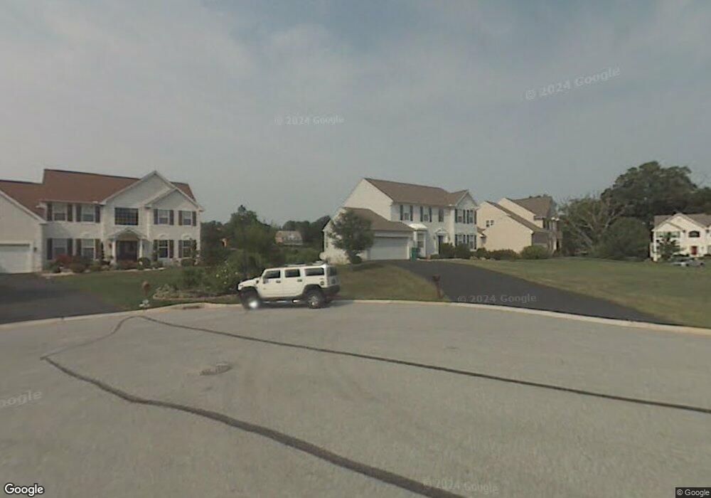
40 Piersons Ridge Unit RG Hockessin, DE 19707
Estimated Value: $703,000 - $777,000
4
Beds
3
Baths
2,687
Sq Ft
$276/Sq Ft
Est. Value
About This Home
This home is located at 40 Piersons Ridge Unit RG, Hockessin, DE 19707 and is currently estimated at $740,746, approximately $275 per square foot. 40 Piersons Ridge Unit RG is a home located in New Castle County with nearby schools including North Star Elementary School, Dupont (H.B.) Middle School, and Alexis I. du Pont High School.
Create a Home Valuation Report for This Property
The Home Valuation Report is an in-depth analysis detailing your home's value as well as a comparison with similar homes in the area
Home Values in the Area
Average Home Value in this Area
Tax History Compared to Growth
Tax History
| Year | Tax Paid | Tax Assessment Tax Assessment Total Assessment is a certain percentage of the fair market value that is determined by local assessors to be the total taxable value of land and additions on the property. | Land | Improvement |
|---|---|---|---|---|
| 2024 | $5,613 | $146,500 | $24,700 | $121,800 |
| 2023 | $4,978 | $146,500 | $24,700 | $121,800 |
| 2022 | $5,005 | $146,500 | $24,700 | $121,800 |
| 2021 | $4,999 | $146,500 | $24,700 | $121,800 |
| 2020 | $5,001 | $146,500 | $24,700 | $121,800 |
| 2019 | $5,067 | $146,500 | $24,700 | $121,800 |
| 2018 | $4,914 | $146,500 | $24,700 | $121,800 |
| 2017 | $4,856 | $146,500 | $24,700 | $121,800 |
| 2016 | $4,619 | $146,500 | $24,700 | $121,800 |
| 2015 | $4,341 | $146,500 | $24,700 | $121,800 |
| 2014 | $4,032 | $146,500 | $24,700 | $121,800 |
Source: Public Records
Map
Nearby Homes
- 22 Eynon Ct
- 257 Grove View Dr
- 259 Grove View Dr
- 255 Grove View Dr
- 253 Grove View Dr
- 3 Ashleaf Ct
- 567 Southwood Rd
- 551 Southwood Rd
- 107 Skyview Ln
- 108 Evanson Rd
- 832 Evanson Rd
- 683 Mc Govern Rd
- 2022 Rosemont Dr
- 408 Willowbend Ct
- 513 Pershing Rd
- 308 Detjen Dr
- 1331 Broad Run Rd
- 3 Heatherstone Way
- 515 Massaferi Way
- 253 Peoples Way
- 2 Meredith Ct
- 42 Piersons Ridge Unit RG
- 43 Piersons Ridge Unit RG
- 4 Meredith Ct
- 41 Piersons Ridge Unit RG
- 36 Piersons Ridge Unit RG
- 6 Meredith Ct
- 3 Meredith Ct
- 39 Piersons Ridge Unit RG
- 5 Meredith Ct
- 37 Piersons Ridge Unit RG
- 2 Ruthana Way
- 4 Ruthana Way
- 543 Stenning Dr
- 545 Stenning Dr
- 6 Ruthana Way
- 35 Piersons Ridge Unit RG
- 547 Stenning Dr
- 539 Stenning Dr
- 7 Ruthana Way