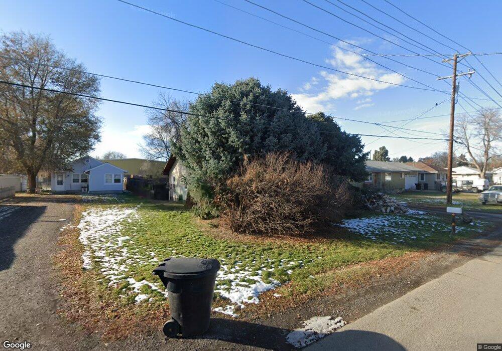
40 Rhea Ln Billings, MT 59102
East Central Billings NeighborhoodEstimated Value: $293,000 - $344,000
3
Beds
2
Baths
1,020
Sq Ft
$300/Sq Ft
Est. Value
About This Home
This home is located at 40 Rhea Ln, Billings, MT 59102 and is currently estimated at $306,215, approximately $300 per square foot. 40 Rhea Ln is a home located in Yellowstone County with nearby schools including Washington School, Lewis & Clark Junior High School, and Billings West High School.
Ownership History
Date
Name
Owned For
Owner Type
Purchase Details
Closed on
Feb 27, 2024
Sold by
J & J Inv Properties Llc
Bought by
Anderson-Budell Tiffany
Current Estimated Value
Home Financials for this Owner
Home Financials are based on the most recent Mortgage that was taken out on this home.
Original Mortgage
$289,656
Outstanding Balance
$284,811
Interest Rate
6.6%
Mortgage Type
FHA
Estimated Equity
$21,404
Create a Home Valuation Report for This Property
The Home Valuation Report is an in-depth analysis detailing your home's value as well as a comparison with similar homes in the area
Home Values in the Area
Average Home Value in this Area
Purchase History
| Date | Buyer | Sale Price | Title Company |
|---|---|---|---|
| Anderson-Budell Tiffany | -- | First Montana Title Company |
Source: Public Records
Mortgage History
| Date | Status | Borrower | Loan Amount |
|---|---|---|---|
| Open | Anderson-Budell Tiffany | $289,656 | |
| Closed | Anderson-Budell Tiffany | $14,750 |
Source: Public Records
Tax History Compared to Growth
Tax History
| Year | Tax Paid | Tax Assessment Tax Assessment Total Assessment is a certain percentage of the fair market value that is determined by local assessors to be the total taxable value of land and additions on the property. | Land | Improvement |
|---|---|---|---|---|
| 2025 | $2,202 | $266,800 | $42,803 | $223,997 |
| 2024 | $2,202 | $219,400 | $42,955 | $176,445 |
| 2023 | $1,950 | $183,900 | $42,955 | $140,945 |
| 2022 | $741 | $155,800 | $0 | $0 |
| 2021 | $1,090 | $155,800 | $0 | $0 |
| 2020 | $1,017 | $140,800 | $0 | $0 |
| 2019 | $977 | $140,800 | $0 | $0 |
| 2018 | $940 | $132,600 | $0 | $0 |
| 2017 | $913 | $132,600 | $0 | $0 |
| 2016 | $939 | $143,300 | $0 | $0 |
| 2015 | $918 | $143,300 | $0 | $0 |
| 2014 | $1,293 | $60,578 | $0 | $0 |
Source: Public Records
Map
Nearby Homes
- 43 Prickett Ln
- 307 S Billings Blvd Unit 36
- 723 Cook Ave
- 226 Moore Ln
- 716 Howard Ave
- 947 Howard Ave
- 1132 Saint Johns Ave
- 618 & 620 Howard Ave
- 925 Miles Ave
- 937 Miles Ave
- 1122 Howard Ave
- 926 Terry Ave
- 1205 Lynn Ave
- 702 Terry Ave
- 704 Terry Ave
- 1120 Miles Ave
- 418 Cook Ave
- 801 Broadwater Ave
- 611 Custer Ave
- 725 Broadwater Ave