40 Via Corsica Unit 20 Dana Point, CA 92629
Monarch Beach NeighborhoodEstimated Value: $4,672,000 - $5,775,000
5
Beds
4
Baths
4,440
Sq Ft
$1,181/Sq Ft
Est. Value
About This Home
This home is located at 40 Via Corsica Unit 20, Dana Point, CA 92629 and is currently estimated at $5,242,782, approximately $1,180 per square foot. 40 Via Corsica Unit 20 is a home located in Orange County with nearby schools including Moulton Elementary, Niguel Hills Middle School, and Dana Hills High School.
Ownership History
Date
Name
Owned For
Owner Type
Purchase Details
Closed on
Nov 19, 2020
Sold by
Armstrong Joseph R and Armstrong Linda J
Bought by
Armstrong Joseph R and Armstrong Linda J
Current Estimated Value
Purchase Details
Closed on
Aug 18, 2004
Sold by
Capital Pacific Holdings Llc
Bought by
Armstrong Joe R and Armstrong Linda J
Home Financials for this Owner
Home Financials are based on the most recent Mortgage that was taken out on this home.
Original Mortgage
$650,000
Outstanding Balance
$278,896
Interest Rate
4%
Mortgage Type
Purchase Money Mortgage
Estimated Equity
$4,963,886
Create a Home Valuation Report for This Property
The Home Valuation Report is an in-depth analysis detailing your home's value as well as a comparison with similar homes in the area
Home Values in the Area
Average Home Value in this Area
Purchase History
| Date | Buyer | Sale Price | Title Company |
|---|---|---|---|
| Armstrong Joseph R | -- | None Available | |
| Armstrong Joseph R | -- | None Available | |
| Armstrong Joe R | $2,137,500 | First American Title Co |
Source: Public Records
Mortgage History
| Date | Status | Borrower | Loan Amount |
|---|---|---|---|
| Open | Armstrong Joe R | $650,000 |
Source: Public Records
Tax History Compared to Growth
Tax History
| Year | Tax Paid | Tax Assessment Tax Assessment Total Assessment is a certain percentage of the fair market value that is determined by local assessors to be the total taxable value of land and additions on the property. | Land | Improvement |
|---|---|---|---|---|
| 2025 | $31,854 | $2,999,639 | $2,141,506 | $858,133 |
| 2024 | $31,854 | $2,940,823 | $2,099,516 | $841,307 |
| 2023 | $31,035 | $2,883,160 | $2,058,349 | $824,811 |
| 2022 | $30,279 | $2,807,028 | $2,017,989 | $789,039 |
| 2021 | $30,076 | $2,751,989 | $1,978,421 | $773,568 |
| 2020 | $29,229 | $2,723,771 | $1,958,134 | $765,637 |
| 2019 | $28,764 | $2,670,364 | $1,919,739 | $750,625 |
| 2018 | $27,931 | $2,618,004 | $1,882,097 | $735,907 |
| 2017 | $27,298 | $2,566,671 | $1,845,193 | $721,478 |
| 2016 | $26,787 | $2,516,345 | $1,809,013 | $707,332 |
| 2015 | $26,167 | $2,478,548 | $1,781,840 | $696,708 |
| 2014 | $25,393 | $2,400,000 | $1,746,936 | $653,064 |
Source: Public Records
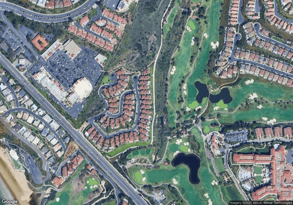
Map
Nearby Homes
- 52 Ritz Cove Dr
- 23277 Atlantis Way
- 75 Ritz Cove Dr
- 14 Ritz Cove Dr
- 60 Ritz Cove Dr
- 31 Monarch Bay Dr
- 18 Ritz Cove Dr
- 26 Ritz Cove Dr
- 71 Ritz Cove Dr
- 51 Monarch Beach Resort S
- 75 Monarch Beach Resort S
- 144 Monarch Bay Dr
- 37 Santa Lucia
- 72 Monarch Beach Resort S
- 32532 Sea Island Dr
- 32641 Adriatic Dr
- 0 Crown Valley Pkwy
- 183 Monarch Bay Dr
- 23502 Seaward Isle
- 98 S La Senda Dr
- 12 Via Corsica
- 38 Via Corsica
- 44 Via Corsica Unit 22
- 46 Via Corsica
- 36 Via Corsica
- 34 Via Corsica Unit 17
- 48 Via Corsica Unit 24
- 50 Via Corsica Unit 25
- 28 Via Corsica
- 10 Via Sienna
- 24 Via Corsica Unit 12
- 6 Via Sienna
- 26 Via Corsica
- 22 Via Corsica
- 16 Via Sienna Unit 28
- 4 Via Sienna Unit 34
- 18 Via Corsica
- 16 Via Corsica
- 2 Via Corsica Unit 1
- 14 Via Sienna