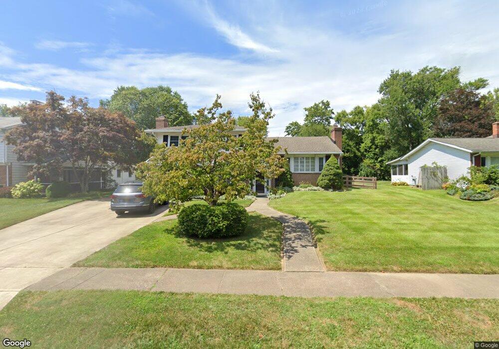
400 Apple Rd Newark, DE 19711
Estimated Value: $468,000 - $596,000
3
Beds
3
Baths
1,792
Sq Ft
$292/Sq Ft
Est. Value
About This Home
This home is located at 400 Apple Rd, Newark, DE 19711 and is currently estimated at $523,330, approximately $292 per square foot. 400 Apple Rd is a home located in New Castle County with nearby schools including West Park Place Elementary School, Shue-Medill Middle School, and Newark High School.
Ownership History
Date
Name
Owned For
Owner Type
Purchase Details
Closed on
Oct 14, 2015
Sold by
Fisher Jeffrey H and Fisher Elizabeth A
Bought by
Fisher Elizabeth A
Current Estimated Value
Purchase Details
Closed on
May 10, 2002
Sold by
Fisher Joseph H
Bought by
Fisher Jeffrey H and Fisher Elizabeth A
Home Financials for this Owner
Home Financials are based on the most recent Mortgage that was taken out on this home.
Original Mortgage
$100,000
Interest Rate
7%
Create a Home Valuation Report for This Property
The Home Valuation Report is an in-depth analysis detailing your home's value as well as a comparison with similar homes in the area
Home Values in the Area
Average Home Value in this Area
Purchase History
| Date | Buyer | Sale Price | Title Company |
|---|---|---|---|
| Fisher Elizabeth A | -- | None Available | |
| Fisher Jeffrey H | $125,000 | -- |
Source: Public Records
Mortgage History
| Date | Status | Borrower | Loan Amount |
|---|---|---|---|
| Closed | Fisher Jeffrey H | $100,000 |
Source: Public Records
Tax History
| Year | Tax Paid | Tax Assessment Tax Assessment Total Assessment is a certain percentage of the fair market value that is determined by local assessors to be the total taxable value of land and additions on the property. | Land | Improvement |
|---|---|---|---|---|
| 2024 | $953 | $90,300 | $13,600 | $76,700 |
| 2023 | $3,265 | $90,300 | $13,600 | $76,700 |
| 2022 | $3,231 | $90,300 | $13,600 | $76,700 |
| 2021 | $3,148 | $90,300 | $13,600 | $76,700 |
| 2020 | $3,057 | $90,300 | $13,600 | $76,700 |
| 2019 | $2,680 | $90,300 | $13,600 | $76,700 |
| 2018 | $2,618 | $90,300 | $13,600 | $76,700 |
| 2017 | $2,540 | $90,300 | $13,600 | $76,700 |
| 2016 | $2,533 | $90,300 | $13,600 | $76,700 |
| 2015 | $2,271 | $90,300 | $13,600 | $76,700 |
| 2014 | $2,270 | $90,300 | $13,600 | $76,700 |
Source: Public Records
Map
Nearby Homes
- 306 Willa Rd
- 57 W Park Place
- 512 Briar Ln
- 105 Tanglewood Ln
- 30 Julie Ln
- 113 E Main St Unit 311
- 153 King William St Unit 153
- 313 Chickory Way
- 710 S College Ave
- 305 Kinross Dr
- 716 S College Ave
- 117 W Shetland Ct
- 317 Cannons Way
- 1000 Fountainview Cir Unit 309
- 3000 Fountainview Cir Unit 3411
- 104 Country Club Dr
- 25 Glyn Dr
- 22 Alwyn Rd
- 803 Del Grove Ave
- 2 Leahy Dr
Your Personal Tour Guide
Ask me questions while you tour the home.