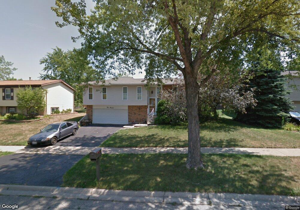
400 King Arthur Ct Bolingbrook, IL 60440
East Bolingbrook NeighborhoodEstimated Value: $340,951 - $420,000
3
Beds
2
Baths
2,092
Sq Ft
$185/Sq Ft
Est. Value
About This Home
This home is located at 400 King Arthur Ct, Bolingbrook, IL 60440 and is currently estimated at $387,738, approximately $185 per square foot. 400 King Arthur Ct is a home located in Will County with nearby schools including Jonas E Salk Elementary School, Hubert H Humphrey Middle School, and Bolingbrook High School.
Ownership History
Date
Name
Owned For
Owner Type
Purchase Details
Closed on
Apr 25, 1997
Sold by
Sanders Thomas A and Sanders Barbara J
Bought by
Spraggs Douglas S and Wright Kimberly
Current Estimated Value
Home Financials for this Owner
Home Financials are based on the most recent Mortgage that was taken out on this home.
Original Mortgage
$128,850
Outstanding Balance
$16,893
Interest Rate
8.05%
Mortgage Type
FHA
Estimated Equity
$370,845
Create a Home Valuation Report for This Property
The Home Valuation Report is an in-depth analysis detailing your home's value as well as a comparison with similar homes in the area
Home Values in the Area
Average Home Value in this Area
Purchase History
| Date | Buyer | Sale Price | Title Company |
|---|---|---|---|
| Spraggs Douglas S | $130,000 | -- |
Source: Public Records
Mortgage History
| Date | Status | Borrower | Loan Amount |
|---|---|---|---|
| Open | Spraggs Douglas S | $128,850 |
Source: Public Records
Tax History Compared to Growth
Tax History
| Year | Tax Paid | Tax Assessment Tax Assessment Total Assessment is a certain percentage of the fair market value that is determined by local assessors to be the total taxable value of land and additions on the property. | Land | Improvement |
|---|---|---|---|---|
| 2024 | $8,434 | $99,320 | $20,174 | $79,146 |
| 2023 | $8,434 | $89,365 | $18,152 | $71,213 |
| 2022 | $7,371 | $80,567 | $16,365 | $64,202 |
| 2021 | $6,980 | $75,332 | $15,302 | $60,030 |
| 2020 | $6,762 | $72,855 | $14,799 | $58,056 |
| 2019 | $6,540 | $69,385 | $14,094 | $55,291 |
| 2018 | $6,007 | $63,837 | $12,967 | $50,870 |
| 2017 | $5,713 | $60,509 | $12,291 | $48,218 |
| 2016 | $5,541 | $57,600 | $11,700 | $45,900 |
| 2015 | $4,599 | $53,600 | $10,900 | $42,700 |
| 2014 | $4,599 | $48,700 | $9,900 | $38,800 |
| 2013 | $4,599 | $48,700 | $9,900 | $38,800 |
Source: Public Records
Map
Nearby Homes
- 355 Falconridge Way
- 304 N Pinecrest Rd
- 451 Alcester Ct
- 338 Stafford Way
- 312 Homestead Dr
- 308 Homewood Dr
- 157 Vernon Dr Unit 6
- 520 White Oak Rd
- 220 N Ashbury Ave
- 144 N Pinecrest Rd
- 325 Rockhurst Rd
- 564 White Oak Rd
- 316 Bedford Rd
- 101 Seabury Rd
- 226 Hampshire Ln
- 427 Charlestown Dr
- 231 Charlotte Ln
- 419 Charlestown Dr
- 308 Pacific Dr
- 601 Derbyshire Ln
- 370 King Arthur Ct
- 404 King Arthur Ct
- 401 Sword Way
- 405 Sword Way
- 369 Sword Way
- 408 King Arthur Ct
- 366 King Arthur Ct
- 401 King Arthur Ct
- 409 Sword Way
- 365 Sword Way
- 369 King Arthur Ct
- 362 King Arthur Ct
- 533 King Arthur Way
- 409 King Arthur Ct
- 365 King Arthur Ct
- 361 Sword Way
- 537 King Arthur Way
- 364 Tarrington Way
- 525 King Arthur Way
- 361 King Arthur Ct