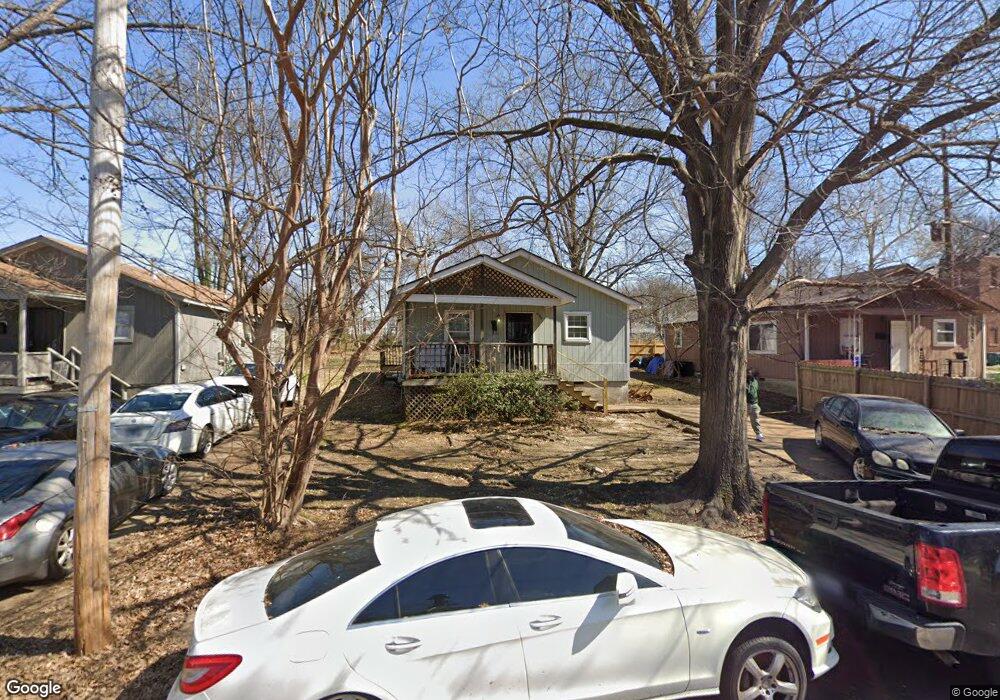
400 Leath St Memphis, TN 38105
Crosstown NeighborhoodEstimated Value: $52,000 - $137,000
2
Beds
1
Bath
1,040
Sq Ft
$82/Sq Ft
Est. Value
About This Home
This home is located at 400 Leath St, Memphis, TN 38105 and is currently estimated at $85,393, approximately $82 per square foot. 400 Leath St is a home located in Shelby County with nearby schools including Downtown Elementary School, Manassas High School, and Memphis Scholars Caldwell-Guthrie.
Ownership History
Date
Name
Owned For
Owner Type
Purchase Details
Closed on
Mar 26, 2009
Sold by
United Housing Inc
Bought by
Fort Meyers Motel Group Llc
Current Estimated Value
Purchase Details
Closed on
May 17, 2007
Sold by
Habitat For Humanity Greater Memphis Inc
Bought by
United Housing Inc
Purchase Details
Closed on
Mar 15, 2005
Sold by
Union Planters Bank Na
Bought by
Habitat For Humanity Of Greater Memphis
Purchase Details
Closed on
Jul 12, 2004
Sold by
Johnson Rhoda Jean
Bought by
Union Planters Bank Na
Create a Home Valuation Report for This Property
The Home Valuation Report is an in-depth analysis detailing your home's value as well as a comparison with similar homes in the area
Home Values in the Area
Average Home Value in this Area
Purchase History
| Date | Buyer | Sale Price | Title Company |
|---|---|---|---|
| Fort Meyers Motel Group Llc | $1,100 | Saddle Creek Title Llc | |
| United Housing Inc | $30,000 | None Available | |
| Habitat For Humanity Of Greater Memphis | -- | -- | |
| Union Planters Bank Na | $7,623 | -- |
Source: Public Records
Tax History Compared to Growth
Tax History
| Year | Tax Paid | Tax Assessment Tax Assessment Total Assessment is a certain percentage of the fair market value that is determined by local assessors to be the total taxable value of land and additions on the property. | Land | Improvement |
|---|---|---|---|---|
| 2025 | $282 | $12,400 | $1,875 | $10,525 |
| 2024 | $282 | $8,325 | $750 | $7,575 |
| 2023 | $507 | $8,325 | $750 | $7,575 |
| 2022 | $507 | $8,325 | $750 | $7,575 |
| 2021 | $513 | $8,325 | $750 | $7,575 |
| 2020 | $485 | $6,700 | $750 | $5,950 |
| 2019 | $534 | $7,375 | $750 | $6,625 |
| 2018 | $534 | $7,375 | $750 | $6,625 |
| 2017 | $303 | $7,375 | $750 | $6,625 |
| 2016 | $293 | $6,700 | $0 | $0 |
| 2014 | $293 | $6,700 | $0 | $0 |
Source: Public Records
Map
Nearby Homes
- 374 N Dunlap St
- 317 N Manassas St
- 510 Leath St
- 515 N Dunlap St
- 301 N Manassas St
- 304 N Dunlap St
- 556 N Manassas St
- 925 N Parkway Unit 2
- 925 N Parkway
- 998 J W Williams Ln
- 930 Faxon Ave
- 1010 Galloway Ave
- 1023 Forrest Ave
- 1033 Forrest Ave
- 643 McDavitt Place
- 230 Decatur St
- 671 McDavitt Place
- 1060 Forrest Ave
- 236 Decatur St
- 640 Hastings Cir E