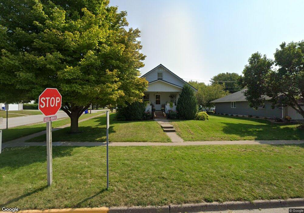
400 S Devoe St Lone Tree, IA 52755
Estimated Value: $205,000 - $238,000
2
Beds
2
Baths
1,908
Sq Ft
$116/Sq Ft
Est. Value
About This Home
This home is located at 400 S Devoe St, Lone Tree, IA 52755 and is currently estimated at $222,136, approximately $116 per square foot. 400 S Devoe St is a home located in Johnson County with nearby schools including Lone Tree Elementary School and Lone Tree Junior/Senior High School.
Ownership History
Date
Name
Owned For
Owner Type
Purchase Details
Closed on
Mar 22, 2006
Sold by
Lenoch Kelli J and Floyd Kelli J
Bought by
Floyd Kelli J and Floyd Aaron E
Current Estimated Value
Create a Home Valuation Report for This Property
The Home Valuation Report is an in-depth analysis detailing your home's value as well as a comparison with similar homes in the area
Purchase History
| Date | Buyer | Sale Price | Title Company |
|---|---|---|---|
| Floyd Kelli J | -- | None Available |
Source: Public Records
Tax History
| Year | Tax Paid | Tax Assessment Tax Assessment Total Assessment is a certain percentage of the fair market value that is determined by local assessors to be the total taxable value of land and additions on the property. | Land | Improvement |
|---|---|---|---|---|
| 2025 | $2,474 | $191,600 | $44,600 | $147,000 |
| 2024 | $2,400 | $189,200 | $44,600 | $144,600 |
| 2023 | $2,128 | $189,200 | $44,600 | $144,600 |
| 2022 | $2,102 | $143,900 | $35,200 | $108,700 |
| 2021 | $2,132 | $143,900 | $35,200 | $108,700 |
| 2020 | $2,132 | $139,400 | $31,700 | $107,700 |
| 2019 | $1,934 | $139,400 | $31,700 | $107,700 |
| 2018 | $1,898 | $125,000 | $31,700 | $93,300 |
| 2017 | $1,898 | $125,000 | $31,700 | $93,300 |
| 2016 | $1,830 | $118,600 | $31,700 | $86,900 |
| 2015 | $1,830 | $118,600 | $31,700 | $86,900 |
| 2014 | $1,966 | $126,000 | $31,700 | $94,300 |
Source: Public Records
Map
Nearby Homes
- 500 S Center St
- 305 S Riggs St
- 407 E Elm St
- 210 W Mapel Dr
- 221 W Commercial St
- 763 N Perkins St
- 25840 Golden Oak Ln Lot 1
- 25838 Golden Oak Ln Lot 7
- 25836 Golden Oak Ln Lot 8
- 25832 Golden Oak Ln Lot 12
- 25736 Golden Pond Ln Se Lot 17
- 25738 Golden Pond Ln Se Lot 16
- 25824 Golden Oak Ln Lot 9
- 1092 Walnut Ave Unit 209
- 1092 Walnut Ave Unit 301
- 1092 Walnut Ave Unit 117 Bld E
- 1092 Walnut Ave Unit 114 Bld D
- Lot 2 116th Cir
- 207 Short St
- Lot 39 Walter Mapp Dr
- 404 S Devoe St
- 102 E Rice St
- 406 S Devoe St
- 401 S Center St
- 403 S Center St
- 405 S Center St
- 306 S Devoe St
- 311 S Center St
- 410 S Devoe St
- 411 S Center St
- 305 S Center St
- 304 Devoe St
- 400 S Center St
- 101 E Sunnyside St
- 300 S Devoe St
- 404 S Center St
- 200 E Rice St
- 301 S Center St
- 501 S Center St
- 107 E Linn St
Your Personal Tour Guide
Ask me questions while you tour the home.