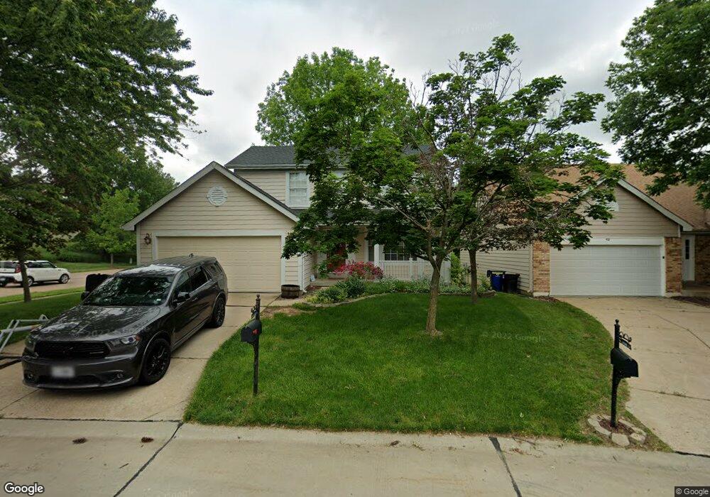
400 Waterside Dr Grover, MO 63040
Estimated Value: $324,751 - $470,000
3
Beds
3
Baths
1,462
Sq Ft
$262/Sq Ft
Est. Value
About This Home
This home is located at 400 Waterside Dr, Grover, MO 63040 and is currently estimated at $383,688, approximately $262 per square foot. 400 Waterside Dr is a home located in St. Louis County with nearby schools including Fairway Elementary School, Wildwood Middle School, and Eureka Senior High School.
Ownership History
Date
Name
Owned For
Owner Type
Purchase Details
Closed on
Jun 7, 2019
Sold by
Wojtowicz Steven R and Varner Wojtowicz Jessica M
Bought by
Wojtowicz Steven R and Varner Wojtowicz Jessica M
Current Estimated Value
Home Financials for this Owner
Home Financials are based on the most recent Mortgage that was taken out on this home.
Original Mortgage
$138,990
Outstanding Balance
$107,405
Interest Rate
4.25%
Mortgage Type
FHA
Estimated Equity
$276,283
Purchase Details
Closed on
Apr 27, 2001
Sold by
Ashworth Christopher D
Bought by
Wojtowicz Steven R and Wojtowicz Jessica M
Home Financials for this Owner
Home Financials are based on the most recent Mortgage that was taken out on this home.
Original Mortgage
$144,530
Interest Rate
6.83%
Create a Home Valuation Report for This Property
The Home Valuation Report is an in-depth analysis detailing your home's value as well as a comparison with similar homes in the area
Home Values in the Area
Average Home Value in this Area
Purchase History
| Date | Buyer | Sale Price | Title Company |
|---|---|---|---|
| Wojtowicz Steven R | -- | Title365 | |
| Wojtowicz Steven R | $149,000 | -- | |
| Wojtowicz Steven R | $149,000 | -- |
Source: Public Records
Mortgage History
| Date | Status | Borrower | Loan Amount |
|---|---|---|---|
| Open | Wojtowicz Steven R | $138,990 | |
| Closed | Wojtowicz Steven R | $144,530 |
Source: Public Records
Tax History
| Year | Tax Paid | Tax Assessment Tax Assessment Total Assessment is a certain percentage of the fair market value that is determined by local assessors to be the total taxable value of land and additions on the property. | Land | Improvement |
|---|---|---|---|---|
| 2025 | $3,480 | $57,650 | $26,410 | $31,240 |
| 2024 | $3,480 | $50,050 | $18,870 | $31,180 |
| 2023 | $3,477 | $50,050 | $18,870 | $31,180 |
| 2022 | $3,265 | $43,650 | $18,870 | $24,780 |
| 2021 | $3,241 | $43,650 | $18,870 | $24,780 |
| 2020 | $3,488 | $44,790 | $18,870 | $25,920 |
| 2019 | $3,502 | $44,790 | $18,870 | $25,920 |
| 2018 | $3,208 | $38,690 | $14,160 | $24,530 |
| 2016 | $2,850 | $33,860 | $9,440 | $24,420 |
Source: Public Records
Map
Nearby Homes
- 326 Waterside Dr Unit E12
- 413 Lea Harbor Ct
- 16346 Copperwood Ln
- 2549 Westglen Farms Dr
- 546 Nantucket Pointe Dr
- 2529 Westglen Farms Dr
- 724 Lakeshore Meadows Dr
- 16042 Nantucket Island Dr
- 16421 Hollister Crossing Dr
- 16500 Victoria Crossing Dr
- 720 Summer Oak Dr
- 134 Jubilee Hill Dr Unit K
- 2 Hermitage II at Regal Pines Enclave
- 424 Audubon Village Spur
- 2 Sequoia at Regal Pines Enclave
- 2 Pin Oak at Regal Pines Enclave
- 16500 Jubilee Hill Spur Unit A
- 2 Maple Expanded at Regal Pines Enclave
- 16555 Birch Forest Dr
- 2437 August Grove Ct
- 402 Waterside Dr
- 404 Waterside Dr
- 406 Waterside Dr
- 408 Waterside Dr
- 342 Waterside Dr
- 414 Waterside Dr
- 410 Waterside Dr
- 340 Waterside Dr Unit E24
- 338 Waterside Dr Unit E15
- 330 Waterside Dr Unit E13
- 336 Waterside Dr Unit E23
- 334 Waterside Dr
- 416 Waterside Dr
- 418 Waterside Dr
- 129 Boathouse Dr
- 332 Waterside Dr Unit E22
- 133 Boathouse Dr
- 420 Waterside Dr
- 125 Boathouse Dr
- 328 Waterside Dr Unit E21
Your Personal Tour Guide
Ask me questions while you tour the home.