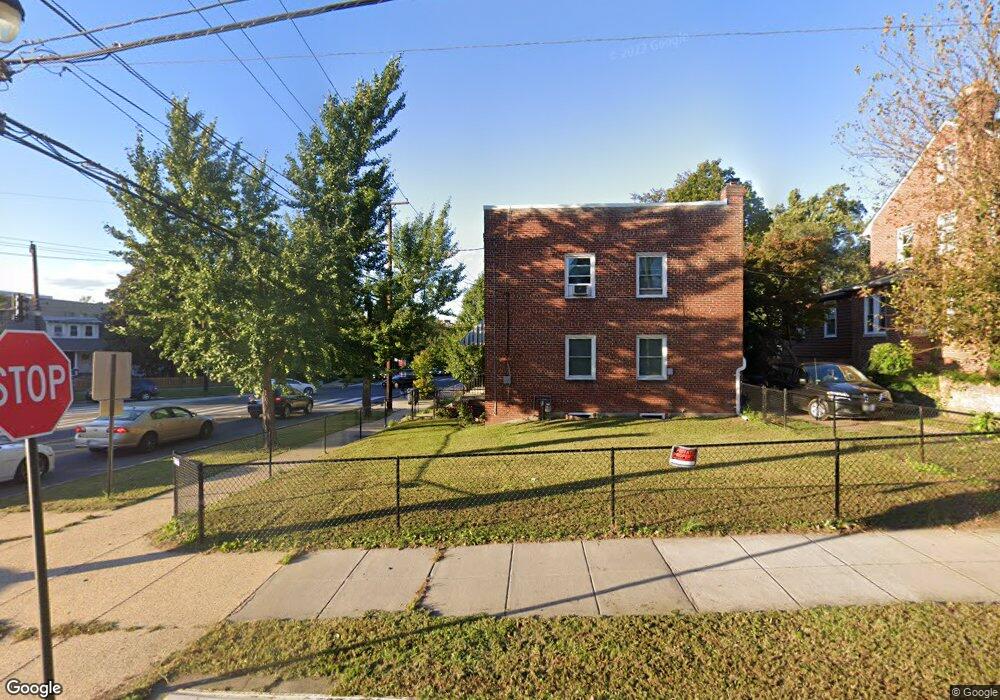
4001 12th St NE Washington, DC 20017
Brookland NeighborhoodEstimated Value: $424,428 - $681,000
2
Beds
1
Bath
918
Sq Ft
$582/Sq Ft
Est. Value
About This Home
This home is located at 4001 12th St NE, Washington, DC 20017 and is currently estimated at $534,357, approximately $582 per square foot. 4001 12th St NE is a home located in District of Columbia with nearby schools including Bunker Hill Elementary School, Brookland Middle School, and Dunbar High School.
Ownership History
Date
Name
Owned For
Owner Type
Purchase Details
Closed on
Nov 14, 1997
Sold by
Kiefer John J and Kiefer Nellie L
Bought by
Jones Reginald
Current Estimated Value
Home Financials for this Owner
Home Financials are based on the most recent Mortgage that was taken out on this home.
Original Mortgage
$66,748
Outstanding Balance
$10,517
Interest Rate
7.23%
Mortgage Type
New Conventional
Estimated Equity
$523,840
Create a Home Valuation Report for This Property
The Home Valuation Report is an in-depth analysis detailing your home's value as well as a comparison with similar homes in the area
Home Values in the Area
Average Home Value in this Area
Purchase History
| Date | Buyer | Sale Price | Title Company |
|---|---|---|---|
| Jones Reginald | -- | Island Title Corp |
Source: Public Records
Mortgage History
| Date | Status | Borrower | Loan Amount |
|---|---|---|---|
| Open | Jones Reginald | $66,748 |
Source: Public Records
Tax History Compared to Growth
Tax History
| Year | Tax Paid | Tax Assessment Tax Assessment Total Assessment is a certain percentage of the fair market value that is determined by local assessors to be the total taxable value of land and additions on the property. | Land | Improvement |
|---|---|---|---|---|
| 2025 | $1,315 | $500,780 | $343,750 | $157,030 |
| 2024 | $1,301 | $480,860 | $333,170 | $147,690 |
| 2023 | $1,288 | $464,600 | $324,920 | $139,680 |
| 2022 | $1,285 | $418,420 | $293,380 | $125,040 |
| 2021 | $1,234 | $408,470 | $289,030 | $119,440 |
| 2020 | $2,467 | $397,230 | $282,390 | $114,840 |
| 2019 | $2,250 | $373,880 | $265,420 | $108,460 |
| 2018 | $2,057 | $352,510 | $0 | $0 |
| 2017 | $1,877 | $333,470 | $0 | $0 |
| 2016 | $1,712 | $292,850 | $0 | $0 |
| 2015 | $1,559 | $275,800 | $0 | $0 |
| 2014 | $1,427 | $238,090 | $0 | $0 |
Source: Public Records
Map
Nearby Homes
- 1207 Randolph St NE
- 1006 Shepherd St NE
- 1004 Shepherd St NE
- 1049 Michigan Ave NE Unit 1049
- 1235 Perry St NE
- 4200 13th St NE
- 1241 Perry St NE
- 3722 13th St NE
- 4019 9th St NE Unit 4
- 4019 9th St NE Unit 1
- 913 Quincy St NE Unit 3
- 3719 12th St NE Unit 209
- 0 Taussig Place NE
- 705 Quincy St NE Unit 2
- 705 Quincy St NE Unit 4
- 820 Taylor St NE
- 1005 Urell Place NE
- 1032 Otis St NE Unit G01
- 1355 Michigan Ave NE
- 901 Varnum St NE
- 4003 12th St NE
- 4007 12th St NE
- 1206 Randolph St NE
- 4009 12th St NE
- 1214 Randolph St NE
- 1216 Randolph St NE
- 3925 12th St NE
- 1218 Randolph St NE
- 1203 Randolph St NE
- 1222 Randolph St NE
- 1226 Randolph St NE
- 1120 Michigan Ave NE
- 3934 12th St NE
- 1213 Michigan Ave NE
- 3926 12th St NE
- 1221 Randolph St NE
- 3923 12th St NE
- 4006 12th St NE
- 3928 12th St NE
- 4008 12th St NE