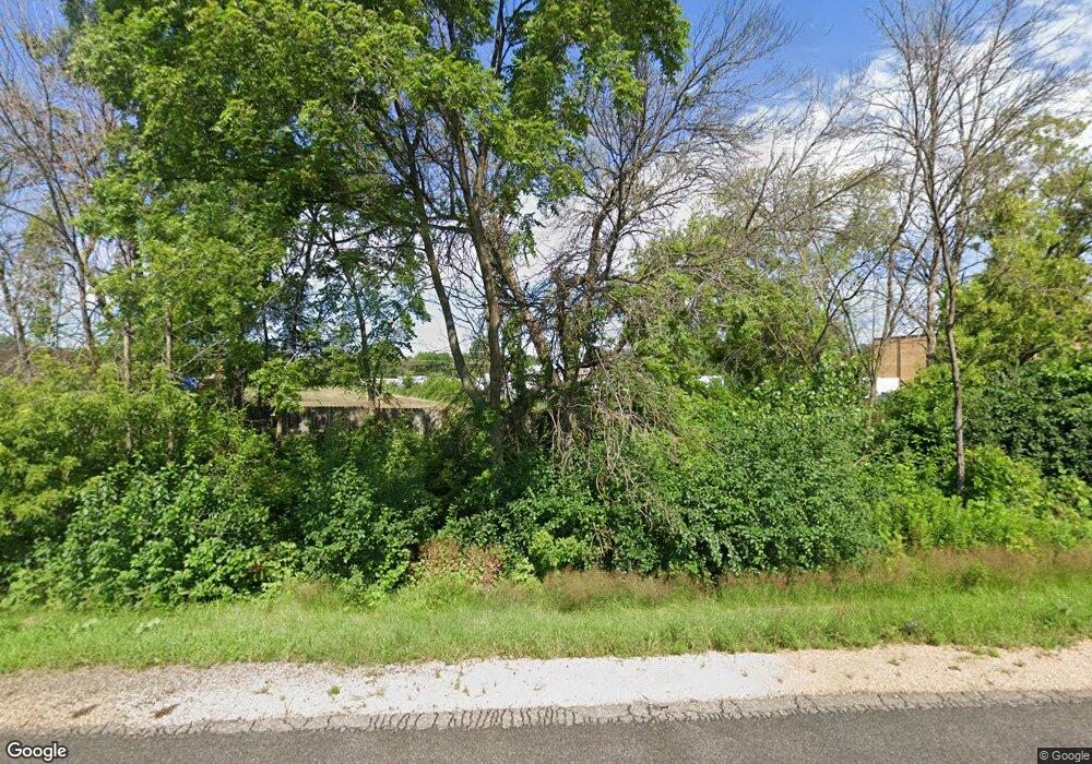
4001 Highway 61 N Saint Paul, MN 55110
Estimated Value: $259,650
2
Beds
1
Bath
936
Sq Ft
$277/Sq Ft
Est. Value
About This Home
This home is located at 4001 Highway 61 N, Saint Paul, MN 55110 and is currently priced at $259,650, approximately $277 per square foot. 4001 Highway 61 N is a home located in Ramsey County with nearby schools including Willow Lane Elementary School, Sunrise Park Middle School, and Gentry Academy High.
Ownership History
Date
Name
Owned For
Owner Type
Purchase Details
Closed on
Mar 27, 2020
Current Estimated Value
Home Financials for this Owner
Home Financials are based on the most recent Mortgage that was taken out on this home.
Interest Rate
3.5%
Purchase Details
Closed on
Jun 19, 2019
Home Financials for this Owner
Home Financials are based on the most recent Mortgage that was taken out on this home.
Interest Rate
3.82%
Purchase Details
Closed on
Oct 29, 2014
Sold by
Wilt Geraldine A
Bought by
Wilt Geraldine A and Geraldine A Wilt Trust
Purchase Details
Closed on
Sep 18, 1996
Sold by
Flaspeter Michael J and Flaspeter Susan M
Bought by
Wilt Thomas M and Wilt Geraldine A
Create a Home Valuation Report for This Property
The Home Valuation Report is an in-depth analysis detailing your home's value as well as a comparison with similar homes in the area
Home Values in the Area
Average Home Value in this Area
Purchase History
| Date | Buyer | Sale Price | Title Company |
|---|---|---|---|
| -- | $399,500 | -- | |
| -- | $507,000 | -- | |
| Wilt Geraldine A | $515 | None Available | |
| Wilt Thomas M | $72,500 | -- |
Source: Public Records
Mortgage History
| Date | Status | Borrower | Loan Amount |
|---|---|---|---|
| Closed | -- | -- | |
| Previous Owner | -- | -- |
Source: Public Records
Tax History Compared to Growth
Tax History
| Year | Tax Paid | Tax Assessment Tax Assessment Total Assessment is a certain percentage of the fair market value that is determined by local assessors to be the total taxable value of land and additions on the property. | Land | Improvement |
|---|---|---|---|---|
| 2022 | $0 | $0 | $0 | $0 |
| 2021 | $0 | $0 | $0 | $0 |
| 2020 | $50 | $248,500 | $248,500 | $0 |
| 2019 | $3,130 | $285,800 | $137,700 | $148,100 |
| 2018 | $2,850 | $239,400 | $137,700 | $101,700 |
| 2017 | $1,411 | $223,900 | $137,700 | $86,200 |
| 2016 | $2,802 | $0 | $0 | $0 |
| 2015 | $2,786 | $204,900 | $129,400 | $75,500 |
| 2014 | $2,514 | $0 | $0 | $0 |
Source: Public Records
Map
Nearby Homes
- 4035 Highland Ave
- 1795 Cheri Ct
- 1794 Cheri Ct
- 1792 Cheri Ct
- 1797 Richard Ct
- 1955 Rishworth Ln
- 4107 White Bear Ave N
- 1778 Linden Cove
- 3734 Little Linden Curve Unit 114
- 3644 Linden Ave Unit 11
- 1827 County Road E E Unit 18
- 3641 Auger Ave
- 3620 Highland Ave
- 3750 Van Dyke St
- 3706 White Bear Ave N
- 3713 Van Dyke St
- 2184 Floral Dr
- 2086 Dorothy Ave
- 4116 Parkridge Dr
- 4113 Wild Goose Ln
- 3996 Hoffman Rd
- 4000 Hoffman Rd
- 4000 Highway 61 N
- 3959 Linden St
- 3948 Hoffman Rd
- 4040 Scheuneman Rd
- 4042 Scheuneman Rd
- 3944 Hoffman Rd
- 4038 Scheuneman Rd
- 3908 Hoffman Rd
- 4010 Scheuneman Rd
- 1820 Birch St
- 1816 Birch St
- 1820 Birch St
- 4044 Scheuneman Rd
- 4020 Scheuneman Rd
- 4036 Scheuneman Rd
- 4046 Scheuneman Rd
- 4076 Scheuneman Rd
- 4000 Scheuneman Rd
