40016 Edison Dr NE Stanchfield, MN 55080
Estimated Value: $469,000 - $614,684
3
Beds
2
Baths
2,102
Sq Ft
$251/Sq Ft
Est. Value
About This Home
This home is located at 40016 Edison Dr NE, Stanchfield, MN 55080 and is currently estimated at $526,895, approximately $250 per square foot. 40016 Edison Dr NE is a home located in Isanti County with nearby schools including Braham Elementary School and Braham Area High School.
Ownership History
Date
Name
Owned For
Owner Type
Purchase Details
Closed on
Jul 15, 2016
Sold by
Tennapel Scott Scott
Bought by
Allen Tracy Tracy
Current Estimated Value
Home Financials for this Owner
Home Financials are based on the most recent Mortgage that was taken out on this home.
Original Mortgage
$443,800
Outstanding Balance
$352,447
Interest Rate
3.42%
Estimated Equity
$174,448
Create a Home Valuation Report for This Property
The Home Valuation Report is an in-depth analysis detailing your home's value as well as a comparison with similar homes in the area
Home Values in the Area
Average Home Value in this Area
Purchase History
| Date | Buyer | Sale Price | Title Company |
|---|---|---|---|
| Allen Tracy Tracy | $444,800 | -- |
Source: Public Records
Mortgage History
| Date | Status | Borrower | Loan Amount |
|---|---|---|---|
| Open | Allen Tracy Tracy | $443,800 |
Source: Public Records
Tax History Compared to Growth
Tax History
| Year | Tax Paid | Tax Assessment Tax Assessment Total Assessment is a certain percentage of the fair market value that is determined by local assessors to be the total taxable value of land and additions on the property. | Land | Improvement |
|---|---|---|---|---|
| 2025 | $3,748 | $544,800 | $157,600 | $387,200 |
| 2024 | $3,668 | $536,800 | $156,800 | $380,000 |
| 2023 | $3,668 | $536,800 | $156,800 | $380,000 |
| 2022 | $3,800 | $514,500 | $142,100 | $372,400 |
| 2021 | $3,702 | $420,600 | $117,300 | $303,300 |
| 2020 | $4,298 | $398,300 | $116,000 | $282,300 |
| 2019 | $3,868 | $405,100 | $0 | $0 |
| 2018 | $3,320 | $311,700 | $0 | $0 |
| 2016 | $3,248 | $0 | $0 | $0 |
| 2015 | $3,316 | $0 | $0 | $0 |
| 2014 | -- | $0 | $0 | $0 |
| 2013 | -- | $0 | $0 | $0 |
Source: Public Records
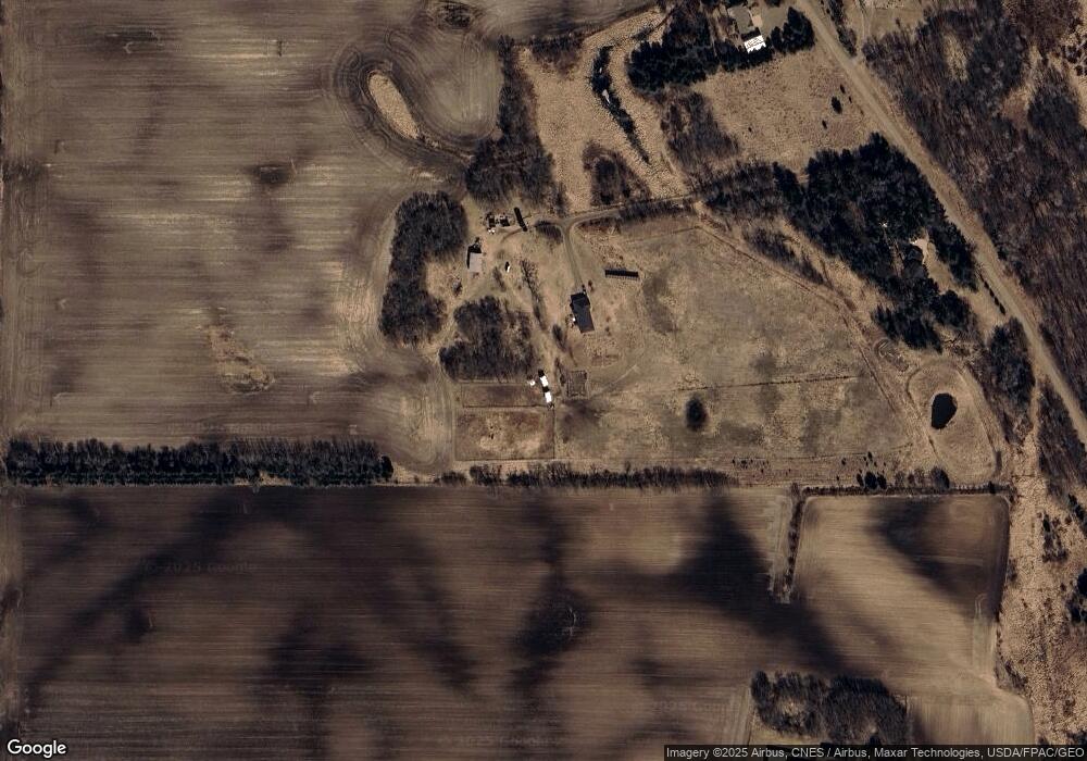
Map
Nearby Homes
- TBD Minnesota 65
- 40525 Highway 65 NE
- 1788 397th Ave NE
- 1005 Lincoln Cir
- 810 Southview Ave
- 918 Shady Ridge Ln
- 900 Shady Ridge Ln
- TBD Lever Dr NE
- TBD (L2B1) Packard St NE
- 432 2nd St SE
- 310 Pinto Cir
- 211 Appaloosa Ct
- 209 Appaloosa Ct
- 215 Appaloosa Ct
- 213 Appaloosa Ct
- 217 Appaloosa Ct
- 219 Appaloosa Ct
- 203 Appaloosa Ct
- TBD (L1B1) Tucker St NE
- 51452 Basswood Rd W
- 40016 Edison Dr NE
- 40140 Edison Dr NE
- 39990 Edison Dr NE
- 40057 Edison Dr NE
- 2711 397th Ave NE
- 2403 397th Ave NE
- 39788 Edison Dr NE
- 40278 Edison Dr NE
- 39867 Edison Dr NE
- 2776 397th Ave NE
- 2383 397th Ave NE
- 40314 Xylite St NE
- 2237 397th Ave NE
- 40376 Xylite St NE
- 2950 397th Ave NE
- 40071 Highway 65 NE
- 40298 Highway 65 NE
- 40001 Highway 65 NE
- 39747 Highway 65 NE
- 39799 Highway 65 NE