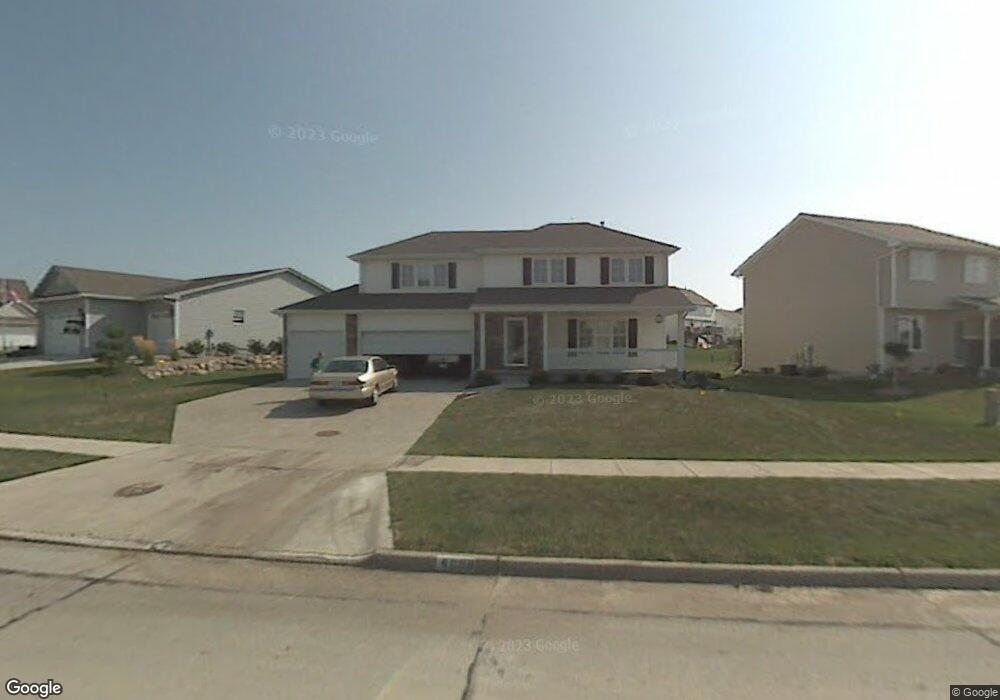
4009 124th St Urbandale, IA 50323
Estimated Value: $408,000 - $421,000
4
Beds
3
Baths
2,156
Sq Ft
$193/Sq Ft
Est. Value
About This Home
This home is located at 4009 124th St, Urbandale, IA 50323 and is currently estimated at $415,359, approximately $192 per square foot. 4009 124th St is a home located in Polk County with nearby schools including Webster Elementary School, Urbandale Middle School, and Urbandale High School.
Ownership History
Date
Name
Owned For
Owner Type
Purchase Details
Closed on
Oct 28, 2014
Sold by
Estate Of Margaret A Haluska and Boehmke Dolores
Bought by
Ward Charles G and Ward Sherry L
Current Estimated Value
Purchase Details
Closed on
Oct 2, 2003
Sold by
Hearthside Homes Inc
Bought by
Haluska William J and Haluska Margaret A
Purchase Details
Closed on
Jul 15, 2002
Sold by
Timberline Land Company Llc
Bought by
Hearthside Homes Inc
Home Financials for this Owner
Home Financials are based on the most recent Mortgage that was taken out on this home.
Original Mortgage
$173,600
Interest Rate
6.79%
Mortgage Type
Construction
Create a Home Valuation Report for This Property
The Home Valuation Report is an in-depth analysis detailing your home's value as well as a comparison with similar homes in the area
Home Values in the Area
Average Home Value in this Area
Purchase History
| Date | Buyer | Sale Price | Title Company |
|---|---|---|---|
| Ward Charles G | $228,000 | None Available | |
| Haluska William J | $218,500 | -- | |
| Hearthside Homes Inc | $40,500 | -- |
Source: Public Records
Mortgage History
| Date | Status | Borrower | Loan Amount |
|---|---|---|---|
| Previous Owner | Hearthside Homes Inc | $173,600 |
Source: Public Records
Tax History Compared to Growth
Tax History
| Year | Tax Paid | Tax Assessment Tax Assessment Total Assessment is a certain percentage of the fair market value that is determined by local assessors to be the total taxable value of land and additions on the property. | Land | Improvement |
|---|---|---|---|---|
| 2025 | $6,290 | $380,300 | $72,000 | $308,300 |
| 2024 | $6,290 | $364,800 | $67,500 | $297,300 |
| 2023 | $5,958 | $364,800 | $67,500 | $297,300 |
| 2022 | $5,888 | $286,600 | $54,900 | $231,700 |
| 2021 | $6,044 | $286,600 | $54,900 | $231,700 |
| 2020 | $5,938 | $279,100 | $53,300 | $225,800 |
| 2019 | $5,548 | $279,100 | $53,300 | $225,800 |
| 2018 | $5,350 | $246,100 | $46,000 | $200,100 |
| 2017 | $5,152 | $246,100 | $46,000 | $200,100 |
| 2016 | $5,026 | $232,800 | $42,900 | $189,900 |
| 2015 | $5,026 | $232,800 | $42,900 | $189,900 |
| 2014 | $4,804 | $220,700 | $40,100 | $180,600 |
Source: Public Records
Map
Nearby Homes
- 3935 122nd St
- 12515 Airline Ave
- 12220 Horton Ave
- 12527 Airline Ave
- 12510 Prairie Dr
- 4143 122nd St
- 12324 Sunflower Dr
- 12335 Tanglewood Dr
- 12202 Madison Ave
- 4016 127th St
- 12723 Sunflower Dr
- 14311 Catalpa Dr
- 14212 Catalpa Dr
- 14216 Catalpa Dr
- 4412 125th St
- 12912 Hammontree Dr
- 4309 129th St
- 12926 Timberline Dr
- 13114 Iltis Dr
- 15217 Springbrook Trail
- 12319 Airline Ave
- 4015 124th St
- 12310 Ridgemont Dr
- 12315 Airline Ave
- 12306 Ridgemont Dr
- 4010 124th St
- 4006 124th St
- 4014 124th St
- 12320 Airline Ave
- 12311 Airline Ave
- 4018 124th St
- 12316 Airline Ave
- 12218 Ridgemont Dr
- 12315 Ridgemont Dr
- 12321 Ridgemont Dr
- 12309 Ridgemont Dr
- 12305 Airline Ave
- 4022 124th St
- 12312 Airline Ave
- 12305 Ridgemont Dr