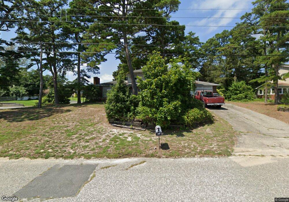
401 Burning Tree Blvd Absecon, NJ 08201
Estimated Value: $401,902 - $496,000
--
Bed
--
Bath
2,091
Sq Ft
$221/Sq Ft
Est. Value
About This Home
This home is located at 401 Burning Tree Blvd, Absecon, NJ 08201 and is currently estimated at $462,726, approximately $221 per square foot. 401 Burning Tree Blvd is a home located in Atlantic County with nearby schools including Emma C. Attales Middle School, Life Point Academy/ Life Point Church, and Holy Spirit High School.
Ownership History
Date
Name
Owned For
Owner Type
Purchase Details
Closed on
Jan 31, 2002
Sold by
Randall Verdell C
Bought by
Randall Cecil J
Current Estimated Value
Home Financials for this Owner
Home Financials are based on the most recent Mortgage that was taken out on this home.
Original Mortgage
$180,000
Outstanding Balance
$74,533
Interest Rate
7.08%
Estimated Equity
$388,193
Create a Home Valuation Report for This Property
The Home Valuation Report is an in-depth analysis detailing your home's value as well as a comparison with similar homes in the area
Home Values in the Area
Average Home Value in this Area
Purchase History
| Date | Buyer | Sale Price | Title Company |
|---|---|---|---|
| Randall Cecil J | $200,000 | -- |
Source: Public Records
Mortgage History
| Date | Status | Borrower | Loan Amount |
|---|---|---|---|
| Open | Randall Cecil J | $180,000 |
Source: Public Records
Tax History Compared to Growth
Tax History
| Year | Tax Paid | Tax Assessment Tax Assessment Total Assessment is a certain percentage of the fair market value that is determined by local assessors to be the total taxable value of land and additions on the property. | Land | Improvement |
|---|---|---|---|---|
| 2025 | $7,933 | $237,100 | $102,500 | $134,600 |
| 2024 | $7,933 | $237,100 | $102,500 | $134,600 |
| 2023 | $7,839 | $237,100 | $102,500 | $134,600 |
| 2022 | $7,839 | $237,100 | $102,500 | $134,600 |
| 2021 | $7,815 | $237,100 | $102,500 | $134,600 |
| 2020 | $7,829 | $237,100 | $102,500 | $134,600 |
| 2019 | $7,772 | $237,100 | $102,500 | $134,600 |
| 2018 | $7,805 | $237,100 | $102,500 | $134,600 |
| 2017 | $7,748 | $237,100 | $102,500 | $134,600 |
| 2016 | $7,530 | $237,100 | $102,500 | $134,600 |
| 2015 | $7,433 | $237,100 | $102,500 | $134,600 |
| 2014 | $7,331 | $237,100 | $102,500 | $134,600 |
Source: Public Records
Map
Nearby Homes
- 202 Burning Tree Blvd
- 111 Woods Rd
- 194 N Shore Rd
- 40 N Shore Rd
- 506 Lazy Ln
- 00 California Ave
- 19 W Illinois Ave
- 120 Pitney Rd
- 107 W Church St
- 117 E Wyoming Ave
- 1 Mechanic St Unit 108
- 15 W Bolton Ave
- 505 Sooy Ln
- 625 N Shore Rd
- 399 Pitney Rd
- 243 Pennsylvania Ave
- 244 E Wyoming Ave
- 4 E Curran Dr
- 1508 7th Ave
- 210 Coolidge Ave
- 403 Burning Tree Blvd
- 402 Cynwyd Dr
- 719 Birch Cir
- 404 Cynwyd Dr
- 399 Burning Tree Blvd
- 503 Burning Tree Blvd
- 400 Burning Tree Blvd
- 308 Cynwyd Dr
- 402 Burning Tree Blvd
- 407 Burning Tree Blvd
- 404 Burning Tree Blvd
- 406 Cynwyd Dr
- 401 Cynwyd Dr
- 305 Burning Tree Blvd
- 403 Cynwyd Dr
- 306 Cynwyd Dr
- 307 Cynwyd Dr
- 405 Cynwyd Dr
- 408 Cynwyd Dr
- 111 Cedar Hill Dr