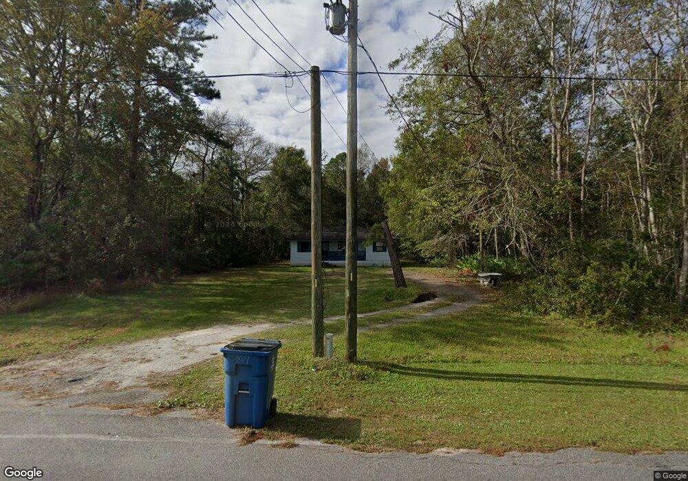
401 New Sterling Rd Brunswick, GA 31525
Sterling NeighborhoodEstimated Value: $126,513 - $184,000
3
Beds
1
Bath
916
Sq Ft
$165/Sq Ft
Est. Value
About This Home
This home is located at 401 New Sterling Rd, Brunswick, GA 31525 and is currently estimated at $150,878, approximately $164 per square foot. 401 New Sterling Rd is a home located in Glynn County with nearby schools including Sterling Elementary School, Jane Macon Middle School, and Brunswick High School.
Ownership History
Date
Name
Owned For
Owner Type
Purchase Details
Closed on
Mar 5, 2007
Sold by
Bradley Dewayne
Bought by
Cash Virgil L
Current Estimated Value
Home Financials for this Owner
Home Financials are based on the most recent Mortgage that was taken out on this home.
Original Mortgage
$67,500
Outstanding Balance
$44,398
Interest Rate
8%
Mortgage Type
New Conventional
Estimated Equity
$106,480
Create a Home Valuation Report for This Property
The Home Valuation Report is an in-depth analysis detailing your home's value as well as a comparison with similar homes in the area
Home Values in the Area
Average Home Value in this Area
Purchase History
| Date | Buyer | Sale Price | Title Company |
|---|---|---|---|
| Cash Virgil L | $90,000 | -- |
Source: Public Records
Mortgage History
| Date | Status | Borrower | Loan Amount |
|---|---|---|---|
| Open | Cash Virgil L | $67,500 | |
| Closed | Cash Virgil L | $22,500 |
Source: Public Records
Tax History Compared to Growth
Tax History
| Year | Tax Paid | Tax Assessment Tax Assessment Total Assessment is a certain percentage of the fair market value that is determined by local assessors to be the total taxable value of land and additions on the property. | Land | Improvement |
|---|---|---|---|---|
| 2025 | $1,121 | $44,680 | $7,240 | $37,440 |
| 2024 | $852 | $33,960 | $7,240 | $26,720 |
| 2023 | $440 | $33,960 | $7,240 | $26,720 |
| 2022 | $550 | $21,960 | $7,240 | $14,720 |
| 2021 | $556 | $21,680 | $7,240 | $14,440 |
| 2020 | $559 | $21,680 | $7,240 | $14,440 |
| 2019 | $559 | $21,680 | $7,240 | $14,440 |
| 2018 | $559 | $21,680 | $7,240 | $14,440 |
| 2017 | $559 | $21,680 | $7,240 | $14,440 |
| 2016 | $535 | $21,680 | $7,240 | $14,440 |
| 2015 | $537 | $21,680 | $7,240 | $14,440 |
| 2014 | $537 | $21,680 | $7,240 | $14,440 |
Source: Public Records
Map
Nearby Homes
- 119 Haleys Place Dr
- 12 Hunters Dr
- 57 Hunters Dr
- 191 Hunters Point Way
- The Hatteras Plan at Covington Pointe
- The Roswell Plan at Covington Pointe
- The Dalton Plan at Covington Pointe
- The Camilla Plan at Covington Pointe
- The Savannah Plan at Covington Pointe
- The Brookhaven Plan at Covington Pointe
- The Athens Plan at Covington Pointe
- The Gwinnett Plan at Covington Pointe
- The Grayson Plan at Covington Pointe
- The Wilmington Plan at Covington Pointe
- The Stonecrest Plan at Covington Pointe
- Davis Plan at McKenzie Gardens
- Norman Plan at McKenzie Gardens
- Denmark Plan at McKenzie Gardens
- 1 Ogden St Unit 4
- 231 Chestnut Dr
- 13 Maggies Ridge Way
- 13 Maggies Ridge Way Unit 1
- 423 New Sterling Rd
- 410 New Sterling Rd
- Lot 3 Maggie's Ridge
- Lot 15 Maggie's Ridge Rd
- 9 Maggies Ridge Way
- Lot 7 Maggie's Ridge
- 17 Maggies Ridge Way
- 431 New Sterling Rd
- Lot 10 Maggie's Ridge Phase II
- 365 New Sterling Rd
- 21 Maggies Ridge Way
- Lot 21 Maggie's Ridge Rd
- Lot 16 Maggie's Ridge Rd
- 102 Maggies Ridge Rd
- 106 Maggies Ridge Rd
- 25 Maggies Ridge Way
- Lot 43 Maggie's Ridge Rd
- 447 New Sterling Rd