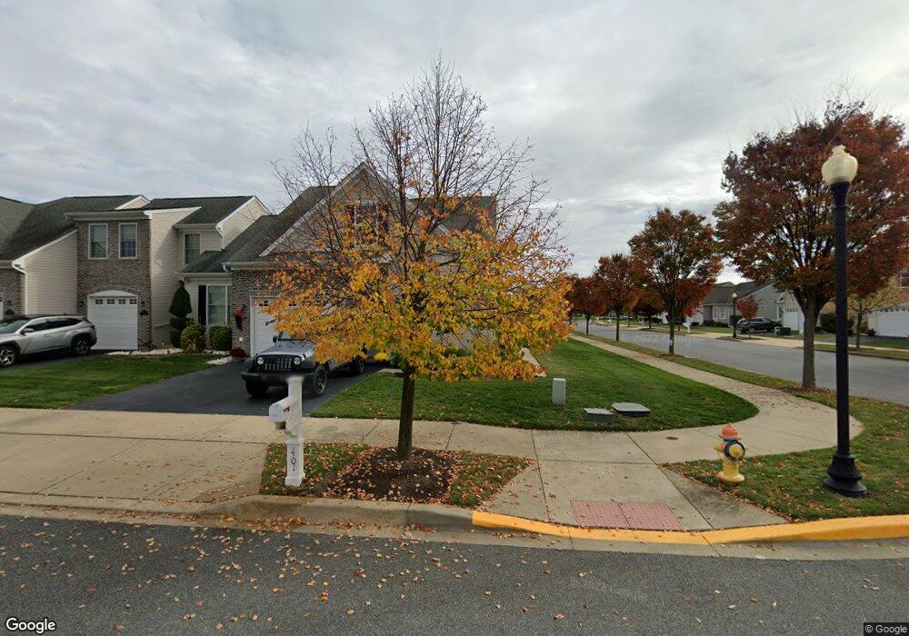
401 Sundial Ln Middletown, DE 19709
Estimated Value: $415,000 - $482,000
2
Beds
2
Baths
2,000
Sq Ft
$222/Sq Ft
Est. Value
About This Home
This home is located at 401 Sundial Ln, Middletown, DE 19709 and is currently estimated at $443,731, approximately $221 per square foot. 401 Sundial Ln is a home located in New Castle County with nearby schools including Bunker Hill Elementary School, Everett Meredith Middle School, and Appoquinimink High School.
Ownership History
Date
Name
Owned For
Owner Type
Purchase Details
Closed on
Oct 5, 2018
Sold by
Gordan Charlotte Latimer
Bought by
Jones Diane M
Current Estimated Value
Home Financials for this Owner
Home Financials are based on the most recent Mortgage that was taken out on this home.
Original Mortgage
$100,000
Outstanding Balance
$87,206
Interest Rate
4.5%
Mortgage Type
New Conventional
Estimated Equity
$356,525
Purchase Details
Closed on
Dec 30, 2008
Sold by
Spring Arbor Homes Lp
Bought by
Gordon Charlotte Latimer and Hammond Albert Benson
Create a Home Valuation Report for This Property
The Home Valuation Report is an in-depth analysis detailing your home's value as well as a comparison with similar homes in the area
Home Values in the Area
Average Home Value in this Area
Purchase History
| Date | Buyer | Sale Price | Title Company |
|---|---|---|---|
| Jones Diane M | -- | None Available | |
| Gordon Charlotte Latimer | $352,051 | None Available |
Source: Public Records
Mortgage History
| Date | Status | Borrower | Loan Amount |
|---|---|---|---|
| Open | Jones Diane M | $100,000 |
Source: Public Records
Tax History Compared to Growth
Tax History
| Year | Tax Paid | Tax Assessment Tax Assessment Total Assessment is a certain percentage of the fair market value that is determined by local assessors to be the total taxable value of land and additions on the property. | Land | Improvement |
|---|---|---|---|---|
| 2024 | $1,900 | $68,000 | $4,200 | $63,800 |
| 2023 | $1,594 | $68,000 | $4,200 | $63,800 |
| 2022 | $1,591 | $68,000 | $4,200 | $63,800 |
| 2021 | $1,645 | $68,000 | $4,200 | $63,800 |
| 2020 | $2,000 | $67,300 | $4,200 | $63,100 |
| 2019 | $2,055 | $67,300 | $4,200 | $63,100 |
| 2018 | $1,374 | $67,300 | $4,200 | $63,100 |
| 2017 | $0 | $67,300 | $4,200 | $63,100 |
| 2016 | -- | $67,300 | $4,200 | $63,100 |
| 2015 | $202 | $67,300 | $4,200 | $63,100 |
| 2014 | $202 | $67,300 | $4,200 | $63,100 |
Source: Public Records
Map
Nearby Homes
- 402 Topiary Ln
- 237 Trellis Ln
- 47 Spring Arbor Dr
- 1023 Bunker Hill Rd
- 832 Woodline Dr
- 715 Dairy Dr
- 131 Rosie Dr
- 1215 Bunker Hill Rd
- 367 E Harvest Ln
- 1167 Bunker Hill Rd
- 306 E Harvest Ln
- 102 Springmill Dr
- 1290 Bunker Hill Rd
- 14 W Lake St
- 580 Whispering Trail
- 574 Whispering Trail
- 20 W Main St
- 577 Whispering Trail
- The Easton Plan at The Grove at Bayberry
- The Wyatt Plan at The Grove at Bayberry
- 403 Sundial Ln
- 405 Sundial Ln
- 407 Sundial Ln
- 12 Spring Arbor Dr
- 300 Obelisk Ln
- 14 Spring Arbor Dr
- 12 Spring Hollow Dr
- 10 Spring Arbor Dr
- 302 Obelisk Ln
- 409 Sundial Ln
- 10 Spring Hollow Dr
- 16 Spring Arbor Dr
- 1 Palisade Cir
- 304 Obelisk Ln
- 411 Sundial Ln
- 3 Palisade Cir
- 18 Spring Arbor Dr
- 306 Obelisk Ln
- 19 Armillary Cir
- 413 Sundial Ln