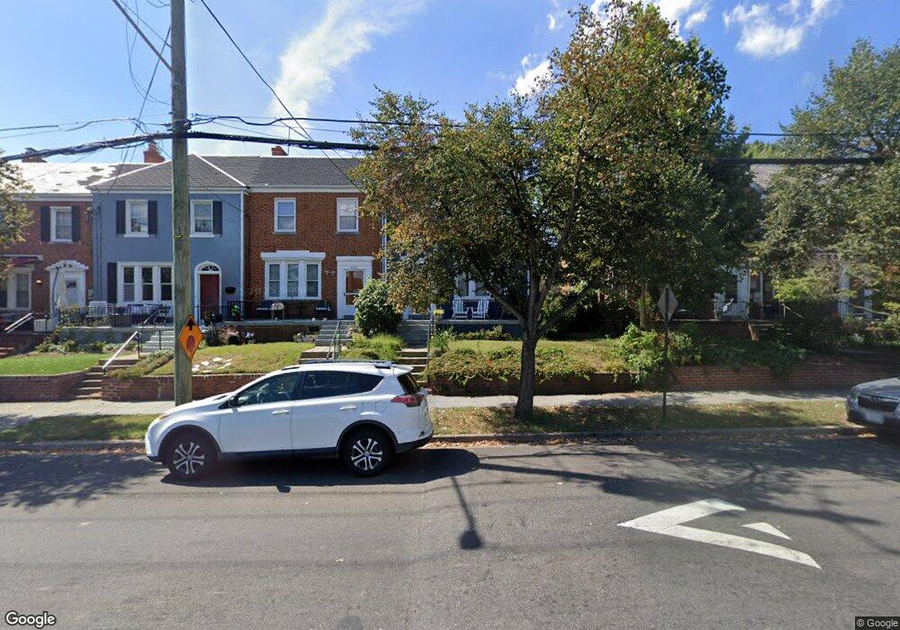
4010 10th St NE Washington, DC 20017
Brookland NeighborhoodEstimated Value: $625,000 - $718,000
3
Beds
3
Baths
1,386
Sq Ft
$480/Sq Ft
Est. Value
About This Home
This home is located at 4010 10th St NE, Washington, DC 20017 and is currently estimated at $664,594, approximately $479 per square foot. 4010 10th St NE is a home located in District of Columbia with nearby schools including Bunker Hill Elementary School, Brookland Middle School, and Dunbar High School.
Ownership History
Date
Name
Owned For
Owner Type
Purchase Details
Closed on
Aug 1, 2008
Sold by
Krug Dolores Parker
Bought by
Douglas John O
Current Estimated Value
Home Financials for this Owner
Home Financials are based on the most recent Mortgage that was taken out on this home.
Original Mortgage
$307,700
Outstanding Balance
$201,801
Interest Rate
6.4%
Mortgage Type
New Conventional
Estimated Equity
$462,793
Create a Home Valuation Report for This Property
The Home Valuation Report is an in-depth analysis detailing your home's value as well as a comparison with similar homes in the area
Home Values in the Area
Average Home Value in this Area
Purchase History
| Date | Buyer | Sale Price | Title Company |
|---|---|---|---|
| Douglas John O | $362,000 | -- |
Source: Public Records
Mortgage History
| Date | Status | Borrower | Loan Amount |
|---|---|---|---|
| Open | Douglas John O | $307,700 |
Source: Public Records
Tax History Compared to Growth
Tax History
| Year | Tax Paid | Tax Assessment Tax Assessment Total Assessment is a certain percentage of the fair market value that is determined by local assessors to be the total taxable value of land and additions on the property. | Land | Improvement |
|---|---|---|---|---|
| 2025 | $5,222 | $704,230 | $365,760 | $338,470 |
| 2024 | $5,017 | $677,320 | $354,510 | $322,810 |
| 2023 | $4,796 | $650,120 | $345,720 | $304,400 |
| 2022 | $4,405 | $596,910 | $310,600 | $286,310 |
| 2021 | $4,109 | $575,980 | $306,000 | $269,980 |
| 2020 | $3,741 | $556,710 | $296,970 | $259,740 |
| 2019 | $3,407 | $537,160 | $279,740 | $257,420 |
| 2018 | $3,109 | $471,830 | $0 | $0 |
| 2017 | $2,833 | $455,570 | $0 | $0 |
| 2016 | $2,582 | $400,350 | $0 | $0 |
| 2015 | $2,349 | $377,390 | $0 | $0 |
| 2014 | $2,146 | $322,660 | $0 | $0 |
Source: Public Records
Map
Nearby Homes
- 4019 9th St NE Unit 4
- 4019 9th St NE Unit 1
- 1004 Shepherd St NE
- 820 Taylor St NE
- 1006 Shepherd St NE
- 0 Taussig Place NE
- 4032 7th St NE
- 913 Quincy St NE Unit 3
- 705 Quincy St NE Unit 2
- 705 Quincy St NE Unit 4
- 1005 Urell Place NE
- 901 Varnum St NE
- 4362 Varnum Place NE
- 1049 Michigan Ave NE Unit 1049
- 4326 Varnum Place NE
- 1207 Randolph St NE
- 4200 13th St NE
- 4306 Varnum Place NE
- 1235 Perry St NE
- 3719 12th St NE Unit 209
- 4008 10th St NE
- 4012 10th St NE
- 4006 10th St NE
- 4014 10th St NE
- 4004 10th St NE
- 4016 10th St NE
- 4002 10th St NE
- 4018 10th St NE
- 4000 10th St NE
- 4009 9th St NE Unit 1
- 4009 9th St NE
- 4009 9th St NE Unit 2
- 4009 9th St NE Unit 4
- 4020 10th St NE
- 4009 9th St NE
- 4019 9th St NE
- 4100 10th St NE
- 4001 9th St NE Unit 3
- 4001 9th St NE Unit 2