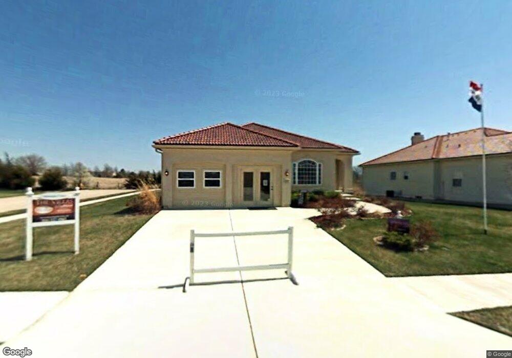
4017 SW Odell Dr Lees Summit, MO 64082
Estimated Value: $461,988 - $584,000
3
Beds
3
Baths
1,813
Sq Ft
$279/Sq Ft
Est. Value
About This Home
This home is located at 4017 SW Odell Dr, Lees Summit, MO 64082 and is currently estimated at $504,997, approximately $278 per square foot. 4017 SW Odell Dr is a home located in Jackson County with nearby schools including Summit Pointe Elementary School, Summit Lakes Middle School, and Lee's Summit West High School.
Ownership History
Date
Name
Owned For
Owner Type
Purchase Details
Closed on
Oct 13, 2011
Sold by
Nichols Jack E and Nichols Sandra J
Bought by
Bartram Robert M and Bartram Mary L
Current Estimated Value
Purchase Details
Closed on
Mar 4, 2009
Sold by
Lasalle Bank National Association
Bought by
Nichols Jack E and Nichols Sandra J
Purchase Details
Closed on
Mar 20, 2008
Sold by
Powell Michael L
Bought by
Lasalle Bank Na and Merrill Lynch First Franklin Mortgage Lo
Purchase Details
Closed on
Apr 23, 2007
Sold by
Mcgovern Builders Inc
Bought by
Powell Michael L
Home Financials for this Owner
Home Financials are based on the most recent Mortgage that was taken out on this home.
Original Mortgage
$369,750
Interest Rate
8.65%
Mortgage Type
Stand Alone First
Create a Home Valuation Report for This Property
The Home Valuation Report is an in-depth analysis detailing your home's value as well as a comparison with similar homes in the area
Home Values in the Area
Average Home Value in this Area
Purchase History
| Date | Buyer | Sale Price | Title Company |
|---|---|---|---|
| Bartram Robert M | -- | Stewart Title Co Midwest Div | |
| Nichols Jack E | -- | Mokan Title Services Llc | |
| Lasalle Bank Na | $337,491 | None Available | |
| Powell Michael L | -- | Coffelt Land Title Inc |
Source: Public Records
Mortgage History
| Date | Status | Borrower | Loan Amount |
|---|---|---|---|
| Previous Owner | Powell Michael L | $369,750 |
Source: Public Records
Tax History
| Year | Tax Paid | Tax Assessment Tax Assessment Total Assessment is a certain percentage of the fair market value that is determined by local assessors to be the total taxable value of land and additions on the property. | Land | Improvement |
|---|---|---|---|---|
| 2025 | $5,065 | $78,681 | $14,947 | $63,734 |
| 2024 | $5,028 | $70,146 | $10,682 | $59,464 |
| 2023 | $5,028 | $70,146 | $12,333 | $57,813 |
| 2022 | $5,230 | $64,790 | $7,317 | $57,473 |
| 2021 | $5,338 | $64,790 | $7,317 | $57,473 |
| 2020 | $5,385 | $64,723 | $7,317 | $57,406 |
| 2019 | $5,238 | $64,723 | $7,317 | $57,406 |
| 2018 | $1,645,176 | $56,330 | $6,368 | $49,962 |
| 2016 | $4,316 | $48,982 | $6,707 | $42,275 |
Source: Public Records
Map
Nearby Homes
- 1021 SW Drake Cir
- 3916 SW Granite Ln
- 1009 SW Drake Cir
- 1008 SW Whistle Dr
- 3940 SW Flintrock Dr
- 1422 SW Georgetown Dr
- 4407 SW Briarbrook Dr
- 3796 SW Boulder Dr
- 3932 SW Flintrock Dr
- 3925 SW Windsong Dr
- 3925 SW Flintrock Dr
- 1409 SW Whistle Dr
- 1413 SW Whistle Dr
- 901 SW Drake Dr
- 1929 SW Merryman Dr
- Vacant Lot 3 - SW M-150 Hwy
- 3916 SW Flintrock Dr
- 4432 SW Rivulet Dr
- 3904 SW Flintrock Dr
- 4413 SW Flintrock Dr
- 4021 SW Odell Dr
- 4016 SW Odell Dr
- 4013 SW Odell Dr
- 4025 SW Odell Dr
- 1200 SW Neelie Ln
- 4020 SW Odell Dr
- 4009 SW Odell Dr
- 4029 SW Odell Dr
- 4024 SW Odell Dr
- 1205 SW Neelie Ln
- 1204 SW Neelie Ln
- 4004 SW Odell Dr
- 4005 SW Odell Dr
- 1212 SW 40th St
- 1209 SW Neelie Ln
- 4000 SW Odell Dr
- 4033 SW Odell Dr
- 4001 SW Odell Dr
- 1216 SW 40th St
- 1201 SW 40th St
Your Personal Tour Guide
Ask me questions while you tour the home.