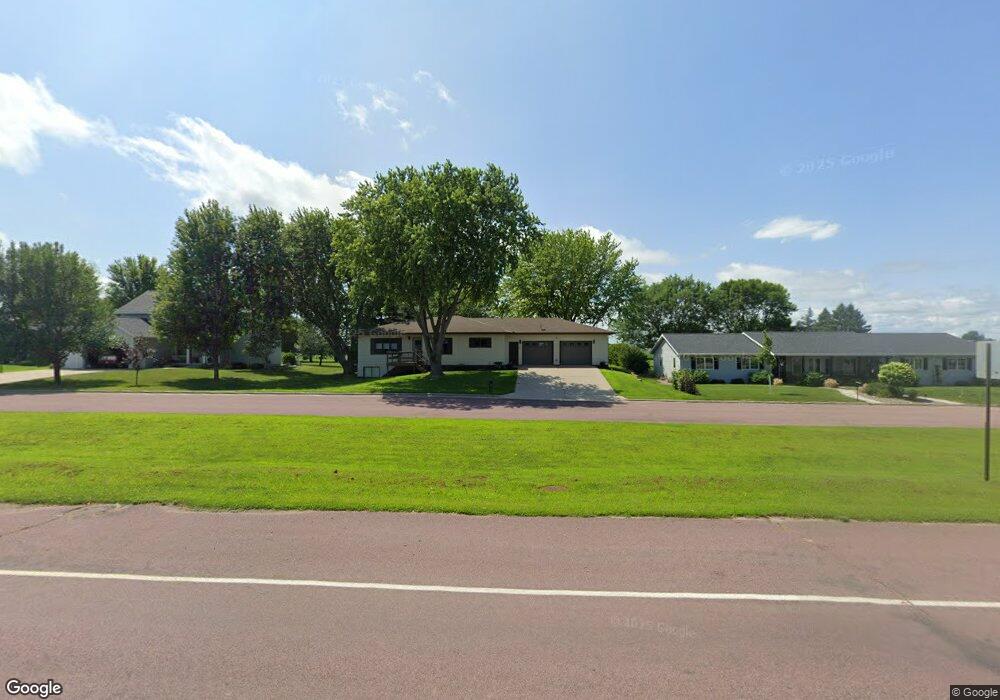
402 S Range Rd Springfield, MN 56087
Estimated Value: $315,433 - $502,000
3
Beds
4
Baths
3,024
Sq Ft
$123/Sq Ft
Est. Value
About This Home
This home is located at 402 S Range Rd, Springfield, MN 56087 and is currently estimated at $372,358, approximately $123 per square foot. 402 S Range Rd is a home located in Brown County with nearby schools including Springfield Elementary School, Springfield Secondary School, and St. Raphael Elementary School.
Ownership History
Date
Name
Owned For
Owner Type
Purchase Details
Closed on
Mar 30, 2020
Sold by
Jacobsen Dorothy
Bought by
Fredin Michell D
Current Estimated Value
Home Financials for this Owner
Home Financials are based on the most recent Mortgage that was taken out on this home.
Original Mortgage
$154,400
Outstanding Balance
$136,780
Interest Rate
3.4%
Mortgage Type
New Conventional
Estimated Equity
$235,578
Create a Home Valuation Report for This Property
The Home Valuation Report is an in-depth analysis detailing your home's value as well as a comparison with similar homes in the area
Purchase History
| Date | Buyer | Sale Price | Title Company |
|---|---|---|---|
| Fredin Michell D | $193,909 | None Available |
Source: Public Records
Mortgage History
| Date | Status | Borrower | Loan Amount |
|---|---|---|---|
| Open | Fredin Michell D | $154,400 |
Source: Public Records
Tax History
| Year | Tax Paid | Tax Assessment Tax Assessment Total Assessment is a certain percentage of the fair market value that is determined by local assessors to be the total taxable value of land and additions on the property. | Land | Improvement |
|---|---|---|---|---|
| 2024 | $4,482 | $252,900 | $23,100 | $229,800 |
| 2023 | $4,482 | $238,000 | $20,100 | $217,900 |
| 2022 | $3,540 | $187,100 | $17,100 | $170,000 |
| 2021 | $3,142 | $171,500 | $14,800 | $156,700 |
| 2020 | $3,166 | $166,000 | $12,900 | $153,100 |
| 2019 | $3,114 | $166,400 | $12,900 | $153,500 |
| 2018 | $2,952 | $165,500 | $12,900 | $152,600 |
| 2017 | $2,880 | $164,400 | $12,900 | $151,500 |
| 2016 | $2,686 | $146,916 | $0 | $0 |
| 2015 | -- | $0 | $0 | $0 |
| 2014 | -- | $0 | $0 | $0 |
| 2013 | -- | $0 | $0 | $0 |
Source: Public Records
Map
Nearby Homes
- 502 W Lincoln St
- 18 S Spring Ave
- 124 N Park Ave
- 111 N Park Ave
- 40494 U S 14
- 117 W Van Dusen St
- 118 N O Connell Ave
- xxx E Appel St
- 401 S County Road 5 Unit 102
- Lot 5-8 E Winona St
- 23789 490th Ave
- 109 White St N
- 213 Brown St W
- 26609 County Road 45
- 13384 300th Ave
- 210 2nd St E
- 118 Somerville Ave
- 0 Mn Hwy 30 at 570th Ave Unit NOC6334885
- 0 Mn Hwy 30 at 570th Ave Unit NOC6334884
- 411 Vernon Ave
- 400 S Range Rd
- 404 S Range Rd
- 406 S Range Rd
- 711 Walnut St
- 712 Walnut St
- 408 S Range Rd
- 413 S Range Rd
- 305 S Range Rd
- 306 S Range Rd
- 404 S Paffrath Ave
- 415 S Range Rd
- 301 S Range Rd
- 410 S Paffrath Ave
- 208 S Range Rd
- 416 S Paffrath Ave
- 320 S Paffrath Ave
- 314 S Paffrath Ave
- 18545 County Road 4
- 420 S Paffrath Ave
- 306 S Paffrath Ave
Your Personal Tour Guide
Ask me questions while you tour the home.