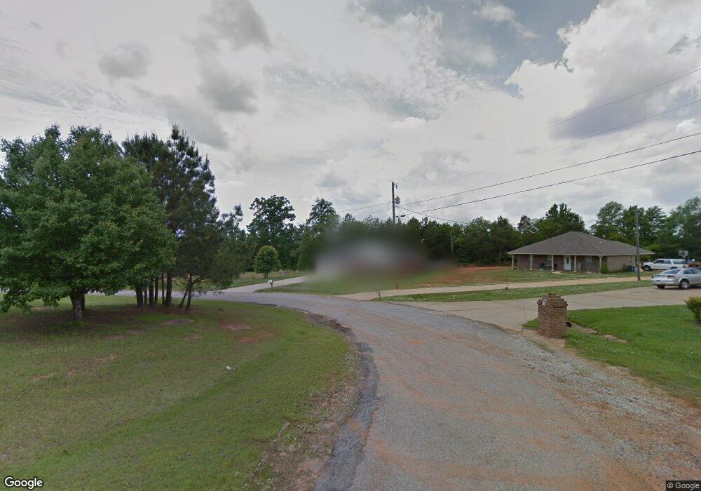
402 Thornton Dr Columbus, MS 39702
Estimated Value: $194,000 - $214,761
3
Beds
1
Bath
1,697
Sq Ft
$121/Sq Ft
Est. Value
About This Home
This home is located at 402 Thornton Dr, Columbus, MS 39702 and is currently estimated at $205,940, approximately $121 per square foot. 402 Thornton Dr is a home.
Ownership History
Date
Name
Owned For
Owner Type
Purchase Details
Closed on
Aug 6, 2024
Sold by
Gore Myrna
Bought by
Gore Myrna and Dill Steven C
Current Estimated Value
Purchase Details
Closed on
Apr 9, 2021
Sold by
Dinha-Martani Gorgis and Gorgis-Attar Samira
Bought by
Gore Myrna
Purchase Details
Closed on
Apr 11, 2016
Sold by
Matani Haney Gorgis and Matani Brittany Morgan
Bought by
Martani Gorgis Dinha and Attar Samira Gorgis
Purchase Details
Closed on
Feb 23, 2007
Sold by
Lowndes Investment Company
Bought by
Sheffield Construction Inc
Create a Home Valuation Report for This Property
The Home Valuation Report is an in-depth analysis detailing your home's value as well as a comparison with similar homes in the area
Purchase History
| Date | Buyer | Sale Price | Title Company |
|---|---|---|---|
| Gore Myrna | -- | None Listed On Document | |
| Gore Myrna | -- | None Listed On Document | |
| Gore Myrna | -- | None Available | |
| Martani Gorgis Dinha | -- | None Available | |
| Sheffield Construction Inc | -- | -- |
Source: Public Records
Tax History
| Year | Tax Paid | Tax Assessment Tax Assessment Total Assessment is a certain percentage of the fair market value that is determined by local assessors to be the total taxable value of land and additions on the property. | Land | Improvement |
|---|---|---|---|---|
| 2025 | $371 | $13,112 | $0 | $0 |
| 2024 | $368 | $13,112 | $0 | $0 |
| 2023 | $366 | $11,291 | $0 | $0 |
| 2022 | $367 | $11,291 | $0 | $0 |
| 2021 | $337 | $11,291 | $0 | $0 |
| 2020 | $319 | $11,291 | $0 | $0 |
| 2019 | $329 | $11,127 | $0 | $0 |
| 2018 | $329 | $11,122 | $0 | $0 |
| 2017 | $1,447 | $11,122 | $0 | $0 |
| 2016 | $1,447 | $16,683 | $0 | $0 |
| 2015 | $687 | $11,379 | $0 | $0 |
| 2014 | $687 | $11,379 | $0 | $0 |
Source: Public Records
Map
Nearby Homes
- 611 Thornton Dr
- 479 Bryant Rd
- 76 Richardson Rd
- 1553 Hildreth Rd
- 91 Wilson Dr
- 346 Williams Place
- 805 Timber Creek Dr
- 836 Oswalt Rd
- 274 Hughes Rd
- 304 Timber Creek Dr
- 262 Center Rd
- 164 Sleepy Fawn Park
- 178 Rogers Way
- 59 Savannah St
- 9 Monticello Cir
- 17 Paige Cove
- 16 Jenny Ln
- 0 E Minnie Vaughn Rd
- 248 Lakeover Dr W
- 0 Golding Cir
- 414 Thornton Dr
- 392 Thornton Dr
- 430 Thornton Dr
- 386 Thornton Dr
- 367 Thornton Dr
- 444 Thornton Dr
- 445 Thornton Dr
- 372 Thornton Dr
- 460 Thornton Dr
- 350 Thornton Dr
- 347 Thornton Dr
- 342 Thornton Dr
- 513 Thornton Dr
- 317 Thornton Dr
- 527 Thornton Dr
- 478 Thornton Dr
- 318 Thornton Dr
- 484 Thornton Dr
- 541 Thornton Dr
- 303 Thornton Dr
Your Personal Tour Guide
Ask me questions while you tour the home.