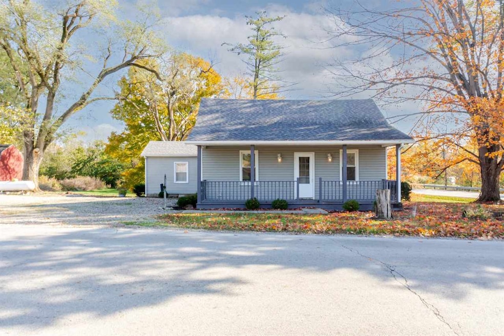

$222,900
- 3 Beds
- 1 Bath
- 1,280 Sq Ft
- 4021 Ohio 732
- Eaton, OH
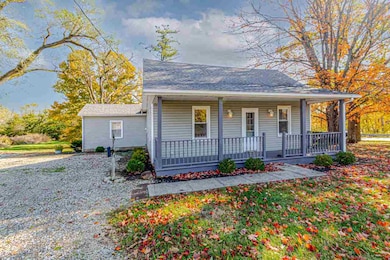
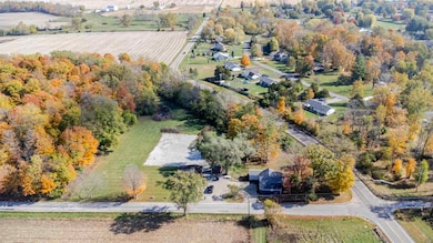
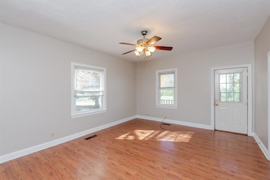
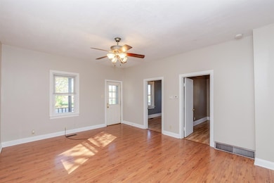
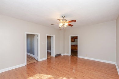
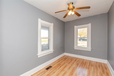
Enjoy country living yet close to town with this adorable 3 bedroom, 1 bath home on nearly 3.5 acres in Gasper Township. The property offers a beautiful countryside setting with mature trees, a large yard, and peaceful views. A welcoming front porch spans the front of the home. Inside, you'll find a spacious living room and a large kitchen open to the dining room, offering plenty of cabinets and
Andrew Gaydosh eXp Realty