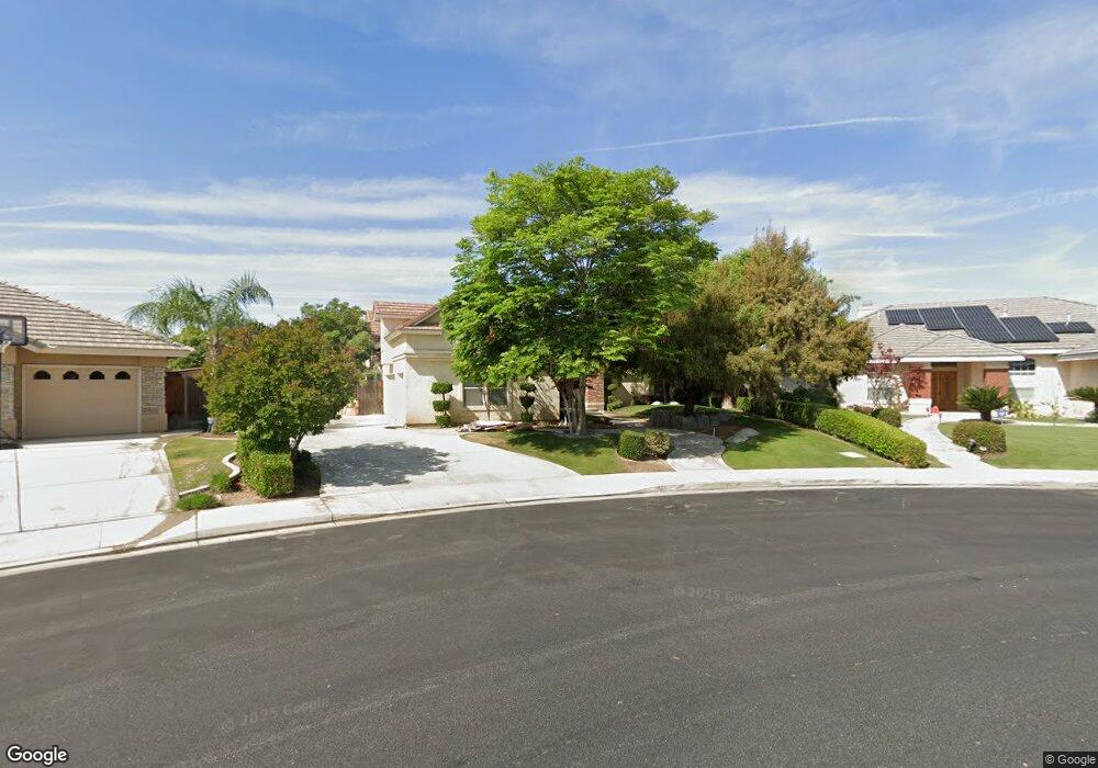
403 Hawk Springs Dr Bakersfield, CA 93312
Brighton NeighborhoodEstimated Value: $663,000 - $740,000
5
Beds
4
Baths
2,664
Sq Ft
$261/Sq Ft
Est. Value
About This Home
This home is located at 403 Hawk Springs Dr, Bakersfield, CA 93312 and is currently estimated at $695,205, approximately $260 per square foot. 403 Hawk Springs Dr is a home located in Kern County with nearby schools including American Elementary School, Rosedale Middle School, and Liberty High School.
Ownership History
Date
Name
Owned For
Owner Type
Purchase Details
Closed on
Feb 1, 2016
Sold by
Tolliver Dennis and Tolliver Adrianne M
Bought by
Tolliver Adrianne M
Current Estimated Value
Home Financials for this Owner
Home Financials are based on the most recent Mortgage that was taken out on this home.
Original Mortgage
$304,650
Interest Rate
3.98%
Mortgage Type
New Conventional
Create a Home Valuation Report for This Property
The Home Valuation Report is an in-depth analysis detailing your home's value as well as a comparison with similar homes in the area
Home Values in the Area
Average Home Value in this Area
Purchase History
| Date | Buyer | Sale Price | Title Company |
|---|---|---|---|
| Tolliver Adrianne M | -- | American Coast Title |
Source: Public Records
Mortgage History
| Date | Status | Borrower | Loan Amount |
|---|---|---|---|
| Closed | Tolliver Adrianne M | $304,650 |
Source: Public Records
Tax History Compared to Growth
Tax History
| Year | Tax Paid | Tax Assessment Tax Assessment Total Assessment is a certain percentage of the fair market value that is determined by local assessors to be the total taxable value of land and additions on the property. | Land | Improvement |
|---|---|---|---|---|
| 2025 | $6,543 | $455,930 | $76,748 | $379,182 |
| 2024 | $6,420 | $446,992 | $75,244 | $371,748 |
| 2023 | $6,420 | $438,228 | $73,769 | $364,459 |
| 2022 | $6,315 | $429,636 | $72,323 | $357,313 |
| 2021 | $6,146 | $421,212 | $70,905 | $350,307 |
| 2020 | $6,081 | $416,894 | $70,178 | $346,716 |
| 2019 | $5,942 | $416,894 | $70,178 | $346,716 |
| 2018 | $5,804 | $400,706 | $67,453 | $333,253 |
| 2017 | $5,743 | $392,850 | $66,131 | $326,719 |
| 2016 | $5,567 | $385,148 | $64,835 | $320,313 |
| 2015 | $5,495 | $379,364 | $63,862 | $315,502 |
| 2014 | $5,390 | $371,934 | $62,612 | $309,322 |
Source: Public Records
Map
Nearby Homes
- 11004 Chimney Rock Dr
- 11009 Strathaven St
- 11022 Eagle Rock Dr
- 11100 Eagle Rock Dr
- 11017 Iron Creek Ave
- 10723 Iron Creek Ave
- 10623 Fishers Peak Dr
- 412 Hollyhill Dr Unit 8
- 204 Somerford Ct Unit 2
- 10403 Bay Colony Dr
- 10711 Four Bears Dr
- 11315 Queensbury Dr Unit 1
- 10514 Brimhall Rd
- 10207 Bay Colony Dr
- 11808 Wethersfield St
- 10220 Heather Valley Dr
- 10418 Brimhall Rd
- 11917 Leigh River St
- 12008 Stonington St
- 10931 Shellabarger Rd
- 10919 Rustic Creek Dr
- 407 Hawk Springs Dr
- 400 Rough Rock Ct
- 404 Rough Rock Ct
- 10915 Rustic Creek Dr
- 411 Hawk Springs Dr
- 10914 Rustic Creek Dr
- 408 Rough Rock Ct
- 10911 Rustic Creek Dr
- 10910 Rustic Creek Dr
- 401 Rough Rock Ct
- 10907 Rustic Creek Dr
- 10909 Dino Ridge Dr
- 11000 Chimney Rock Dr
- 11000 Strathaven St
- 10906 Rustic Creek Dr
- 405 Rough Rock Ct
- 11008 Chimney Rock Dr
- 409 Rough Rock Ct
- 10905 Dino Ridge Dr