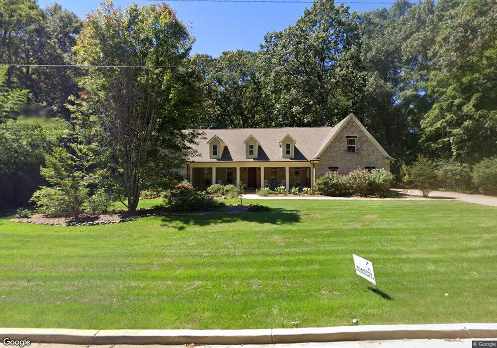
403 Thomas St Oxford, MS 38655
Estimated Value: $769,000 - $1,291,000
5
Beds
4
Baths
4,171
Sq Ft
$238/Sq Ft
Est. Value
About This Home
This home is located at 403 Thomas St, Oxford, MS 38655 and is currently estimated at $994,672, approximately $238 per square foot. 403 Thomas St is a home located in Lafayette County with nearby schools including Della Davidson Elementary School, Bramlett Elementary School, and Central Elementary School.
Ownership History
Date
Name
Owned For
Owner Type
Purchase Details
Closed on
Nov 3, 2021
Sold by
Seratt Jerry L
Bought by
Graves Stanley W and Graves Judy L
Current Estimated Value
Purchase Details
Closed on
Dec 12, 2008
Sold by
King Mary Cecile Dornbusch and Bramlett Carolyn Kirk King
Bought by
Bramlett Carolynn Kirk King and Bramlett Eugene
Purchase Details
Closed on
Jun 29, 2007
Sold by
King Katherine C and King Margaret E
Bought by
King Katherine C and King Margaret E
Purchase Details
Closed on
Sep 11, 2006
Sold by
King Cecile D and King Katherine C
Bought by
King Katherine C and King Margaret E
Create a Home Valuation Report for This Property
The Home Valuation Report is an in-depth analysis detailing your home's value as well as a comparison with similar homes in the area
Purchase History
| Date | Buyer | Sale Price | Title Company |
|---|---|---|---|
| Graves Stanley W | -- | Matthew S Mckenzie Msb And Mci | |
| Bramlett Carolynn Kirk King | -- | None Available | |
| King Katherine C | -- | None Available | |
| King Katherine C | -- | None Available |
Source: Public Records
Tax History
| Year | Tax Paid | Tax Assessment Tax Assessment Total Assessment is a certain percentage of the fair market value that is determined by local assessors to be the total taxable value of land and additions on the property. | Land | Improvement |
|---|---|---|---|---|
| 2025 | $4,103 | $47,939 | $0 | $0 |
| 2024 | $4,103 | $41,484 | $0 | $0 |
| 2023 | $4,166 | $40,745 | $0 | $0 |
| 2022 | $4,103 | $40,745 | $0 | $0 |
| 2021 | $1,130 | $40,627 | $0 | $0 |
| 2020 | $1,098 | $38,920 | $0 | $0 |
| 2019 | $1,098 | $38,920 | $0 | $0 |
| 2018 | $1,098 | $38,920 | $0 | $0 |
| 2017 | $1,098 | $38,920 | $0 | $0 |
| 2016 | $1,015 | $37,579 | $0 | $0 |
| 2015 | -- | $37,579 | $0 | $0 |
| 2014 | -- | $37,579 | $0 | $0 |
Source: Public Records
Map
Nearby Homes
Your Personal Tour Guide
Ask me questions while you tour the home.