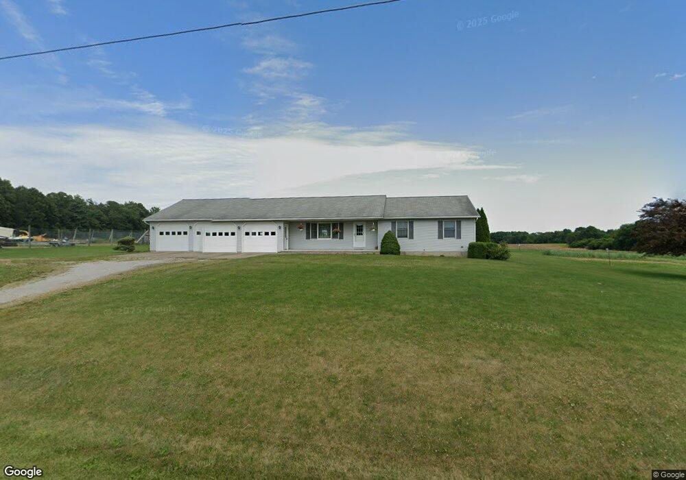
4031 Bates Rd Wooster, OH 44691
Estimated Value: $307,000 - $385,000
3
Beds
2
Baths
1,556
Sq Ft
$222/Sq Ft
Est. Value
About This Home
This home is located at 4031 Bates Rd, Wooster, OH 44691 and is currently estimated at $345,285, approximately $221 per square foot. 4031 Bates Rd is a home located in Wayne County with nearby schools including Northwestern Elementary School, Northwestern Middle School, and Northwestern High School.
Ownership History
Date
Name
Owned For
Owner Type
Purchase Details
Closed on
Dec 10, 2004
Sold by
Weaver Virgil D and Weaver Janet W
Bought by
Wise Keith E and Wise Gina B
Current Estimated Value
Home Financials for this Owner
Home Financials are based on the most recent Mortgage that was taken out on this home.
Original Mortgage
$70,000
Interest Rate
5.71%
Mortgage Type
Seller Take Back
Purchase Details
Closed on
Aug 30, 2004
Sold by
Weaver Virgil D and Weaver Janet W
Bought by
Weaver Virgil D and Weaver Janet W
Create a Home Valuation Report for This Property
The Home Valuation Report is an in-depth analysis detailing your home's value as well as a comparison with similar homes in the area
Purchase History
| Date | Buyer | Sale Price | Title Company |
|---|---|---|---|
| Wise Keith E | $95,000 | -- | |
| Weaver Virgil D | -- | -- |
Source: Public Records
Mortgage History
| Date | Status | Borrower | Loan Amount |
|---|---|---|---|
| Previous Owner | Wise Keith E | $70,000 |
Source: Public Records
Tax History
| Year | Tax Paid | Tax Assessment Tax Assessment Total Assessment is a certain percentage of the fair market value that is determined by local assessors to be the total taxable value of land and additions on the property. | Land | Improvement |
|---|---|---|---|---|
| 2024 | $3,120 | $95,740 | $18,510 | $77,230 |
| 2023 | $2,994 | $95,740 | $18,510 | $77,230 |
| 2022 | $2,272 | $67,910 | $13,130 | $54,780 |
| 2021 | $2,277 | $67,910 | $13,130 | $54,780 |
| 2020 | $2,304 | $67,910 | $13,130 | $54,780 |
| 2019 | $2,220 | $62,240 | $11,670 | $50,570 |
| 2018 | $2,171 | $62,240 | $11,670 | $50,570 |
| 2017 | $2,057 | $62,240 | $11,670 | $50,570 |
| 2016 | $1,993 | $59,840 | $11,220 | $48,620 |
| 2015 | $1,961 | $59,840 | $11,220 | $48,620 |
| 2014 | $1,985 | $59,840 | $11,220 | $48,620 |
| 2013 | $1,995 | $58,630 | $11,120 | $47,510 |
Source: Public Records
Map
Nearby Homes
- 6574 Gable Rd
- 5754 Cedar Valley Rd
- 4241 Lattasburg Rd
- V/L #11 Rice Hill Rd
- V/L #5 Rice Hill Rd
- V/L #10 Rice Hill Rd
- V/L #7 Rice Hill Rd
- V/L #3 Rice Hill Rd
- V/L #8 Rice Hill Rd
- V/L #2 Rice Hill Rd
- V/L #13 Rice Hill Rd
- V/L #4 Rice Hill Rd
- V/L #6 Rice Hill Rd
- V/L #9 Rice Hill Rd
- V/L #1 Rice Hill Rd
- 156 U S 250
- 4185 Mechanicsburg Rd
- 3094 Briarwood Dr
- 155 County Road 30a
- 4975 Clearcreek Valley Rd
- 4103 Bates Rd
- 3929 Bates Rd
- 4141 Bates Rd
- 3878 Bates Rd
- 3763 Bates Rd
- 4328 Bates Rd
- 4499 Bates Rd
- 8021 Hiner Rd
- 7487 Hiner Rd
- 4677 Bates Rd
- 7142 Lattasburg Rd
- 7792 Hiner Rd
- 7788 Hiner Rd
- 7144 Lattasburg Rd
- 7483 Lattasburg Rd
- 7744 Hiner Rd
- 7345 Lattasburg Rd
- 7373 Lattasburg Rd
- 7545 Lattasburg Rd
- 7814 W Smithville Western Rd
Your Personal Tour Guide
Ask me questions while you tour the home.