4033 Penhurst Dr Unit 1B Marietta, GA 30062
East Cobb NeighborhoodEstimated Value: $751,000 - $1,006,000
5
Beds
3
Baths
3,746
Sq Ft
$230/Sq Ft
Est. Value
About This Home
This home is located at 4033 Penhurst Dr Unit 1B, Marietta, GA 30062 and is currently estimated at $862,382, approximately $230 per square foot. 4033 Penhurst Dr Unit 1B is a home located in Cobb County with nearby schools including East Side Elementary School, Dodgen Middle School, and Walton High School.
Ownership History
Date
Name
Owned For
Owner Type
Purchase Details
Closed on
Jun 24, 1997
Sold by
Loux S Scott and Loux Lisa M
Bought by
Slowinski Kathleen R
Current Estimated Value
Home Financials for this Owner
Home Financials are based on the most recent Mortgage that was taken out on this home.
Original Mortgage
$200,000
Outstanding Balance
$26,954
Interest Rate
7.3%
Mortgage Type
New Conventional
Estimated Equity
$835,428
Create a Home Valuation Report for This Property
The Home Valuation Report is an in-depth analysis detailing your home's value as well as a comparison with similar homes in the area
Home Values in the Area
Average Home Value in this Area
Purchase History
| Date | Buyer | Sale Price | Title Company |
|---|---|---|---|
| Slowinski Kathleen R | $250,000 | -- |
Source: Public Records
Mortgage History
| Date | Status | Borrower | Loan Amount |
|---|---|---|---|
| Open | Slowinski Kathleen R | $200,000 |
Source: Public Records
Tax History Compared to Growth
Tax History
| Year | Tax Paid | Tax Assessment Tax Assessment Total Assessment is a certain percentage of the fair market value that is determined by local assessors to be the total taxable value of land and additions on the property. | Land | Improvement |
|---|---|---|---|---|
| 2025 | $1,722 | $322,772 | $66,000 | $256,772 |
| 2024 | $1,728 | $322,772 | $66,000 | $256,772 |
| 2023 | $1,364 | $269,876 | $56,000 | $213,876 |
| 2022 | $1,508 | $249,212 | $56,000 | $193,212 |
| 2021 | $1,453 | $230,832 | $54,000 | $176,832 |
| 2020 | $1,453 | $230,832 | $54,000 | $176,832 |
| 2019 | $1,453 | $230,832 | $54,000 | $176,832 |
| 2018 | $1,370 | $202,820 | $54,000 | $148,820 |
| 2017 | $4,881 | $202,820 | $54,000 | $148,820 |
| 2016 | $4,257 | $174,056 | $54,000 | $120,056 |
| 2015 | $4,342 | $174,056 | $54,000 | $120,056 |
| 2014 | $4,368 | $174,056 | $0 | $0 |
Source: Public Records
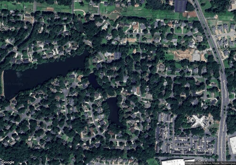
Map
Nearby Homes
- 3999 Tall Pine Dr
- 4039 Tall Pine Dr
- 4031 Oak Forest Cir
- 4255 Green Ridge Dr
- 1038 Seven Springs Cir
- 3825 Emerson St
- 1680 Bill Murdock Rd
- 718 Trevett Way
- 3792 Raccoon Run
- 1195 Fielding Way
- 1942 Hunters Bend Ct
- 4580 Roswell Rd
- 4030 Addie Ln Unit 5
- 2082 Kinsmon Dr
- 1164 Fairfield Dr
- 2237 Chadds Creek Dr
- 3495 Mill Bridge Dr Unit 2
- 0 Penhurst Dr Unit 7012907
- 0 Penhurst Dr Unit 8839158
- 0 Penhurst Dr Unit 8807174
- 0 Penhurst Dr Unit 8497066
- 0 Penhurst Dr Unit 8369051
- 0 Penhurst Dr Unit 7557962
- 0 Penhurst Dr Unit 8351407
- 0 Penhurst Dr Unit 8227375
- 0 Penhurst Dr Unit 7494667
- 4031 Penhurst Dr Unit 1
- 4188 Lake Rill Ct
- 4035 Penhurst Dr
- 4032 Penhurst Dr
- 4029 Penhurst Dr Unit 1B
- 4030 Penhurst Dr
- 1493 Old Hunters Lake Dr
- 4189 Lake Rill Ct Unit 2
- 4072 Penhurst Dr
- 4036 Penhurst Dr
- 4026 Penhurst Dr Unit 1