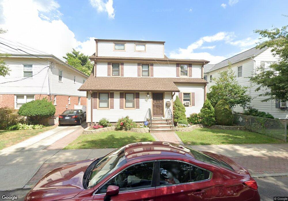
4037 195th St Flushing, NY 11358
Auburndale NeighborhoodEstimated Value: $1,110,292 - $1,464,000
--
Bed
--
Bath
1,408
Sq Ft
$880/Sq Ft
Est. Value
About This Home
This home is located at 4037 195th St, Flushing, NY 11358 and is currently estimated at $1,238,823, approximately $879 per square foot. 4037 195th St is a home located in Queens County with nearby schools including P.S. 31 - Bayside, I.S. 25 Adrien Block, and Francis Lewis High School.
Ownership History
Date
Name
Owned For
Owner Type
Purchase Details
Closed on
Aug 14, 2019
Sold by
Castro Daniel F and Castro Frank J
Bought by
Castro Daniel F and Castro Frank J
Current Estimated Value
Purchase Details
Closed on
Apr 9, 2014
Sold by
Castro Frank J and Castro Rose T
Bought by
Castro Daniel F and Castro Frank J
Home Financials for this Owner
Home Financials are based on the most recent Mortgage that was taken out on this home.
Original Mortgage
$533,500
Interest Rate
4.41%
Mortgage Type
Commercial
Create a Home Valuation Report for This Property
The Home Valuation Report is an in-depth analysis detailing your home's value as well as a comparison with similar homes in the area
Home Values in the Area
Average Home Value in this Area
Purchase History
| Date | Buyer | Sale Price | Title Company |
|---|---|---|---|
| Castro Daniel F | -- | -- | |
| Castro Daniel F | $380,000 | -- |
Source: Public Records
Mortgage History
| Date | Status | Borrower | Loan Amount |
|---|---|---|---|
| Previous Owner | Castro Daniel F | $533,500 |
Source: Public Records
Tax History Compared to Growth
Tax History
| Year | Tax Paid | Tax Assessment Tax Assessment Total Assessment is a certain percentage of the fair market value that is determined by local assessors to be the total taxable value of land and additions on the property. | Land | Improvement |
|---|---|---|---|---|
| 2025 | $9,762 | $52,073 | $15,109 | $36,964 |
| 2024 | $9,774 | $50,004 | $16,569 | $33,435 |
| 2023 | $9,194 | $47,174 | $13,795 | $33,379 |
| 2022 | $8,734 | $59,400 | $20,160 | $39,240 |
| 2021 | $9,214 | $52,740 | $20,160 | $32,580 |
| 2020 | $8,889 | $57,960 | $20,160 | $37,800 |
| 2019 | $8,424 | $59,220 | $20,160 | $39,060 |
| 2018 | $7,716 | $39,312 | $11,878 | $27,434 |
| 2017 | $7,376 | $37,656 | $14,493 | $23,163 |
| 2016 | $7,218 | $37,656 | $14,493 | $23,163 |
| 2015 | $4,065 | $36,162 | $17,655 | $18,507 |
| 2014 | $4,065 | $34,725 | $20,333 | $14,392 |
Source: Public Records
Map
Nearby Homes
- 40-38 194th St Unit A-1
- 4048 194th St Unit A3
- 194-23 Station Rd
- 42-32 196th St
- 196-19 42nd Rd
- 19112 Station Rd
- 191-08 Station Rd
- 195-31 39th Ave
- 191-22 39th Ave
- 190-17 42nd Ave
- 200-06 39th Ave
- 37-6 Francis Lewis Blvd
- 4014 191st St
- 37-08 Francis Lewis Blvd
- 37-02 Francis Lewis Blvd
- 4320 196th St
- 191-9 39th Ave Unit 164
- 43-28 196th St
- 191-09 39th Ave Unit Lower
- 36- 40 201st St Unit A, B, C
- 4033 195th St
- 4041 195th St
- 4029 195th St
- 40-29 195th St
- 40-29 195th St Unit 1st Fl
- 40-29 195th St Unit 2
- 4027 195th St
- 19507 42nd Ave
- 19503 42nd Ave
- 4038 196th St
- 4040 196th St
- 4040 196th St
- 4034 196th St
- 4044 196th St
- 19511 42nd Ave
- 40-34 196th St
- 195-07 42nd Ave
- 19507 42nd Ave Unit 1
- 19507 42nd Ave
- 195-07 42nd Ave Unit 1