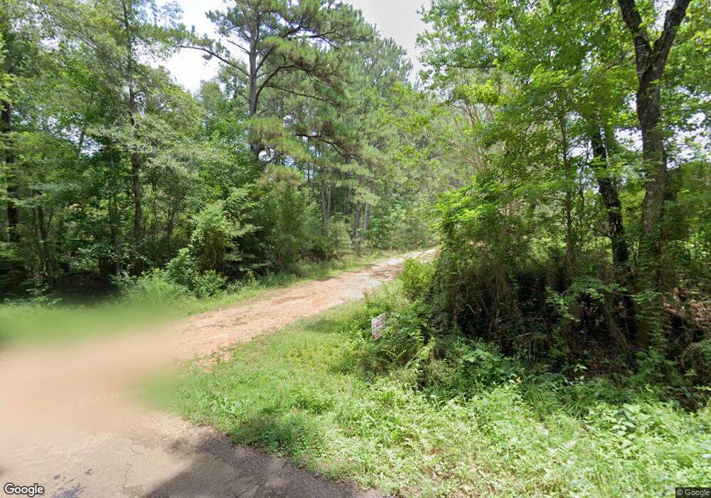
4038 Cole Thomas Rd McComb, MS 39648
Estimated Value: $67,658 - $173,000
3
Beds
1
Bath
1,302
Sq Ft
$94/Sq Ft
Est. Value
About This Home
This home is located at 4038 Cole Thomas Rd, McComb, MS 39648 and is currently estimated at $122,915, approximately $94 per square foot. 4038 Cole Thomas Rd is a home located in Pike County with nearby schools including Higgins Middle School, Otken Elementary School, and Denman Junior High School.
Ownership History
Date
Name
Owned For
Owner Type
Purchase Details
Closed on
Nov 5, 2013
Sold by
Budhiraja Joty
Bought by
Budhiraja Parveen K
Current Estimated Value
Purchase Details
Closed on
Dec 16, 2010
Sold by
Brister Tommy
Bought by
Budhiraja Parveen K
Home Financials for this Owner
Home Financials are based on the most recent Mortgage that was taken out on this home.
Original Mortgage
$45,472
Interest Rate
4.32%
Mortgage Type
Unknown
Create a Home Valuation Report for This Property
The Home Valuation Report is an in-depth analysis detailing your home's value as well as a comparison with similar homes in the area
Purchase History
| Date | Buyer | Sale Price | Title Company |
|---|---|---|---|
| Budhiraja Parveen K | -- | None Available | |
| Budhiraja Parveen K | -- | None Available |
Source: Public Records
Mortgage History
| Date | Status | Borrower | Loan Amount |
|---|---|---|---|
| Closed | Budhiraja Parveen K | $45,472 |
Source: Public Records
Tax History
| Year | Tax Paid | Tax Assessment Tax Assessment Total Assessment is a certain percentage of the fair market value that is determined by local assessors to be the total taxable value of land and additions on the property. | Land | Improvement |
|---|---|---|---|---|
| 2025 | $1,050 | $7,805 | $0 | $0 |
| 2024 | $917 | $6,777 | $0 | $0 |
| 2023 | $903 | $6,777 | $0 | $0 |
| 2022 | $886 | $6,777 | $0 | $0 |
| 2021 | $883 | $6,777 | $0 | $0 |
| 2020 | $862 | $6,617 | $0 | $0 |
| 2019 | $839 | $6,617 | $0 | $0 |
| 2018 | $827 | $6,617 | $0 | $0 |
| 2017 | $833 | $6,617 | $0 | $0 |
| 2016 | $818 | $6,587 | $0 | $0 |
| 2015 | $784 | $6,347 | $0 | $0 |
| 2014 | $784 | $6,348 | $0 | $0 |
| 2013 | -- | $6,337 | $0 | $0 |
Source: Public Records
Map
Nearby Homes
- 1086 Mississippi 570
- XXX Brewer Ln
- 0 Summit Holmesville Rd
- 1500 Robb St
- 0 Plum St
- 1306 Thomas St
- 1053 Johnston Station Rd
- 1011 Eastover Ln
- 1037 Boone Rd
- 311 Walnut St
- 1033 Spike Ln
- 1025 Clover Ln
- 1002 Avenue F None
- 1002 Avenue F
- 415 N Magnolia St
- 1019 Pearl River Avenue Extension
- 122 Denwiddie Ave
- 1021 Great Point Rd
- 1031 Pearl River Ave
- 133 N Live Oak St
- 1010 River Ridge Rd
- 4030 Cole Thomas Rd
- XXX Hwy 570 & River Ridge Rd
- 3034 Highway 570 E
- 1037 River Ridge Rd
- 1050 River Ridge Rd
- 3037 Hwy 570 E
- 2164 Hwy 570e
- 2165 Hwy 570e
- 1048 River Ridge Rd
- 1038 River Ridge Rd
- 1021 Firefly Ln
- 1052 River Ridge Rd
- 3059 Highway 570 E
- 0 Highway 570 Ea St
- 3059 Mississippi 570
- 1024 Sabrina Dr
- 1001 Cody Ln
- 1060 River Ridge Rd
- 1023 Firefly Ln
