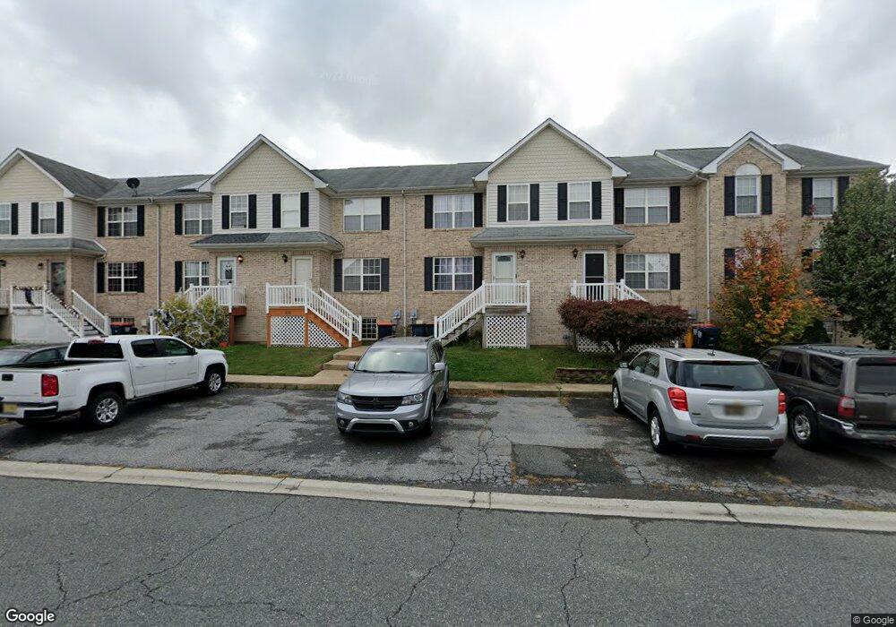
404 Champs Ln Middletown, DE 19709
Estimated Value: $294,000 - $312,534
3
Beds
2
Baths
1,424
Sq Ft
$214/Sq Ft
Est. Value
About This Home
This home is located at 404 Champs Ln, Middletown, DE 19709 and is currently estimated at $305,384, approximately $214 per square foot. 404 Champs Ln is a home located in New Castle County with nearby schools including Bunker Hill Elementary School, Everett Meredith Middle School, and Appoquinimink High School.
Ownership History
Date
Name
Owned For
Owner Type
Purchase Details
Closed on
Mar 9, 2007
Sold by
Bowser Samuel and Bowser Margaret L
Bought by
Bowser Samuel and Johnson Angela
Current Estimated Value
Purchase Details
Closed on
Aug 10, 2005
Sold by
Jones Leslie C M
Bought by
Bowser Samuel
Home Financials for this Owner
Home Financials are based on the most recent Mortgage that was taken out on this home.
Original Mortgage
$157,600
Outstanding Balance
$82,150
Interest Rate
5.54%
Mortgage Type
Fannie Mae Freddie Mac
Estimated Equity
$223,234
Purchase Details
Closed on
Aug 25, 2003
Sold by
Lenape Homes Inc
Bought by
Jones Leslie C M
Home Financials for this Owner
Home Financials are based on the most recent Mortgage that was taken out on this home.
Original Mortgage
$134,671
Interest Rate
6.02%
Mortgage Type
FHA
Create a Home Valuation Report for This Property
The Home Valuation Report is an in-depth analysis detailing your home's value as well as a comparison with similar homes in the area
Home Values in the Area
Average Home Value in this Area
Purchase History
| Date | Buyer | Sale Price | Title Company |
|---|---|---|---|
| Bowser Samuel | -- | None Available | |
| Bowser Samuel | $197,000 | -- | |
| Jones Leslie C M | $139,665 | -- |
Source: Public Records
Mortgage History
| Date | Status | Borrower | Loan Amount |
|---|---|---|---|
| Open | Bowser Samuel | $157,600 | |
| Previous Owner | Jones Leslie C M | $134,671 |
Source: Public Records
Tax History Compared to Growth
Tax History
| Year | Tax Paid | Tax Assessment Tax Assessment Total Assessment is a certain percentage of the fair market value that is determined by local assessors to be the total taxable value of land and additions on the property. | Land | Improvement |
|---|---|---|---|---|
| 2024 | $160 | $53,300 | $3,300 | $50,000 |
| 2023 | $160 | $53,300 | $3,300 | $50,000 |
| 2022 | $1,639 | $53,300 | $3,300 | $50,000 |
| 2021 | $1,611 | $53,300 | $3,300 | $50,000 |
| 2020 | $7 | $53,300 | $3,300 | $50,000 |
| 2019 | $1,619 | $53,300 | $3,300 | $50,000 |
| 2018 | $1,397 | $53,000 | $3,300 | $49,700 |
| 2017 | $159 | $53,000 | $3,300 | $49,700 |
| 2016 | $1,367 | $53,000 | $3,300 | $49,700 |
| 2015 | $1,327 | $53,000 | $3,300 | $49,700 |
| 2014 | $1,324 | $53,000 | $3,300 | $49,700 |
Source: Public Records
Map
Nearby Homes
- 722 Marian Dr
- 286 Vincent Cir
- 306 E Harvest Ln
- 107 Gazebo Ln
- 908 Jennifer Ln
- 149 Gazebo Ln
- 84 Franklin Dr
- 102 Springmill Dr
- 111 Anderson St
- 533 Janvier Dr
- 561 Whispering Trail
- 12 E Cochran St
- 56 Springmill Dr
- 8 Redding Cir
- 701 S Broad St
- 232 E Main St
- Serenade Plan at Crossings at Silver Lake
- 236 E Main St
- 13 Brady Cir
- 811 S Cass St