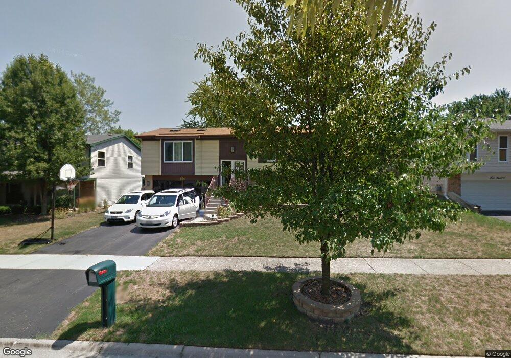
404 King Arthur Ct Bolingbrook, IL 60440
East Bolingbrook NeighborhoodEstimated Value: $322,000 - $373,000
3
Beds
1
Bath
1,909
Sq Ft
$182/Sq Ft
Est. Value
About This Home
This home is located at 404 King Arthur Ct, Bolingbrook, IL 60440 and is currently estimated at $347,945, approximately $182 per square foot. 404 King Arthur Ct is a home located in Will County with nearby schools including Jonas E Salk Elementary School, Hubert H Humphrey Middle School, and Bolingbrook High School.
Ownership History
Date
Name
Owned For
Owner Type
Purchase Details
Closed on
Jul 12, 2001
Sold by
Austin Alvin F and Austin Diane L
Bought by
Elmore Gregory and Elmore Judith C
Current Estimated Value
Home Financials for this Owner
Home Financials are based on the most recent Mortgage that was taken out on this home.
Original Mortgage
$129,650
Outstanding Balance
$50,254
Interest Rate
7.22%
Estimated Equity
$297,691
Create a Home Valuation Report for This Property
The Home Valuation Report is an in-depth analysis detailing your home's value as well as a comparison with similar homes in the area
Home Values in the Area
Average Home Value in this Area
Purchase History
| Date | Buyer | Sale Price | Title Company |
|---|---|---|---|
| Elmore Gregory | $136,500 | First American Title |
Source: Public Records
Mortgage History
| Date | Status | Borrower | Loan Amount |
|---|---|---|---|
| Open | Elmore Gregory | $129,650 |
Source: Public Records
Tax History
| Year | Tax Paid | Tax Assessment Tax Assessment Total Assessment is a certain percentage of the fair market value that is determined by local assessors to be the total taxable value of land and additions on the property. | Land | Improvement |
|---|---|---|---|---|
| 2024 | $7,861 | $93,112 | $20,174 | $72,938 |
| 2023 | $7,861 | $83,779 | $18,152 | $65,627 |
| 2022 | $6,873 | $75,531 | $16,365 | $59,166 |
| 2021 | $6,506 | $70,623 | $15,302 | $55,321 |
| 2020 | $6,302 | $68,301 | $14,799 | $53,502 |
| 2019 | $6,092 | $65,048 | $14,094 | $50,954 |
| 2018 | $5,593 | $59,847 | $12,967 | $46,880 |
| 2017 | $5,317 | $56,727 | $12,291 | $44,436 |
| 2016 | $5,155 | $54,000 | $11,700 | $42,300 |
| 2015 | $4,406 | $50,300 | $10,900 | $39,400 |
| 2014 | $4,406 | $45,700 | $9,900 | $35,800 |
| 2013 | $4,406 | $45,700 | $9,900 | $35,800 |
Source: Public Records
Map
Nearby Homes
- 526 King Arthur Way
- 473 Rockhurst Rd
- 404 Galahad Rd
- 317 Homestead Dr
- 428 N Ashbury Ave
- 320 Homestead Dr
- 157 Vernon Dr Unit 6
- 409 N Ashbury Ave
- 207 Seabury Rd
- 220 N Ashbury Ave
- 598 Miner Dr
- 564 White Oak Rd
- 124 Seabury Rd
- 325 Rockhurst Rd
- 271 Stonegate Rd
- 505 Goodwin Dr
- 547 Goodwin Dr
- 244 Stonegate Rd
- 519 Charlestown Dr
- 417 Monet Cir
- 408 King Arthur Ct
- 400 King Arthur Ct
- 405 Sword Way
- 409 Sword Way
- 401 Sword Way
- 370 King Arthur Ct
- 533 King Arthur Way
- 369 Sword Way
- 537 King Arthur Way
- 401 King Arthur Ct
- 409 King Arthur Ct
- 366 King Arthur Ct
- 369 King Arthur Ct
- 525 King Arthur Way
- 365 Sword Way
- 364 Tarrington Way
- 365 King Arthur Ct
- 404 Sword Way
- 400 Sword Way
- 362 King Arthur Ct
Your Personal Tour Guide
Ask me questions while you tour the home.