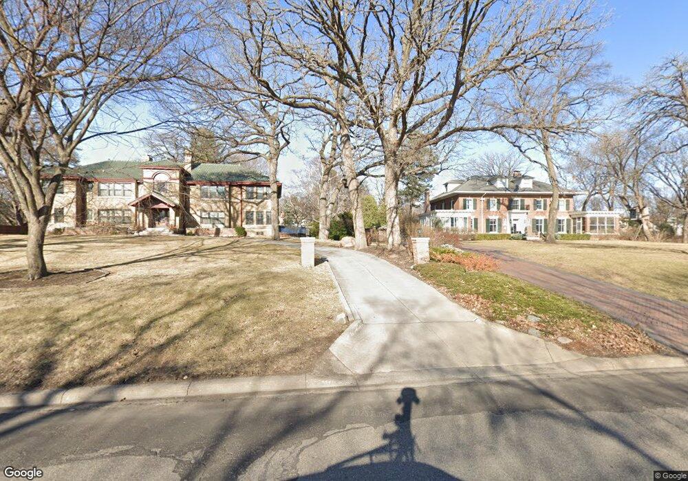
404 Mississippi River Blvd N Unit 2 Saint Paul, MN 55104
Union Park NeighborhoodEstimated Value: $677,000 - $847,000
4
Beds
3
Baths
2,306
Sq Ft
$330/Sq Ft
Est. Value
About This Home
This home is located at 404 Mississippi River Blvd N Unit 2, Saint Paul, MN 55104 and is currently estimated at $760,388, approximately $329 per square foot. 404 Mississippi River Blvd N Unit 2 is a home located in Ramsey County with nearby schools including Groveland Park Elementary School, Hidden River Middle School, and Central Senior High School.
Ownership History
Date
Name
Owned For
Owner Type
Purchase Details
Closed on
Apr 27, 2017
Sold by
Wolf John H and Wolf Jean K
Bought by
Zabel Robert H and Zabel Mary Kay
Current Estimated Value
Home Financials for this Owner
Home Financials are based on the most recent Mortgage that was taken out on this home.
Original Mortgage
$200,000
Outstanding Balance
$165,728
Interest Rate
3.97%
Mortgage Type
New Conventional
Estimated Equity
$594,660
Purchase Details
Closed on
Apr 21, 1997
Sold by
Read Bookie
Bought by
Wolf Jean K
Create a Home Valuation Report for This Property
The Home Valuation Report is an in-depth analysis detailing your home's value as well as a comparison with similar homes in the area
Home Values in the Area
Average Home Value in this Area
Purchase History
| Date | Buyer | Sale Price | Title Company |
|---|---|---|---|
| Zabel Robert H | $618,181 | None Available | |
| Wolf Jean K | $272,000 | -- |
Source: Public Records
Mortgage History
| Date | Status | Borrower | Loan Amount |
|---|---|---|---|
| Open | Zabel Robert H | $200,000 |
Source: Public Records
Tax History Compared to Growth
Tax History
| Year | Tax Paid | Tax Assessment Tax Assessment Total Assessment is a certain percentage of the fair market value that is determined by local assessors to be the total taxable value of land and additions on the property. | Land | Improvement |
|---|---|---|---|---|
| 2025 | $11,230 | $710,300 | $1,000 | $709,300 |
| 2023 | $11,230 | $692,000 | $1,000 | $691,000 |
| 2022 | $11,050 | $678,500 | $1,000 | $677,500 |
| 2021 | $9,910 | $652,600 | $1,000 | $651,600 |
| 2020 | $10,442 | $613,000 | $1,000 | $612,000 |
| 2019 | $10,268 | $601,500 | $1,000 | $600,500 |
| 2018 | $8,470 | $586,900 | $1,000 | $585,900 |
| 2017 | $5,624 | $511,100 | $1,000 | $510,100 |
| 2016 | $5,806 | $0 | $0 | $0 |
| 2015 | $5,548 | $354,400 | $35,400 | $319,000 |
| 2014 | $5,078 | $0 | $0 | $0 |
Source: Public Records
Map
Nearby Homes
- 572 Desnoyer Ave
- 563 Eustis St
- 515 Raymond Ave
- 583 Cromwell Ave
- 606 Cromwell Ave
- 3112 45th Ave S
- 2156 Saint Anthony Ave
- 2616 40th Ave S
- 110 Mississippi River Blvd N
- 2181 Dayton Ave
- 104 Mississippi River Blvd N
- 98 Mississippi River Blvd N - Lot
- 2150 Marshall Ave
- 3011 40th Ave S
- 215 Warwick St SE
- 1909 E River Pkwy
- 2098 Marshall Ave
- 2103 Dayton Ave
- 2096 Dayton Ave
- 2565 Franklin Ave Unit 313
- 404 Miss Rv Blvd N Unit 3
- 404 Miss Rv Blvd N Unit 2
- 404 Miss Rv Blvd N Unit 1
- 463 Otis Ave
- 455 Otis Ave
- 445 Otis Ave
- 445 445 Otis Ave
- 420 Mississippi River Blvd N
- 485 Otis Ave
- 430 Mississippi River Blvd N
- 491 Otis Ave
- 458 Otis Ave
- 462 Otis Ave
- 452 Otis Ave
- 378 Mississippi River Blvd N
- 444 Otis Ave
- 472 Otis Ave
- 497 Otis Ave
- 480 Otis Ave
- 448 Mississippi River Blvd N