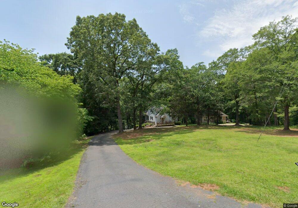
404 Rowland Rd Anderson, SC 29625
Estimated Value: $302,000 - $470,000
3
Beds
2
Baths
1,076
Sq Ft
$364/Sq Ft
Est. Value
About This Home
This home is located at 404 Rowland Rd, Anderson, SC 29625 and is currently estimated at $391,905, approximately $364 per square foot. 404 Rowland Rd is a home located in Anderson County with nearby schools including Pendleton High School.
Ownership History
Date
Name
Owned For
Owner Type
Purchase Details
Closed on
Feb 8, 2024
Sold by
Spencer Douglas E
Bought by
Spencer Family Trust and Spencer
Current Estimated Value
Purchase Details
Closed on
Apr 26, 2011
Sold by
Spencer William M
Bought by
Spencer William M and The William Spencer Trust
Purchase Details
Closed on
Dec 15, 2010
Sold by
Byce T Bruce
Bought by
Spencer William M
Home Financials for this Owner
Home Financials are based on the most recent Mortgage that was taken out on this home.
Original Mortgage
$151,200
Interest Rate
4.32%
Mortgage Type
New Conventional
Purchase Details
Closed on
Jun 8, 2006
Sold by
Humphreys Susan L
Bought by
Byce T Bruce
Home Financials for this Owner
Home Financials are based on the most recent Mortgage that was taken out on this home.
Original Mortgage
$136,000
Interest Rate
6.49%
Mortgage Type
Future Advance Clause Open End Mortgage
Create a Home Valuation Report for This Property
The Home Valuation Report is an in-depth analysis detailing your home's value as well as a comparison with similar homes in the area
Home Values in the Area
Average Home Value in this Area
Purchase History
| Date | Buyer | Sale Price | Title Company |
|---|---|---|---|
| Spencer Family Trust | -- | None Listed On Document | |
| Spencer William M | $189,000 | -- | |
| Spencer William M | $189,000 | -- | |
| Byce T Bruce | $116,000 | None Available |
Source: Public Records
Mortgage History
| Date | Status | Borrower | Loan Amount |
|---|---|---|---|
| Previous Owner | Spencer William M | $151,200 | |
| Previous Owner | Byce T Bruce | $136,000 |
Source: Public Records
Tax History Compared to Growth
Tax History
| Year | Tax Paid | Tax Assessment Tax Assessment Total Assessment is a certain percentage of the fair market value that is determined by local assessors to be the total taxable value of land and additions on the property. | Land | Improvement |
|---|---|---|---|---|
| 2024 | $6,668 | $19,790 | $7,050 | $12,740 |
| 2023 | $6,668 | $10,930 | $5,540 | $5,390 |
| 2022 | $3,505 | $10,930 | $5,540 | $5,390 |
| 2021 | $3,369 | $10,040 | $5,400 | $4,640 |
| 2020 | $3,348 | $10,040 | $5,400 | $4,640 |
| 2019 | $3,348 | $10,040 | $5,400 | $4,640 |
| 2018 | $659 | $6,690 | $3,600 | $3,090 |
| 2017 | -- | $6,690 | $3,600 | $3,090 |
| 2016 | $711 | $7,080 | $3,560 | $3,520 |
| 2015 | $717 | $7,080 | $3,560 | $3,520 |
| 2014 | $742 | $7,080 | $3,560 | $3,520 |
Source: Public Records
Map
Nearby Homes
- 201 Shore Dr
- 3310 Centerville Rd
- 114 Ann Rd
- 2152 Deloach Dr
- 115 Woods Way
- 1103 Burns Bridge Rd
- 2001 Burns Bridge Rd
- 4615 Pine Needle Cir
- 4638 Pine Needle Cir
- 5924 S Carolina 187
- 108 Grindstone Way
- 1304 Old Denver School Rd
- 1308 Old Denver School Rd
- 220 Oak Shores Rd
- 115 Woodshore Dr
- 1130 Cartee Rd
- 1011 Shadow Ln
- 106 Hurst Ave
- 04 Gibson Rd
- 03 Gibson Rd