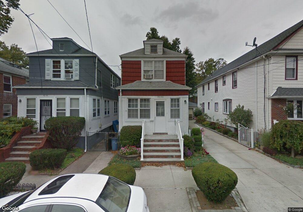
4042 193rd St Flushing, NY 11358
Auburndale NeighborhoodEstimated Value: $887,608 - $994,000
Studio
--
Bath
1,392
Sq Ft
$689/Sq Ft
Est. Value
About This Home
This home is located at 4042 193rd St, Flushing, NY 11358 and is currently estimated at $959,402, approximately $689 per square foot. 4042 193rd St is a home located in Queens County with nearby schools including P.S. 31 - Bayside, I.S. 25 Adrien Block, and Francis Lewis High School.
Ownership History
Date
Name
Owned For
Owner Type
Purchase Details
Closed on
Oct 25, 1996
Sold by
Orozovich Robert J and Orozovich Patricia R
Bought by
Alsheimer Thomas G and Alsheimer Sharon
Current Estimated Value
Home Financials for this Owner
Home Financials are based on the most recent Mortgage that was taken out on this home.
Original Mortgage
$134,000
Interest Rate
7.62%
Create a Home Valuation Report for This Property
The Home Valuation Report is an in-depth analysis detailing your home's value as well as a comparison with similar homes in the area
Home Values in the Area
Average Home Value in this Area
Purchase History
| Date | Buyer | Sale Price | Title Company |
|---|---|---|---|
| Alsheimer Thomas G | $169,000 | Commonwealth Land Title Ins |
Source: Public Records
Mortgage History
| Date | Status | Borrower | Loan Amount |
|---|---|---|---|
| Previous Owner | Alsheimer Thomas G | $134,000 |
Source: Public Records
Tax History
| Year | Tax Paid | Tax Assessment Tax Assessment Total Assessment is a certain percentage of the fair market value that is determined by local assessors to be the total taxable value of land and additions on the property. | Land | Improvement |
|---|---|---|---|---|
| 2025 | $6,923 | $37,118 | $9,658 | $27,460 |
| 2024 | $6,935 | $35,868 | $10,386 | $25,482 |
| 2023 | $6,516 | $33,840 | $9,385 | $24,455 |
| 2022 | $6,190 | $50,880 | $14,160 | $36,720 |
| 2021 | $6,218 | $51,720 | $14,160 | $37,560 |
| 2020 | $6,251 | $56,880 | $14,160 | $42,720 |
| 2019 | $5,960 | $54,900 | $14,160 | $40,740 |
| 2018 | $5,451 | $28,200 | $7,703 | $20,497 |
| 2017 | $5,212 | $27,038 | $9,712 | $17,326 |
| 2016 | $4,847 | $27,038 | $9,712 | $17,326 |
| 2015 | $2,857 | $25,777 | $9,593 | $16,184 |
| 2014 | $2,857 | $24,909 | $11,118 | $13,791 |
Source: Public Records
Map
Nearby Homes
- 40-38 194th St Unit 1A
- 4038 194th St Unit 3B
- 4048 194th St Unit A3
- 19112 Station Rd
- 4032 195th St
- 190-17 42nd Ave
- 193-02 39th Ave Unit 1
- 194-23 Station Rd
- 191-02 39th Ave
- 191-9 39th Ave Unit 164
- 190-05 39th Ave Unit 142
- 42-25 189th St
- 195-33 39th Ave
- 189-23 39th Ave Unit 122
- 42-28 189th St
- 195-31 39th Ave
- 36-20 190th St
- 3617 194th St
- 37-6 Francis Lewis Blvd
- 37-02 Francis Lewis Blvd
- 4044 193rd St
- 4046 193rd St Unit 3
- 4046 193rd St Unit 2
- 4046 193rd St Unit 3
- 4038 193rd St
- 19207 42nd Ave
- 4048 193rd St
- 4048 193rd St Unit 5
- 4048 193rd St
- 4041 192nd St Unit B03
- 4034 193rd St
- 40-34 193rd St Unit 2
- 40-34 193rd St Unit 1
- 19211 42nd Ave
- 19211 42nd Ave Unit 3
- 19211 42nd Ave Unit 3
- 19207 42nd Ave Unit 4
- 4032 193rd St
- 40-31 192nd St Unit G03
- 4045 193rd St
Your Personal Tour Guide
Ask me questions while you tour the home.