Estimated Value: $732,000 - $1,140,603
4
Beds
5
Baths
4,346
Sq Ft
$219/Sq Ft
Est. Value
About This Home
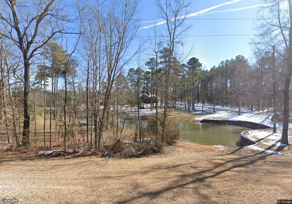
This home is located at 4044 Range Rd, Stem, NC 27581 and is currently estimated at $951,534, approximately $218 per square foot. 4044 Range Rd is a home located in Granville County with nearby schools including West Oxford Elementary School, Butner-Stem Middle School, and Granville Central High School.
Ownership History
Date
Name
Owned For
Owner Type
Purchase Details
Closed on
Mar 16, 2009
Sold by
Nelms Michael L and Nelms Brenda Sprouse
Bought by
Nelms Michael L and Nelms Brenda Sprouse
Current Estimated Value
Home Financials for this Owner
Home Financials are based on the most recent Mortgage that was taken out on this home.
Original Mortgage
$222,500
Outstanding Balance
$142,676
Interest Rate
5.29%
Mortgage Type
New Conventional
Estimated Equity
$808,858
Create a Home Valuation Report for This Property
The Home Valuation Report is an in-depth analysis detailing your home's value as well as a comparison with similar homes in the area
Purchase History
| Date | Buyer | Sale Price | Title Company |
|---|---|---|---|
| Nelms Michael L | -- | -- |
Source: Public Records
Mortgage History
| Date | Status | Borrower | Loan Amount |
|---|---|---|---|
| Open | Nelms Michael L | $222,500 |
Source: Public Records
Tax History
| Year | Tax Paid | Tax Assessment Tax Assessment Total Assessment is a certain percentage of the fair market value that is determined by local assessors to be the total taxable value of land and additions on the property. | Land | Improvement |
|---|---|---|---|---|
| 2025 | $6,589 | $948,506 | $132,586 | $815,920 |
| 2024 | $6,589 | $996,124 | $132,586 | $863,538 |
| 2023 | $6,908 | $627,130 | $74,767 | $552,363 |
| 2022 | $5,743 | $627,130 | $74,767 | $552,363 |
| 2021 | $5,362 | $627,130 | $74,767 | $552,363 |
| 2020 | $5,362 | $627,130 | $74,767 | $552,363 |
| 2019 | $5,362 | $627,130 | $74,767 | $552,363 |
| 2018 | $5,362 | $627,130 | $74,767 | $552,363 |
| 2016 | $5,226 | $583,146 | $77,894 | $505,252 |
| 2015 | $4,929 | $583,146 | $77,894 | $505,252 |
| 2014 | $4,929 | $583,146 | $77,894 | $505,252 |
| 2013 | -- | $583,146 | $77,894 | $505,252 |
Source: Public Records
Map
Nearby Homes
- 1664 Garrett Farm Rd
- 1652 Garrett Farm Rd
- 1658 Garrett Farm Rd
- 1190 Little Mountain Rd
- 211 Old North Carolina 75
- 207 Old North Carolina 75
- 103 Averly Ct
- 3538 Saddle Ridge Rd
- 4551 Sugar Maple Rd
- 1086 Roberts Chapel Rd
- 3569 Jacobs Rd
- 1037 Sunshine Cir
- Lot 11 Poppy Mallow Ln
- 3555 Deerfield Rd
- 4459 Poppy Mallow Ln
- Lot 17 Crown Oaks Dr
- 113 Ross Dr
- 109 Ross Dr
- 111 Ross Dr
- 110 Ross Dr
- 4013 Range Rd Unit 1
- 4013 Range Rd
- 1218 Tunstall Trail
- 1206 Tunstall Trail
- 4065 Range Rd
- 4070 Range Rd
- 1215 Tunstall Trail
- 4077 Range Rd
- 4082 Range Rd
- 1192 Tunstall Trail
- 4009 Range Rd Unit 2
- 4009 Range Rd
- 1170 Rocky Top Dr
- 4005 Range Rd
- 4005 Range Rd Unit 3
- 4092 Range Rd
- 4093 Range Rd
- Lot 8B Tunstall Trail
- lot 10 Tunstall Trail
- Lot#4 Tunstall Trail
Your Personal Tour Guide
Ask me questions while you tour the home.