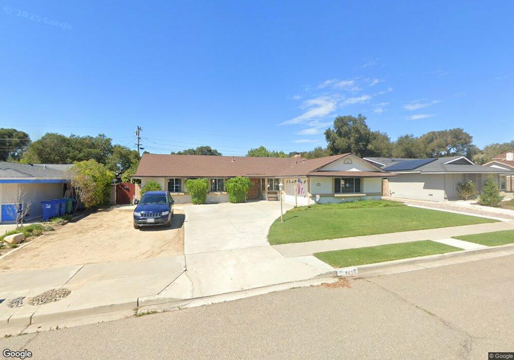
4048 Muirfield Place Unit 1 Lompoc, CA 93436
Estimated Value: $645,000 - $755,000
4
Beds
2
Baths
1,680
Sq Ft
$416/Sq Ft
Est. Value
About This Home
This home is located at 4048 Muirfield Place Unit 1, Lompoc, CA 93436 and is currently estimated at $698,149, approximately $415 per square foot. 4048 Muirfield Place Unit 1 is a home located in Santa Barbara County with nearby schools including Buena Vista Elementary School, Cabrillo High School, and Olive Grove Charter - Lompoc.
Ownership History
Date
Name
Owned For
Owner Type
Purchase Details
Closed on
May 6, 1998
Sold by
Smith William P and Smith Elona D
Bought by
Smith William Patrick and Smith Elona D J
Current Estimated Value
Purchase Details
Closed on
Aug 7, 1995
Sold by
Larsson Barbara G and Larsson John Harold
Bought by
Smith William P and Smith Elona D J
Home Financials for this Owner
Home Financials are based on the most recent Mortgage that was taken out on this home.
Original Mortgage
$156,750
Interest Rate
7.63%
Create a Home Valuation Report for This Property
The Home Valuation Report is an in-depth analysis detailing your home's value as well as a comparison with similar homes in the area
Home Values in the Area
Average Home Value in this Area
Purchase History
| Date | Buyer | Sale Price | Title Company |
|---|---|---|---|
| Smith William Patrick | -- | -- | |
| Smith William P | $165,000 | First American Title |
Source: Public Records
Mortgage History
| Date | Status | Borrower | Loan Amount |
|---|---|---|---|
| Closed | Smith William P | $156,750 |
Source: Public Records
Tax History
| Year | Tax Paid | Tax Assessment Tax Assessment Total Assessment is a certain percentage of the fair market value that is determined by local assessors to be the total taxable value of land and additions on the property. | Land | Improvement |
|---|---|---|---|---|
| 2025 | $3,323 | $274,081 | $132,886 | $141,195 |
| 2023 | $3,323 | $263,440 | $127,727 | $135,713 |
| 2022 | $3,195 | $258,275 | $125,223 | $133,052 |
| 2021 | $3,226 | $253,212 | $122,768 | $130,444 |
| 2020 | $3,195 | $250,617 | $121,510 | $129,107 |
| 2019 | $3,147 | $245,704 | $119,128 | $126,576 |
| 2018 | $3,103 | $240,888 | $116,793 | $124,095 |
| 2017 | $2,962 | $236,165 | $114,503 | $121,662 |
| 2016 | $2,641 | $231,535 | $112,258 | $119,277 |
| 2014 | $2,582 | $223,592 | $108,407 | $115,185 |
Source: Public Records
Map
Nearby Homes
- 4166 Oakwood Ct
- 250 Saint Andrews Way
- 4173 Oakwood Ct
- 384 Falcon Crest Dr
- 649 Burning Tree Way
- 372 Falcon Crest Dr
- 372 Oak Hill Dr
- 73 Stanford Cir
- 6 Stanford Cir
- 0 Oak Hill Dr Unit 24-783
- 18 Galaxy Way
- 113 Gemini Ave
- 4473 Greenbrier Rd
- 240 Oak Hill Dr
- 4447 Falcon Dr
- 3939 Mesa Circle Dr
- 3916 Mesa Circle Dr Unit A
- 3825 Saturn Ave Unit 1
- 549 Palomar Cir
- 3843 Cassini Cir Unit 3
Your Personal Tour Guide
Ask me questions while you tour the home.