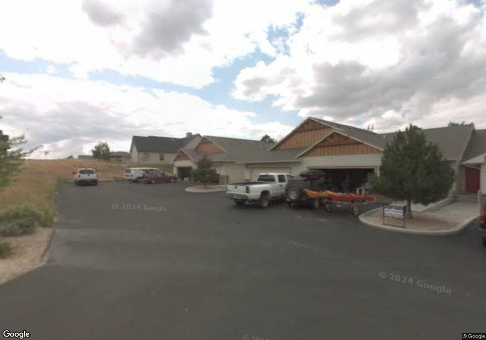
4048 Rifle Creek Trail Billings, MT 59106
Estimated Value: $359,000 - $410,000
2
Beds
3
Baths
952
Sq Ft
$404/Sq Ft
Est. Value
About This Home
This home is located at 4048 Rifle Creek Trail, Billings, MT 59106 and is currently estimated at $384,357, approximately $403 per square foot. 4048 Rifle Creek Trail is a home located in Yellowstone County with nearby schools including Alkali Creek School, Castle Rock Junior High School, and Skyview High School.
Ownership History
Date
Name
Owned For
Owner Type
Purchase Details
Closed on
May 13, 2024
Sold by
Hanson Larry and Joyner Tammy
Bought by
Hanson Larry
Current Estimated Value
Purchase Details
Closed on
Jul 7, 2020
Sold by
Hanson Larry
Bought by
Hanson Larry and Joyner Tammy
Purchase Details
Closed on
Mar 24, 2008
Sold by
Beatty Michael R and Beatty Kim D
Bought by
Parker Linda S
Home Financials for this Owner
Home Financials are based on the most recent Mortgage that was taken out on this home.
Original Mortgage
$159,920
Interest Rate
5.65%
Mortgage Type
Purchase Money Mortgage
Purchase Details
Closed on
Sep 1, 2005
Sold by
Richter Timothy J and Richter Josiana
Bought by
Beatty Michael R and Beatty Kim D
Home Financials for this Owner
Home Financials are based on the most recent Mortgage that was taken out on this home.
Original Mortgage
$146,320
Interest Rate
5.64%
Mortgage Type
New Conventional
Create a Home Valuation Report for This Property
The Home Valuation Report is an in-depth analysis detailing your home's value as well as a comparison with similar homes in the area
Home Values in the Area
Average Home Value in this Area
Purchase History
| Date | Buyer | Sale Price | Title Company |
|---|---|---|---|
| Hanson Larry | -- | First Montana Title | |
| Hanson Larry | -- | None Available | |
| Parker Linda S | -- | St | |
| Beatty Michael R | -- | None Available |
Source: Public Records
Mortgage History
| Date | Status | Borrower | Loan Amount |
|---|---|---|---|
| Previous Owner | Parker Linda S | $159,920 | |
| Previous Owner | Beatty Michael R | $146,320 |
Source: Public Records
Tax History Compared to Growth
Tax History
| Year | Tax Paid | Tax Assessment Tax Assessment Total Assessment is a certain percentage of the fair market value that is determined by local assessors to be the total taxable value of land and additions on the property. | Land | Improvement |
|---|---|---|---|---|
| 2025 | $3,025 | $357,500 | $44,344 | $313,156 |
| 2024 | $3,025 | $313,800 | $30,188 | $283,612 |
| 2023 | $3,022 | $313,800 | $30,188 | $283,612 |
| 2022 | $2,421 | $219,000 | $0 | $0 |
| 2021 | $2,314 | $219,000 | $0 | $0 |
| 2020 | $2,433 | $221,000 | $0 | $0 |
| 2019 | $2,323 | $221,000 | $0 | $0 |
| 2018 | $2,192 | $203,900 | $0 | $0 |
| 2017 | $1,887 | $203,900 | $0 | $0 |
| 2016 | $1,918 | $187,100 | $0 | $0 |
| 2015 | $1,914 | $187,100 | $0 | $0 |
| 2014 | $2,001 | $104,940 | $0 | $0 |
Source: Public Records
Map
Nearby Homes
- 4149 Iron Horse Trail
- 3131 Iron Horse Trail Unit 21
- 4547 Grams Ct
- 3311 Harlou Dr
- 3106 Forsythia Blvd
- 3135 Sycamore Ln
- 3540 Masterson Cir
- 3441 Masterson Cir
- 2815 Palm Dr
- 3065 Gregory Dr W
- 2736 Palm Dr
- 2748 Palm Dr
- 3450 Masterson Cir
- 3323 Reimers Park Dr
- 3005 Edmond St
- 2800 Gregory Dr S
- 3313 Rimrock Rd
- 3322 37th St W
- 2830 Arrowhead Meadows Dr
- 2911 E Macdonald Dr
- 4048 Rifle Creek Trail
- 4048 Rifle Creek Trail
- 4048 Rifle Creek Trail
- 4048 Rifle Creek Trail
- 4048 Rifle Creek Trail
- 4048 Rifle Creek Trail
- 4048 Rifle Creek Trail
- 4048 Rifle Creek Trail
- 4048 Rifle Creek Trail
- 4048 Rifle Creek Trail
- 4048 Rifle Creek Trail
- 4048 Rifle Creek Trail
- 4048 Rifle Creek Trail Unit 10
- 4048 Rifle Creek Trail Unit 9
- 4048 Rifle Creek Trail Unit 2
- 4048 Rifle Creek Trail Unit 6
- 4048 Rifle Creek Trail Unit 3
- 4048 Rifle Creek Trail Unit 7
- 4076 Rifle Creek Trail
- 4067 Rifle Creek Trail