Estimated Value: $216,000 - $323,000
3
Beds
2
Baths
936
Sq Ft
$272/Sq Ft
Est. Value
About This Home
This home is located at 40484 Bucksnort Dr, Emily, MN 56447 and is currently estimated at $254,214, approximately $271 per square foot. 40484 Bucksnort Dr is a home located in Crow Wing County with nearby schools including Cuyuna Range Elementary School, Crosby-Ironton Secondary School, and Cornerstone Christian School.
Ownership History
Date
Name
Owned For
Owner Type
Purchase Details
Closed on
Sep 1, 2011
Bought by
Waller Ii James A and Waller Cheri
Current Estimated Value
Purchase Details
Closed on
Jul 1, 2004
Sold by
Martz Jeffrey and Martz Debby
Bought by
Martz Shayne
Purchase Details
Closed on
Aug 1, 2002
Sold by
Stacy Roger
Bought by
Martz Jeffrey and Martz Debby
Create a Home Valuation Report for This Property
The Home Valuation Report is an in-depth analysis detailing your home's value as well as a comparison with similar homes in the area
Home Values in the Area
Average Home Value in this Area
Purchase History
| Date | Buyer | Sale Price | Title Company |
|---|---|---|---|
| Waller Ii James A | $61,200 | -- | |
| Martz Shayne | $119,000 | -- | |
| Martz Jeffrey | $15,000 | -- |
Source: Public Records
Tax History Compared to Growth
Tax History
| Year | Tax Paid | Tax Assessment Tax Assessment Total Assessment is a certain percentage of the fair market value that is determined by local assessors to be the total taxable value of land and additions on the property. | Land | Improvement |
|---|---|---|---|---|
| 2025 | $574 | $219,900 | $57,400 | $162,500 |
| 2024 | $574 | $185,600 | $53,200 | $132,400 |
| 2023 | $968 | $180,700 | $50,500 | $130,200 |
| 2022 | $628 | $191,000 | $37,300 | $153,700 |
| 2021 | $706 | $120,800 | $32,700 | $88,100 |
| 2020 | $716 | $127,700 | $34,900 | $92,800 |
| 2019 | $574 | $126,400 | $33,600 | $92,800 |
| 2018 | $506 | $109,100 | $32,800 | $76,300 |
| 2017 | $456 | $75,357 | $23,928 | $51,429 |
| 2016 | $614 | $87,800 | $27,200 | $60,600 |
| 2015 | $534 | $75,000 | $22,000 | $53,000 |
| 2014 | $253 | $75,800 | $22,100 | $53,700 |
Source: Public Records
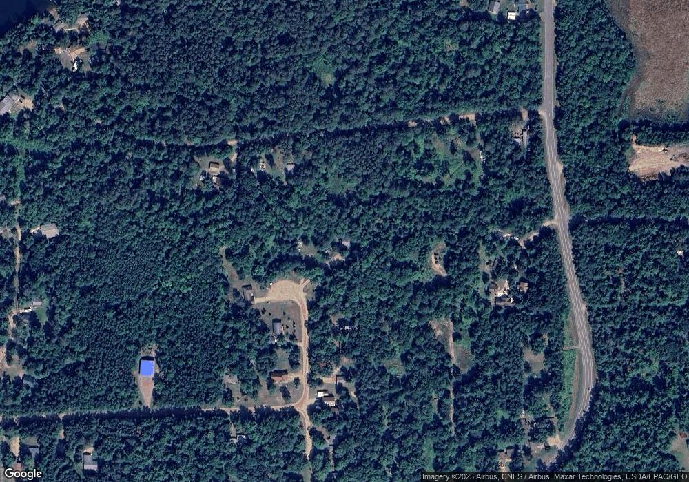
Map
Nearby Homes
- TBD Deshayes Dr
- 22311 Shadow Point
- 40730 S Bay Dr
- TBD S Shore Dr
- Tract A County Road 1
- Tract B County Road 1
- 22910 S Shore Dr
- 23280 S Shore Dr
- TBD Mulligan Dr
- 39812 Par Dr W
- TBD Lot 1 & Lot 2 Pa Par Dr W
- 39918 Par Dr W
- 23504 County Road 1
- 44150 Minnesota 6
- 24863 Pine Place
- 39437 County Road 3
- 17541 N Mitchell Lake Rd
- 235 Minnesota 6
- 5465 Woods Bay Dr NE
- 390 State Highway 6 NE
- 21378 County Road 1
- TBD Bucksnort Dr
- 40468 Bucksnort Dr
- 21557 Norway Pine Ln
- 40463 Bucksnort Dr
- 40463 40463 Buck Snort-Drive-
- 40463 40463 Buck Snort Dr
- TBD Norway Pine Ln
- 40440 Bucksnort Dr
- 21483 Norway Pine Ln
- 40437 40437 Buck Snort-Drive-
- 40437 Bucksnort Dr
- 21586 County Road 1
- 40422 Bucksnort Dr
- 21406 County Road 1
- 21492 Pinewood Ln
- TBD Pinewood Ln
- 21733 Norway Pine Ln
- 40412 Bucksnort Dr
- 40411 Bucksnort Dr