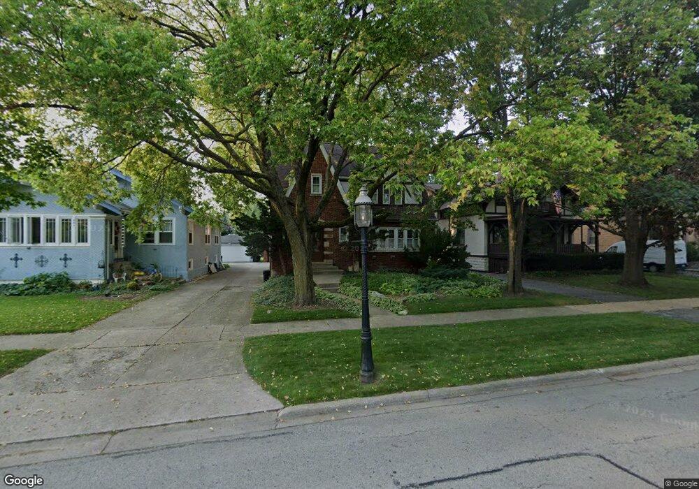
405 Addison Rd Riverside, IL 60546
Estimated Value: $549,129 - $637,000
3
Beds
3
Baths
1,769
Sq Ft
$338/Sq Ft
Est. Value
About This Home
This home is located at 405 Addison Rd, Riverside, IL 60546 and is currently estimated at $597,782, approximately $337 per square foot. 405 Addison Rd is a home located in Cook County with nearby schools including Blythe Park Elementary School, L J Hauser Jr High School, and Riverside Brookfield High School.
Ownership History
Date
Name
Owned For
Owner Type
Purchase Details
Closed on
Nov 6, 1998
Sold by
Wolfer Michael J and Wolfer Pamela J
Bought by
Smymiotis Charles P and Watkins Marilyn
Current Estimated Value
Home Financials for this Owner
Home Financials are based on the most recent Mortgage that was taken out on this home.
Original Mortgage
$269,900
Outstanding Balance
$55,133
Interest Rate
6.68%
Estimated Equity
$542,649
Create a Home Valuation Report for This Property
The Home Valuation Report is an in-depth analysis detailing your home's value as well as a comparison with similar homes in the area
Home Values in the Area
Average Home Value in this Area
Purchase History
| Date | Buyer | Sale Price | Title Company |
|---|---|---|---|
| Smymiotis Charles P | $300,000 | -- |
Source: Public Records
Mortgage History
| Date | Status | Borrower | Loan Amount |
|---|---|---|---|
| Open | Smymiotis Charles P | $269,900 |
Source: Public Records
Tax History
| Year | Tax Paid | Tax Assessment Tax Assessment Total Assessment is a certain percentage of the fair market value that is determined by local assessors to be the total taxable value of land and additions on the property. | Land | Improvement |
|---|---|---|---|---|
| 2025 | $11,207 | $36,585 | $7,998 | $28,587 |
| 2024 | $11,207 | $36,585 | $7,998 | $28,587 |
| 2023 | $9,964 | $41,000 | $7,998 | $33,002 |
| 2022 | $9,964 | $32,172 | $6,998 | $25,174 |
| 2021 | $10,403 | $34,261 | $6,998 | $27,263 |
| 2020 | $10,951 | $36,345 | $6,998 | $29,347 |
| 2019 | $8,516 | $30,368 | $6,398 | $23,970 |
| 2018 | $8,262 | $30,368 | $6,398 | $23,970 |
| 2017 | $8,030 | $30,368 | $6,398 | $23,970 |
| 2016 | $7,503 | $25,587 | $5,598 | $19,989 |
| 2015 | $7,707 | $26,894 | $5,598 | $21,296 |
| 2014 | $10,239 | $32,844 | $5,598 | $27,246 |
| 2013 | $10,601 | $36,610 | $5,598 | $31,012 |
Source: Public Records
Map
Nearby Homes
- 369 Addison Rd
- 475 Shenstone Rd Unit 104
- 475 Shenstone Rd Unit 304
- 475 Shenstone Rd Unit 303
- 484 Shenstone Rd
- 3111 Wenonah Ave
- 269 Shenstone Rd
- 478 Kent Rd
- 7048 35th St
- 2816 Wenonah Ave
- 3330 Grove Ave Unit 1S
- 2817 Wenonah Ave
- 562 Byrd Rd
- 3303 Grove Ave Unit 310
- 6828 30th Place
- 571 Byrd Rd
- 6840 29th Place
- 3548 Clinton Ave
- 280 Blackhawk Rd
- 3031 Oak Park Ave
Your Personal Tour Guide
Ask me questions while you tour the home.