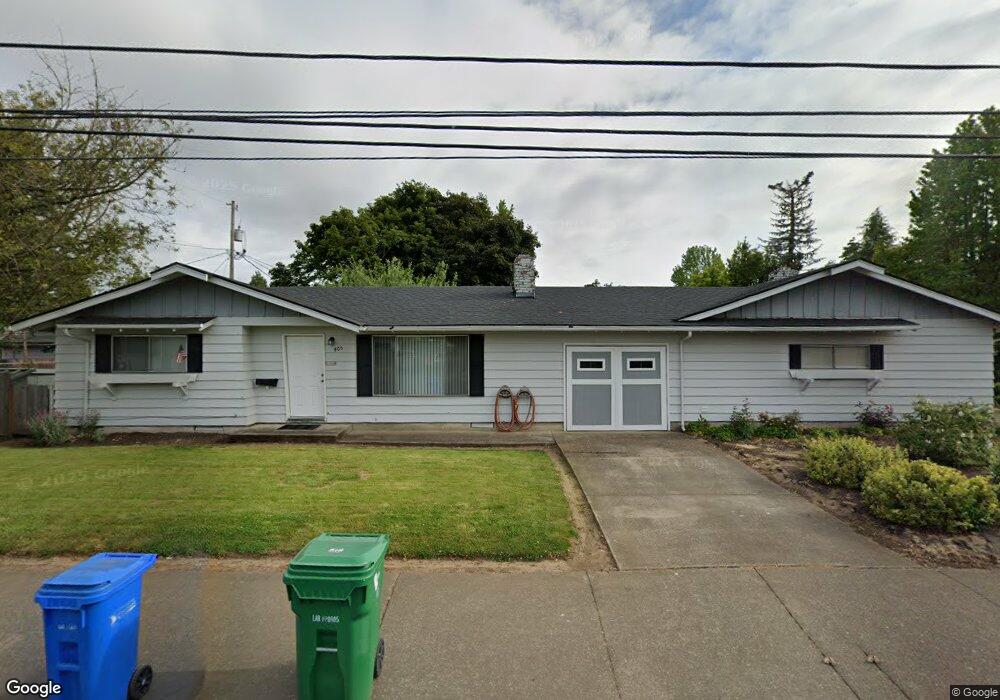
405 Maxwell Rd Eugene, OR 97404
River Road NeighborhoodEstimated Value: $275,000 - $492,000
4
Beds
2
Baths
2,224
Sq Ft
$168/Sq Ft
Est. Value
About This Home
This home is located at 405 Maxwell Rd, Eugene, OR 97404 and is currently estimated at $373,038, approximately $167 per square foot. 405 Maxwell Rd is a home located in Lane County with nearby schools including Howard Elementary School, Kelly Middle School, and North Eugene High School.
Ownership History
Date
Name
Owned For
Owner Type
Purchase Details
Closed on
Apr 3, 2025
Sold by
Vanderbelt Daniel
Bought by
Vanderbelt Daniel and Vanderbelt Tammy
Current Estimated Value
Purchase Details
Closed on
Apr 1, 2025
Sold by
Kenneth And Doris Vanderbelt Family Trus and Vanderbelt Doris
Bought by
Vanderbelt Daniel
Purchase Details
Closed on
Apr 21, 2022
Sold by
Vanderbelt Jr Kenneth K
Bought by
Kenneth And Doris Vanderbelt Family Trust
Purchase Details
Closed on
Nov 18, 2021
Sold by
Vanderbelt Kenneth K
Bought by
Kenneth And Doris Vanderbelt Family Trust
Create a Home Valuation Report for This Property
The Home Valuation Report is an in-depth analysis detailing your home's value as well as a comparison with similar homes in the area
Home Values in the Area
Average Home Value in this Area
Purchase History
| Date | Buyer | Sale Price | Title Company |
|---|---|---|---|
| Vanderbelt Daniel | -- | First American Title | |
| Vanderbelt Daniel | $286,000 | First American Title | |
| Kenneth And Doris Vanderbelt Family Trust | -- | None Listed On Document | |
| Kenneth And Doris Vanderbelt Family Trust | -- | None Listed On Document |
Source: Public Records
Tax History
| Year | Tax Paid | Tax Assessment Tax Assessment Total Assessment is a certain percentage of the fair market value that is determined by local assessors to be the total taxable value of land and additions on the property. | Land | Improvement |
|---|---|---|---|---|
| 2025 | $4,744 | $282,381 | -- | -- |
| 2024 | $4,692 | $274,157 | -- | -- |
| 2023 | $4,692 | $266,172 | -- | -- |
| 2022 | $4,413 | $258,420 | $0 | $0 |
| 2021 | $4,104 | $250,894 | $0 | $0 |
| 2020 | $3,841 | $243,587 | $0 | $0 |
| 2019 | $3,651 | $236,493 | $0 | $0 |
| 2018 | $3,315 | $222,917 | $0 | $0 |
| 2017 | $3,174 | $222,917 | $0 | $0 |
| 2016 | $3,053 | $216,424 | $0 | $0 |
| 2015 | $3,012 | $210,120 | $0 | $0 |
| 2014 | $3,029 | $204,000 | $0 | $0 |
Source: Public Records
Map
Nearby Homes
- 389 Maxwell Rd
- 1880 Manihi Dr
- 1487 Barton St
- 1483 Barton St
- 1566 Maywood Ave
- 1682 Hemlock St
- 1420 Evergreen Dr
- 1755 Brentwood Ave
- 1360 Andersen Ln
- 1314 Dalton Dr
- 401 Sterling Dr
- 154 Norman Ave
- 172 Norman Ave
- 2439 Quince St
- 315 Heritage Ave
- 1010 Horn Ln
- 303 Lenore Loop
- 193 Santa Clara Ave
- 215 Jonquil Ave
- 788 Cornwall Ave
- 1728 Santa Rosa St
- 447 Maxwell Rd
- 1725 Escalante St
- 1744 Santa Rosa St
- 410 Maxwell Rd
- 1727 Santa Rosa St
- 1741 Escalante St
- 420 Maxwell Rd
- 1743 Santa Rosa St
- 1760 Santa Rosa St
- 408 Maxwell Rd
- 1757 Escalante St
- 1670 Santa Rosa St
- 375 Maxwell Rd
- 438 Maxwell Rd
- 1759 Santa Rosa St
- 1730 Ridgefield St
- 1669 Escalante St
- 1710 Escalante St
- 1766 Santa Rosa St
Your Personal Tour Guide
Ask me questions while you tour the home.