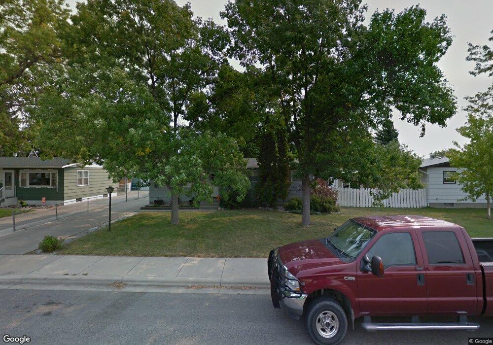
405 Normandy Dr Billings, MT 59102
East Central Billings NeighborhoodEstimated Value: $266,000 - $344,000
4
Beds
2
Baths
1,144
Sq Ft
$276/Sq Ft
Est. Value
About This Home
This home is located at 405 Normandy Dr, Billings, MT 59102 and is currently estimated at $315,944, approximately $276 per square foot. 405 Normandy Dr is a home located in Yellowstone County with nearby schools including Miles Avenue School, Lewis & Clark Junior High School, and Billings West High School.
Ownership History
Date
Name
Owned For
Owner Type
Purchase Details
Closed on
May 28, 2010
Sold by
Davis Richard J and Digiacomo Suzanne A
Bought by
Eastlick Dustin and Startin Trudi
Current Estimated Value
Home Financials for this Owner
Home Financials are based on the most recent Mortgage that was taken out on this home.
Original Mortgage
$176,127
Outstanding Balance
$116,759
Interest Rate
4.75%
Mortgage Type
FHA
Estimated Equity
$199,185
Purchase Details
Closed on
Dec 8, 2006
Sold by
Koerber Ken and Koerber Julie
Bought by
Davis Richard J and Digiacomo Suzanne A
Home Financials for this Owner
Home Financials are based on the most recent Mortgage that was taken out on this home.
Original Mortgage
$75,000
Interest Rate
6.38%
Mortgage Type
New Conventional
Create a Home Valuation Report for This Property
The Home Valuation Report is an in-depth analysis detailing your home's value as well as a comparison with similar homes in the area
Home Values in the Area
Average Home Value in this Area
Purchase History
| Date | Buyer | Sale Price | Title Company |
|---|---|---|---|
| Eastlick Dustin | -- | Ctic | |
| Davis Richard J | -- | Stewart Title Of Billings |
Source: Public Records
Mortgage History
| Date | Status | Borrower | Loan Amount |
|---|---|---|---|
| Open | Eastlick Dustin | $176,127 | |
| Previous Owner | Davis Richard J | $75,000 |
Source: Public Records
Tax History Compared to Growth
Tax History
| Year | Tax Paid | Tax Assessment Tax Assessment Total Assessment is a certain percentage of the fair market value that is determined by local assessors to be the total taxable value of land and additions on the property. | Land | Improvement |
|---|---|---|---|---|
| 2025 | $2,672 | $326,500 | $48,010 | $278,490 |
| 2024 | $2,672 | $276,300 | $44,410 | $231,890 |
| 2023 | $2,675 | $276,300 | $44,410 | $231,890 |
| 2022 | $2,161 | $228,900 | $0 | $0 |
| 2021 | $2,397 | $228,900 | $0 | $0 |
| 2020 | $2,369 | $215,600 | $0 | $0 |
| 2019 | $2,263 | $215,600 | $0 | $0 |
| 2018 | $2,147 | $200,200 | $0 | $0 |
| 2017 | $1,853 | $200,200 | $0 | $0 |
| 2016 | $1,923 | $186,400 | $0 | $0 |
| 2015 | $1,881 | $186,400 | $0 | $0 |
| 2014 | $1,685 | $88,298 | $0 | $0 |
Source: Public Records
Map
Nearby Homes
- 1231 Saint Johns Ave
- 1122 Howard Ave
- 1310 Yellowstone Ave Unit 6
- 1310 Yellowstone Ave Unit 11
- 1310 Yellowstone Ave Unit 16
- 1256 & 1260 Yellowstone Ave
- 112 11th St W
- 1265 Yellowstone Ave
- 1263 Yellowstone Ave
- 1113 Lynn Ave
- 1019 Miles Ave
- 1230 Clark Ave
- 1537 Wyoming Ave Unit D
- 1214 Clark Ave
- 1225 Clark Ave
- 1212 Concord Dr
- 1604 Wyoming Ave
- 1540 Yellowstone Ave Unit D
- 305 17th St W
- 927 Miles Ave
- 1307 Miles Ave
- 409 Normandy Dr
- 413 Normandy Dr
- 1303 Miles Ave
- 408 13th St W
- 412 13th St W
- 417 Normandy Dr
- 408 Normandy Dr
- 1308 Miles Ave
- 412 Normandy Dr
- 1311 Miles Ave
- 1304 Miles Ave
- 416 Normandy Dr
- 416 13th St W
- 421 Normandy Dr
- 420 Normandy Dr
- 320 13th St W
- 1312 Miles Ave
- 321 Normandy Dr
- 420 13th St W