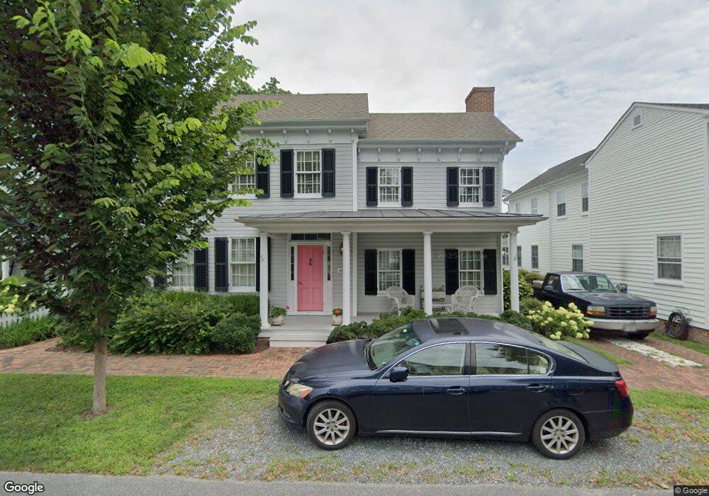
405 Water St Saint Michaels, MD 21663
Estimated Value: $1,286,000 - $2,451,000
Studio
1
Bath
2,548
Sq Ft
$647/Sq Ft
Est. Value
About This Home
This home is located at 405 Water St, Saint Michaels, MD 21663 and is currently estimated at $1,649,346, approximately $647 per square foot. 405 Water St is a home located in Talbot County with nearby schools including St. Michaels Elementary School, St. Michaels Middle/High School, and Easton High School.
Ownership History
Date
Name
Owned For
Owner Type
Purchase Details
Closed on
Dec 30, 1992
Sold by
Rollow J Douglas
Bought by
Rollow J Douglas
Current Estimated Value
Home Financials for this Owner
Home Financials are based on the most recent Mortgage that was taken out on this home.
Original Mortgage
$200,000
Interest Rate
8.13%
Purchase Details
Closed on
May 11, 1987
Sold by
Mills Ladson A
Bought by
Rollow J Douglas
Home Financials for this Owner
Home Financials are based on the most recent Mortgage that was taken out on this home.
Original Mortgage
$153,000
Interest Rate
10.52%
Create a Home Valuation Report for This Property
The Home Valuation Report is an in-depth analysis detailing your home's value as well as a comparison with similar homes in the area
Home Values in the Area
Average Home Value in this Area
Purchase History
| Date | Buyer | Sale Price | Title Company |
|---|---|---|---|
| Rollow J Douglas | $240,000 | -- | |
| Rollow J Douglas | $238,000 | -- |
Source: Public Records
Mortgage History
| Date | Status | Borrower | Loan Amount |
|---|---|---|---|
| Closed | Rollow J Douglas | $200,000 | |
| Previous Owner | Rollow J Douglas | $153,000 |
Source: Public Records
Tax History
| Year | Tax Paid | Tax Assessment Tax Assessment Total Assessment is a certain percentage of the fair market value that is determined by local assessors to be the total taxable value of land and additions on the property. | Land | Improvement |
|---|---|---|---|---|
| 2025 | $17,019 | $1,467,900 | $957,500 | $510,400 |
| 2024 | $16,817 | $1,433,633 | $0 | $0 |
| 2023 | $16,141 | $1,399,367 | $0 | $0 |
| 2022 | $15,546 | $1,365,100 | $957,500 | $407,600 |
| 2021 | $15,394 | $1,361,700 | $0 | $0 |
| 2020 | $15,394 | $1,358,300 | $0 | $0 |
| 2019 | $15,390 | $1,354,900 | $970,200 | $384,700 |
| 2018 | $15,109 | $1,354,900 | $970,200 | $384,700 |
| 2017 | $14,630 | $1,354,900 | $0 | $0 |
| 2016 | $14,420 | $1,498,300 | $0 | $0 |
| 2015 | $15,319 | $1,498,300 | $0 | $0 |
| 2014 | $15,319 | $1,498,300 | $0 | $0 |
Source: Public Records
Map
Nearby Homes
- 222 E Chestnut St
- 106 E Chestnut St
- 114 E Chew Ave
- 216 E Chew Ave
- 101 Mulberry St
- 204 E Marengo St
- 303 Manor St
- Lot 16A Meadow St
- 107 W Chestnut St
- 105 Seymour Ave
- 205 Cherry St
- 114 W Chestnut St
- 113 Gloria Ave
- 111 Gloria Ave
- 117 Chesapeake Ave
- 408 Spinnaker Ln
- 101 Brooks Ln
- 209 Webb Ln
- 938 Marea Terrace
- 912 Calvert Ave
Your Personal Tour Guide
Ask me questions while you tour the home.