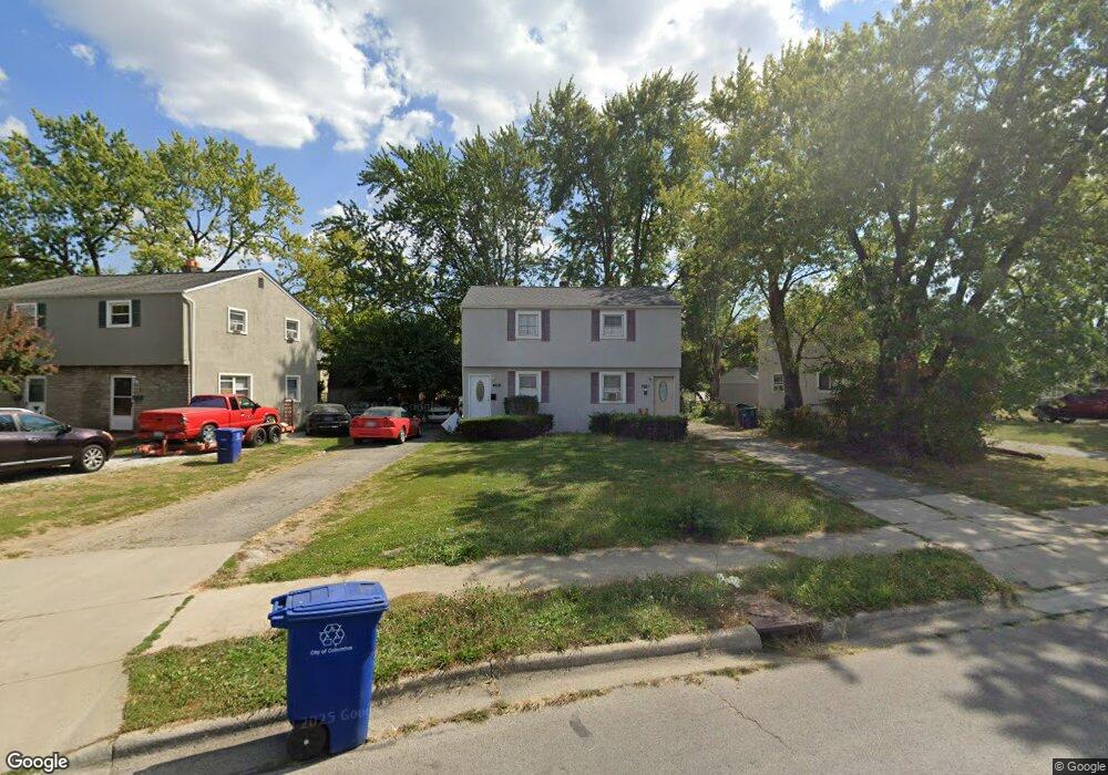
4059 Sullivant Ave Unit 61 Columbus, OH 43228
Georgian Heights NeighborhoodEstimated Value: $166,000 - $201,101
4
Beds
2
Baths
1,696
Sq Ft
$112/Sq Ft
Est. Value
About This Home
This home is located at 4059 Sullivant Ave Unit 61, Columbus, OH 43228 and is currently estimated at $190,025, approximately $112 per square foot. 4059 Sullivant Ave Unit 61 is a home located in Franklin County with nearby schools including Georgian Heights Alt Elementary School, Wedgewood Middle School, and Briggs High School.
Ownership History
Date
Name
Owned For
Owner Type
Purchase Details
Closed on
Feb 6, 2002
Sold by
Martin Michael D and Martin Debra K
Bought by
D C M Investment Group Llc
Current Estimated Value
Purchase Details
Closed on
Dec 7, 2000
Sold by
Locke William P
Bought by
Martin Michael D and Martin Debra K
Purchase Details
Closed on
May 31, 1998
Sold by
Locke William P and Locke Douglas K
Bought by
Martin Michael D and Martin Debra K
Purchase Details
Closed on
Sep 28, 1990
Create a Home Valuation Report for This Property
The Home Valuation Report is an in-depth analysis detailing your home's value as well as a comparison with similar homes in the area
Home Values in the Area
Average Home Value in this Area
Purchase History
| Date | Buyer | Sale Price | Title Company |
|---|---|---|---|
| D C M Investment Group Llc | -- | -- | |
| Martin Michael D | -- | -- | |
| Martin Michael D | $30,000 | -- | |
| -- | -- | -- |
Source: Public Records
Tax History Compared to Growth
Tax History
| Year | Tax Paid | Tax Assessment Tax Assessment Total Assessment is a certain percentage of the fair market value that is determined by local assessors to be the total taxable value of land and additions on the property. | Land | Improvement |
|---|---|---|---|---|
| 2024 | $2,571 | $56,110 | $15,890 | $40,220 |
| 2023 | $2,539 | $56,105 | $15,890 | $40,215 |
| 2022 | $1,540 | $28,980 | $7,000 | $21,980 |
| 2021 | $1,543 | $28,980 | $7,000 | $21,980 |
| 2020 | $1,545 | $28,980 | $7,000 | $21,980 |
| 2019 | $1,502 | $24,160 | $5,850 | $18,310 |
| 2018 | $1,328 | $24,160 | $5,850 | $18,310 |
| 2017 | $1,502 | $24,160 | $5,850 | $18,310 |
| 2016 | $1,270 | $18,690 | $4,270 | $14,420 |
| 2015 | $1,156 | $18,690 | $4,270 | $14,420 |
| 2014 | $1,159 | $18,690 | $4,270 | $14,420 |
| 2013 | $672 | $21,980 | $5,005 | $16,975 |
Source: Public Records
Map
Nearby Homes
- 673 Roth Ave
- 4146 Sexton Dr
- 4220 Atlanta Dr
- 3874 Eakin Rd
- 4201 Sexton Dr
- 4190 Salem Dr
- 3997 Briggs Rd
- 829 Crevis Ln
- 164 Alice Rita St
- 3727-3729 Briggs Rd
- 756 Brixham Rd
- 695 Demorest Rd
- 3551 Glorious Rd
- 970 Tenbrook Place
- 56 Broadlawn Ave
- 4715 Sullivant Ave Unit 46
- 781 Stephen Dr W
- 488 Lombard Rd
- 617 Athens St
- 585 Athens Ave
- 4059 Atlanta Dr
- 4053 Sullivant Ave Unit 55
- 4071 Sullivant Ave Unit 73
- 586 Georgian Dr Unit 588
- 586-588-588 Georgian Dr Unit 586-588
- 4045 Sullivant Ave Unit 47
- 4052 Halsey Place Unit 54
- 4046 Halsey Place Unit 48
- 4039 Sullivant Ave Unit 41
- 4039-4041 Sullivant Ave
- 4040 Halsey Place Unit 42
- 575 Georgian Dr
- 585 Georgian Dr
- 4031 Sullivant Ave Unit 33
- 4034 Halsey Place Unit 36
- 4080 Sullivant Ave
- 4080 Atlanta Dr
- 4101 Atlanta Dr
- 590 Georgian Dr
- 591 Georgian Dr