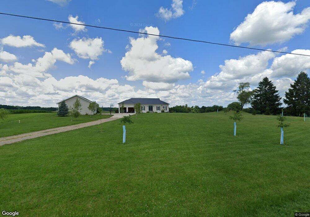
406 County Road 2302 Loudonville, OH 44842
Estimated Value: $415,000 - $433,000
3
Beds
3
Baths
2,257
Sq Ft
$188/Sq Ft
Est. Value
About This Home
This home is located at 406 County Road 2302, Loudonville, OH 44842 and is currently estimated at $423,213, approximately $187 per square foot. 406 County Road 2302 is a home located in Ashland County with nearby schools including McMullen Elementary School, Budd Elementary School, and Loudonville High School.
Ownership History
Date
Name
Owned For
Owner Type
Purchase Details
Closed on
Oct 15, 2016
Bought by
Staten Jeremy D and Staten Sarah E
Current Estimated Value
Home Financials for this Owner
Home Financials are based on the most recent Mortgage that was taken out on this home.
Original Mortgage
$189,000
Outstanding Balance
$154,626
Interest Rate
3.74%
Mortgage Type
New Conventional
Estimated Equity
$268,587
Purchase Details
Closed on
Aug 2, 2002
Bought by
Hornbeck Joseph F
Create a Home Valuation Report for This Property
The Home Valuation Report is an in-depth analysis detailing your home's value as well as a comparison with similar homes in the area
Home Values in the Area
Average Home Value in this Area
Purchase History
| Date | Buyer | Sale Price | Title Company |
|---|---|---|---|
| Staten Jeremy D | -- | -- | |
| Hornbeck Joseph F | $38,700 | -- |
Source: Public Records
Mortgage History
| Date | Status | Borrower | Loan Amount |
|---|---|---|---|
| Open | Staten Jeremy D | $189,000 | |
| Closed | Staten Jeremy D | $186,100 |
Source: Public Records
Tax History Compared to Growth
Tax History
| Year | Tax Paid | Tax Assessment Tax Assessment Total Assessment is a certain percentage of the fair market value that is determined by local assessors to be the total taxable value of land and additions on the property. | Land | Improvement |
|---|---|---|---|---|
| 2024 | $4,048 | $115,320 | $21,290 | $94,030 |
| 2023 | $4,048 | $115,320 | $21,290 | $94,030 |
| 2022 | $3,682 | $82,380 | $15,210 | $67,170 |
| 2021 | $3,688 | $82,380 | $15,210 | $67,170 |
| 2020 | $3,471 | $82,380 | $15,210 | $67,170 |
| 2019 | $3,194 | $74,310 | $14,040 | $60,270 |
| 2018 | $3,070 | $73,540 | $14,040 | $59,500 |
| 2017 | $3,066 | $73,540 | $14,040 | $59,500 |
| 2016 | $2,777 | $66,850 | $12,760 | $54,090 |
| 2015 | $2,677 | $66,850 | $12,760 | $54,090 |
| 2013 | $3,219 | $74,110 | $12,640 | $61,470 |
Source: Public Records
Map
Nearby Homes
- 560 Township Road 2402
- 609 Ohio 95
- 0 Ashland County Road 2175
- 0 Ashland County Road 2175
- 2057 State Route 89
- 112 Ohio 95
- 150 E Main St
- 2818 Township Road 2812
- 0 Township Road 925
- 1406 Pearl Dr
- 1845 County Road 655
- 820 County Road 30a
- 500 Stone Meadow Cir
- 14 E South St
- 723 Pearl Dr
- 518 Snyder Dr
- 524 N Union St
- 968 Township Road 2506
- 333 E Campbell St
- 395 State Route 95
- 0 State Route 95 Township Road 2300
- 434 County Road 2302
- 2355 Township Road 457
- 2351 Township Road 457
- 394 Ohio 95
- 394 Sr 95
- 382 Ohio 95
- 379 State Route 95
- 2365 Township Road 457
- 2367 Township Road 457
- 369 State Route 95
- 2379 Township Road 457
- 359 Ohio 95
- 359 St Rte 95
- 2331 County Road 377
- 359 State Route 95
- 359 State Route 95
- 359 State Route 95
- 359 State Route 95