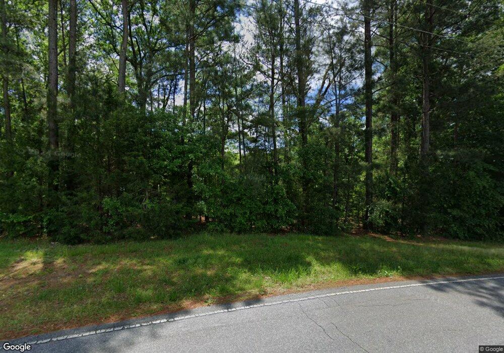
406 Jeb Seagle Dr Lincolnton, NC 28092
Estimated Value: $171,112 - $203,000
3
Beds
1
Bath
1,044
Sq Ft
$181/Sq Ft
Est. Value
About This Home
This home is located at 406 Jeb Seagle Dr, Lincolnton, NC 28092 and is currently estimated at $189,028, approximately $181 per square foot. 406 Jeb Seagle Dr is a home located in Lincoln County with nearby schools including Battleground Elementary School, Lincolnton Middle School, and Lincolnton High School.
Ownership History
Date
Name
Owned For
Owner Type
Purchase Details
Closed on
Aug 8, 2023
Sold by
Dellinger Dennis J and Dellinger Linda Lou
Bought by
Dellinger Zene
Current Estimated Value
Purchase Details
Closed on
May 22, 2017
Sold by
Dellinger Ramsey M and Dellinger Lara B
Bought by
Dellinger Zachary Lee
Purchase Details
Closed on
Apr 21, 2017
Sold by
Dellinger Jacob A
Bought by
Dellinger Ramsey M
Create a Home Valuation Report for This Property
The Home Valuation Report is an in-depth analysis detailing your home's value as well as a comparison with similar homes in the area
Home Values in the Area
Average Home Value in this Area
Purchase History
| Date | Buyer | Sale Price | Title Company |
|---|---|---|---|
| Dellinger Zene | -- | None Listed On Document | |
| Dellinger Zachary Lee | -- | None Available | |
| Dellinger Ramsey M | -- | None Available |
Source: Public Records
Tax History Compared to Growth
Tax History
| Year | Tax Paid | Tax Assessment Tax Assessment Total Assessment is a certain percentage of the fair market value that is determined by local assessors to be the total taxable value of land and additions on the property. | Land | Improvement |
|---|---|---|---|---|
| 2025 | $1,251 | $111,230 | $22,630 | $88,600 |
| 2024 | $1,231 | $111,230 | $22,630 | $88,600 |
| 2023 | $1,226 | $111,230 | $22,630 | $88,600 |
| 2022 | $791 | $57,338 | $12,720 | $44,618 |
| 2021 | $791 | $57,338 | $12,720 | $44,618 |
| 2020 | $665 | $57,338 | $12,720 | $44,618 |
| 2019 | $665 | $57,338 | $12,720 | $44,618 |
| 2018 | $681 | $49,489 | $11,815 | $37,674 |
| 2017 | $580 | $49,489 | $11,815 | $37,674 |
| 2016 | $580 | $49,489 | $11,815 | $37,674 |
| 2015 | $652 | $49,489 | $11,815 | $37,674 |
| 2014 | $727 | $55,682 | $12,220 | $43,462 |
Source: Public Records
Map
Nearby Homes
- 801 N Grove St
- 535 Norman Fair Ave
- 502 Forney Ave
- 327 Bonview Ave
- 524 Bonview Ave
- 316 N Government St
- 411 W Sycamore St
- 743 Lore Rd
- 627 W Main St
- 423 N Cedar St
- 668 Riverside Dr
- 317 S High St
- 815 N Laurel St
- 826 E Alexander St
- 329 E Congress St
- 834 N Flint St
- 665 S Grove St
- 681 S Grove St
- 689 S Grove St
- 515 S Academy St
- 402 Jeb Seagle Dr
- 1780 Tuckaseegee Rd
- 110 Linwood Dr
- 118 Linwood Dr
- 736 N Grove St
- 106 Linwood Dr
- 720 N Grove St
- 100 Linwood Dr
- 120 Linwood Dr
- 708 N Grove St
- 124 Linwood Dr
- 4 Linwood Dr Unit 4
- 121 Linwood Dr
- 5 Linwood Dr Unit 5
- 7 Linwood Dr Unit 7
- 117 Linwood Dr
- 719 Battleground Rd
- 702 N Grove St
- 712 Grovedale Dr
- 126 Linwood Dr
