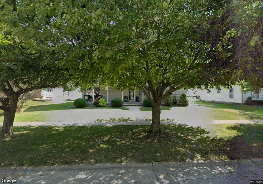
406 S Devoe St Lone Tree, IA 52755
Estimated Value: $341,000 - $460,000
5
Beds
6
Baths
3,436
Sq Ft
$115/Sq Ft
Est. Value
About This Home
This home is located at 406 S Devoe St, Lone Tree, IA 52755 and is currently estimated at $394,064, approximately $114 per square foot. 406 S Devoe St is a home located in Johnson County with nearby schools including Lone Tree Elementary School and Lone Tree Junior/Senior High School.
Ownership History
Date
Name
Owned For
Owner Type
Purchase Details
Closed on
Jan 10, 2017
Sold by
Krueger Carmen M
Bought by
Krueger Todd A
Current Estimated Value
Purchase Details
Closed on
Apr 16, 2007
Sold by
Green Deborah A and Jensen Deborah A
Bought by
Krueger Todd A and Krueger Carmen M
Home Financials for this Owner
Home Financials are based on the most recent Mortgage that was taken out on this home.
Original Mortgage
$23,990
Interest Rate
5.91%
Mortgage Type
Balloon
Create a Home Valuation Report for This Property
The Home Valuation Report is an in-depth analysis detailing your home's value as well as a comparison with similar homes in the area
Purchase History
| Date | Buyer | Sale Price | Title Company |
|---|---|---|---|
| Krueger Todd A | -- | None Available | |
| Krueger Todd A | $240,000 | None Available |
Source: Public Records
Mortgage History
| Date | Status | Borrower | Loan Amount |
|---|---|---|---|
| Closed | Krueger Todd A | $23,990 |
Source: Public Records
Tax History
| Year | Tax Paid | Tax Assessment Tax Assessment Total Assessment is a certain percentage of the fair market value that is determined by local assessors to be the total taxable value of land and additions on the property. | Land | Improvement |
|---|---|---|---|---|
| 2025 | $5,010 | $381,600 | $37,200 | $344,400 |
| 2024 | $49 | $372,800 | $37,200 | $335,600 |
| 2023 | $4,580 | $372,800 | $37,200 | $335,600 |
| 2022 | $4,528 | $299,500 | $29,400 | $270,100 |
| 2021 | $4,696 | $299,500 | $29,400 | $270,100 |
| 2020 | $4,696 | $296,600 | $26,500 | $270,100 |
| 2019 | $4,188 | $296,600 | $26,500 | $270,100 |
| 2018 | $4,112 | $260,700 | $26,500 | $234,200 |
| 2017 | $4,112 | $260,700 | $26,500 | $234,200 |
| 2016 | $4,124 | $256,400 | $26,500 | $229,900 |
| 2015 | $4,124 | $256,400 | $26,500 | $229,900 |
| 2014 | $4,540 | $273,800 | $29,400 | $244,400 |
Source: Public Records
Map
Nearby Homes
- 500 S Center St
- 305 S Riggs St
- 407 E Elm St
- 210 W Mapel Dr
- 221 W Commercial St
- 763 N Perkins St
- 25840 Golden Oak Ln Lot 1
- 25838 Golden Oak Ln Lot 7
- 25836 Golden Oak Ln Lot 8
- 25832 Golden Oak Ln Lot 12
- 25736 Golden Pond Ln Se Lot 17
- 25738 Golden Pond Ln Se Lot 16
- 25824 Golden Oak Ln Lot 9
- 1092 Walnut Ave Unit 209
- 1092 Walnut Ave Unit 301
- 1092 Walnut Ave Unit 117 Bld E
- 1092 Walnut Ave Unit 114 Bld D
- Lot 2 116th Cir
- 207 Short St
- Lot 39 Walter Mapp Dr
- 410 S Devoe St
- 404 S Devoe St
- 400 S Devoe St
- 405 S Center St
- 411 S Center St
- 403 S Center St
- 101 E Sunnyside St
- 401 S Center St
- 501 S Center St
- 504 S Devoe St
- 508 Devoe St S
- 102 E Rice St
- 503 S Center St
- 501 S Devoe St
- 311 S Center St
- 404 S Center St
- 306 S Devoe St
- 200 E Sunnyside St
- 507 S Center St
- 400 S Center St
Your Personal Tour Guide
Ask me questions while you tour the home.