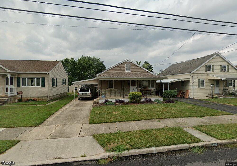
407 Delone Ave Unit 10 Mc Sherrystown, PA 17344
Estimated Value: $225,000 - $234,000
3
Beds
1
Bath
1,176
Sq Ft
$194/Sq Ft
Est. Value
About This Home
This home is located at 407 Delone Ave Unit 10, Mc Sherrystown, PA 17344 and is currently estimated at $228,700, approximately $194 per square foot. 407 Delone Ave Unit 10 is a home located in Adams County with nearby schools including New Oxford Senior High School, St. Teresa of Calcutta Catholic School - McSherrystown Campus, and St. Teresa of Calcutta Catholic School - Conewago Campus.
Ownership History
Date
Name
Owned For
Owner Type
Purchase Details
Closed on
Jul 22, 2016
Sold by
Moser Jason W and Moser Rebecca M
Bought by
Gilchrist Brian John
Current Estimated Value
Purchase Details
Closed on
Jun 29, 2012
Sold by
Kopp William G and Hollerich Karen L
Bought by
Kopp Corey M
Home Financials for this Owner
Home Financials are based on the most recent Mortgage that was taken out on this home.
Original Mortgage
$57,000
Interest Rate
3.76%
Mortgage Type
New Conventional
Create a Home Valuation Report for This Property
The Home Valuation Report is an in-depth analysis detailing your home's value as well as a comparison with similar homes in the area
Home Values in the Area
Average Home Value in this Area
Purchase History
| Date | Buyer | Sale Price | Title Company |
|---|---|---|---|
| Gilchrist Brian John | $138,000 | None Available | |
| Kopp Corey M | $71,250 | None Available |
Source: Public Records
Mortgage History
| Date | Status | Borrower | Loan Amount |
|---|---|---|---|
| Previous Owner | Kopp Corey M | $57,000 |
Source: Public Records
Tax History Compared to Growth
Tax History
| Year | Tax Paid | Tax Assessment Tax Assessment Total Assessment is a certain percentage of the fair market value that is determined by local assessors to be the total taxable value of land and additions on the property. | Land | Improvement |
|---|---|---|---|---|
| 2025 | $3,612 | $138,600 | $27,500 | $111,100 |
| 2024 | $3,359 | $138,600 | $27,500 | $111,100 |
| 2023 | $3,197 | $138,600 | $27,500 | $111,100 |
| 2022 | $3,106 | $138,600 | $27,500 | $111,100 |
| 2021 | $2,964 | $138,600 | $27,500 | $111,100 |
| 2020 | $2,898 | $138,600 | $27,500 | $111,100 |
| 2019 | $2,842 | $138,600 | $27,500 | $111,100 |
| 2018 | $2,786 | $138,600 | $27,500 | $111,100 |
| 2017 | $2,679 | $138,600 | $27,500 | $111,100 |
| 2016 | -- | $138,600 | $27,500 | $111,100 |
| 2015 | -- | $138,600 | $27,500 | $111,100 |
| 2014 | -- | $138,600 | $27,500 | $111,100 |
Source: Public Records
Map
Nearby Homes
- 417 Main St
- 535 South St
- 337 2 Main
- 335 North St
- 618 North St
- 617 N Blettner Ave Unit 120
- 303 Ridge Ave
- 718 Linden Ave
- 10 Bear Cir Unit 29
- 129 Main St
- 303 Puma Dr Unit 22
- 1012 W Elm Ave
- 213 S Madison St
- 253 Vincent Dr Unit 87
- 46 Flint Dr
- 54 Flint Dr
- 65 Flint Dr
- 11 Flint Dr
- 62 Flint Dr
- 24 Red Stone Ln Unit 47
- 405 Delone Ave Unit 9
- 411 Delone Ave
- 415 Delone Ave
- 403 Delone Ave Unit 8
- 401 Delone Ave Unit 1
- 417 Delone Ave
- 412 South St
- 410 South St
- 414 South St
- 404 South St
- 414 Delone Ave
- 418 South St
- 416 Delone Ave
- 400 South St
- 420 South St
- 400 Delone Ave
- 156 S 5th St
- 418 Delone Ave
- 422 South St
- 424 Delone Ave Unit 32