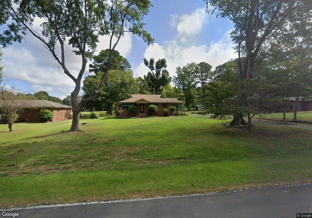
407 Robbins Rd Durham, NC 27703
Eastern Durham NeighborhoodEstimated Value: $266,378 - $338,000
3
Beds
1
Bath
1,147
Sq Ft
$264/Sq Ft
Est. Value
About This Home
This home is located at 407 Robbins Rd, Durham, NC 27703 and is currently estimated at $302,345, approximately $263 per square foot. 407 Robbins Rd is a home located in Durham County with nearby schools including Oak Grove Elementary, John W Neal Middle School, and Southern School of Energy & Sustainability.
Ownership History
Date
Name
Owned For
Owner Type
Purchase Details
Closed on
Nov 18, 2025
Sold by
Poplin Jayne H and Poplin Michael F
Bought by
Poplin Michael F
Current Estimated Value
Purchase Details
Closed on
Apr 30, 2003
Sold by
Poplin Carolyn R
Bought by
Poplin Michael F and Poplin Jayne H
Home Financials for this Owner
Home Financials are based on the most recent Mortgage that was taken out on this home.
Original Mortgage
$60,000
Interest Rate
5.79%
Create a Home Valuation Report for This Property
The Home Valuation Report is an in-depth analysis detailing your home's value as well as a comparison with similar homes in the area
Home Values in the Area
Average Home Value in this Area
Purchase History
| Date | Buyer | Sale Price | Title Company |
|---|---|---|---|
| Poplin Michael F | -- | None Listed On Document | |
| Poplin Michael F | $46,500 | -- |
Source: Public Records
Mortgage History
| Date | Status | Borrower | Loan Amount |
|---|---|---|---|
| Previous Owner | Poplin Michael F | $60,000 |
Source: Public Records
Tax History
| Year | Tax Paid | Tax Assessment Tax Assessment Total Assessment is a certain percentage of the fair market value that is determined by local assessors to be the total taxable value of land and additions on the property. | Land | Improvement |
|---|---|---|---|---|
| 2025 | $1,923 | $258,394 | $122,525 | $135,869 |
| 2024 | $1,512 | $135,891 | $42,275 | $93,616 |
| 2023 | $1,453 | $135,891 | $42,275 | $93,616 |
| 2022 | $1,405 | $135,891 | $42,275 | $93,616 |
| 2021 | $1,192 | $135,891 | $42,275 | $93,616 |
| 2020 | $1,165 | $135,891 | $42,275 | $93,616 |
| 2019 | $1,151 | $135,891 | $42,275 | $93,616 |
| 2018 | $1,035 | $112,188 | $29,592 | $82,596 |
| 2017 | $1,002 | $112,188 | $29,592 | $82,596 |
| 2016 | $971 | $112,188 | $29,592 | $82,596 |
| 2015 | $1,092 | $103,280 | $31,146 | $72,134 |
| 2014 | $1,098 | $103,280 | $31,146 | $72,134 |
Source: Public Records
Map
Nearby Homes
- 442 Gus Rd
- 2800-2809 Napoli Dr
- 528 Plumleaf Ln
- 13 Blackthorn Ln
- 1112 Blackthorn Ln
- 17 Plumleaf Ln
- 517 Keith St
- 5002 Wake Forest Hwy
- 807 Outlaw Ave
- 1114 Blackthorn Ln
- 607 Ravenstone Ln
- 6 Spicewood Ct
- 601 Crossing Dr
- 621 Wellwater Ave
- 819 Ember Dr
- 428 Holly Blossom Dr
- 208 Lick Creek Ln
- 1125 Arbor Edge Ln
- 1056 Arbor Edge Ln
- 210 Stallings Rd
Your Personal Tour Guide
Ask me questions while you tour the home.