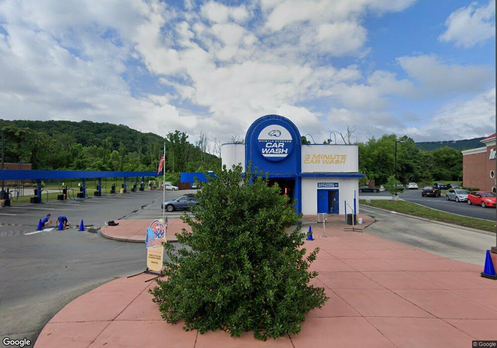
407 Signal Mountain Rd Chattanooga, TN 37405
Mountain Creek NeighborhoodEstimated Value: $9,040,272
--
Bed
2
Baths
6,660
Sq Ft
$1,357/Sq Ft
Est. Value
About This Home
This home is located at 407 Signal Mountain Rd, Chattanooga, TN 37405 and is currently estimated at $9,040,272, approximately $1,357 per square foot. 407 Signal Mountain Rd is a home located in Hamilton County with nearby schools including Red Bank Elementary School, Red Bank Middle School, and Red Bank High School.
Ownership History
Date
Name
Owned For
Owner Type
Purchase Details
Closed on
Jul 10, 2007
Sold by
Austin Thomas A
Bought by
The Woodward Group Llc
Current Estimated Value
Home Financials for this Owner
Home Financials are based on the most recent Mortgage that was taken out on this home.
Original Mortgage
$432,000
Interest Rate
6.37%
Mortgage Type
Commercial
Purchase Details
Closed on
Jun 7, 2004
Sold by
Triggs Lillian K and Young Robert L
Bought by
Austin Thomas A
Create a Home Valuation Report for This Property
The Home Valuation Report is an in-depth analysis detailing your home's value as well as a comparison with similar homes in the area
Home Values in the Area
Average Home Value in this Area
Purchase History
| Date | Buyer | Sale Price | Title Company |
|---|---|---|---|
| The Woodward Group Llc | $575,000 | Pioneer Title Agency Inc | |
| Austin Thomas A | $250,000 | Pioneer Title Agency Inc |
Source: Public Records
Mortgage History
| Date | Status | Borrower | Loan Amount |
|---|---|---|---|
| Closed | The Woodward Group Llc | $432,000 |
Source: Public Records
Tax History Compared to Growth
Tax History
| Year | Tax Paid | Tax Assessment Tax Assessment Total Assessment is a certain percentage of the fair market value that is determined by local assessors to be the total taxable value of land and additions on the property. | Land | Improvement |
|---|---|---|---|---|
| 2024 | $11,442 | $511,400 | $0 | $0 |
| 2023 | $11,442 | $511,400 | $0 | $0 |
| 2022 | $11,442 | $511,400 | $0 | $0 |
| 2021 | $11,442 | $511,400 | $0 | $0 |
| 2020 | $12,077 | $436,760 | $0 | $0 |
| 2019 | $12,077 | $436,760 | $0 | $0 |
| 2018 | $10,957 | $436,760 | $0 | $0 |
| 2017 | $12,077 | $436,760 | $0 | $0 |
| 2016 | $11,988 | $0 | $0 | $0 |
| 2015 | $22,919 | $433,520 | $0 | $0 |
| 2014 | $22,919 | $0 | $0 | $0 |
Source: Public Records
Map
Nearby Homes
- 0 Alden Ave
- 160 Dal Brown Rd
- 129 Signal Hills Dr
- 537 Lullwater Rd
- 541 Lullwater Rd
- 326 W Midvale Ave
- 154 Goodson Ave
- 1108 Cityscape View
- Yosemite Plan at Northwind - Morningside
- Everwood Plan at Northwind - Eveningside
- River Plan at Northwind - Eveningside
- Redwood Plan at Northwind - Eveningside
- Arlington Plan at Northwind - Eveningside
- Everwood Plan at Northwind - Morningside
- Redwood Plan at Northwind - Morningside
- Arlington Plan at Northwind - Morningside
- River Plan at Northwind - Morningside
- Yosemite Plan at Northwind - Eveningside
- 11 Cityscape View
- 4 Cityscape View
- 405 Signal Mountain Rd
- 457 Signal Mountain Rd
- 120 Runyan Dr
- 418 Runyan Dr
- 420 Runyan Dr
- 146 Baylor School Rd
- 145 Baylor School Rd
- 143 Baylor School Rd
- 430 Runyan Dr
- 137 Baylor School Rd
- 147 Baylor School Rd
- 123 Baylor School Rd
- 353 Baylor Ct
- 500 Runyan Dr
- 339 Baylor Ct
- 342 Baylor Ct
- 504 Runyan Dr
- 157 Baylor School Rd
- 155 Baylor School Rd
- 155 Baylor School Rd
