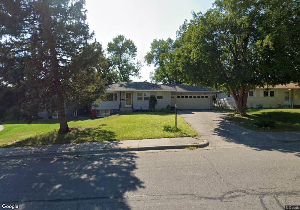
408 12th St W Billings, MT 59102
East Central Billings NeighborhoodEstimated Value: $294,000 - $337,000
3
Beds
2
Baths
1,974
Sq Ft
$162/Sq Ft
Est. Value
About This Home
This home is located at 408 12th St W, Billings, MT 59102 and is currently estimated at $319,533, approximately $161 per square foot. 408 12th St W is a home located in Yellowstone County with nearby schools including Washington School, Lewis & Clark Junior High School, and Billings Senior High School.
Ownership History
Date
Name
Owned For
Owner Type
Purchase Details
Closed on
May 27, 2016
Sold by
Groseth Jaynee Drange and Berg Judith Kay
Bought by
Banuelos David C and Martin Allison L
Current Estimated Value
Purchase Details
Closed on
Aug 25, 2015
Sold by
Drange Terry N and Groseth Jaynee R
Bought by
Groseth Jaynee Drange and Berg Judith Kay
Purchase Details
Closed on
May 30, 2012
Sold by
Drange Terry N and Groseth Jaynee R
Bought by
Drange Survivors Trust
Create a Home Valuation Report for This Property
The Home Valuation Report is an in-depth analysis detailing your home's value as well as a comparison with similar homes in the area
Home Values in the Area
Average Home Value in this Area
Purchase History
We collect this data history from publicly available records. To have your information removed, we recommend requesting removal directly through your county’s website.
| Date | Buyer | Sale Price | Title Company |
|---|---|---|---|
| Banuelos David C | -- | Chicago Title | |
| Groseth Jaynee Drange | -- | None Available | |
| Groseth Jaynee Drange | -- | None Available | |
| Drange Survivors Trust | -- | None Available |
Source: Public Records
Tax History
| Year | Tax Paid | Tax Assessment Tax Assessment Total Assessment is a certain percentage of the fair market value that is determined by local assessors to be the total taxable value of land and additions on the property. | Land | Improvement |
|---|---|---|---|---|
| 2025 | $2,706 | $315,100 | $49,537 | $265,563 |
| 2024 | $2,706 | $278,400 | $45,548 | $232,852 |
| 2023 | $2,712 | $278,400 | $45,548 | $232,852 |
| 2022 | $2,032 | $215,200 | $0 | $0 |
| 2021 | $2,282 | $215,200 | $0 | $0 |
| 2020 | $2,245 | $201,600 | $0 | $0 |
| 2019 | $2,143 | $201,600 | $0 | $0 |
| 2018 | $2,079 | $191,800 | $0 | $0 |
| 2017 | $1,776 | $191,800 | $0 | $0 |
| 2016 | $1,848 | $177,000 | $0 | $0 |
| 2015 | $1,806 | $177,000 | $0 | $0 |
| 2014 | $1,571 | $80,984 | $0 | $0 |
Source: Public Records
Map
Nearby Homes
- 1138 Miles Ave
- 1120 Miles Ave
- 413 Normandy Dr
- 1245 Cook Ave
- 1019 Miles Ave
- 421 14th St W
- 1331 Custer Ave
- 1310 Yellowstone Ave Unit 16
- 1294 Yellowstone Ave Unit 3
- 947 Howard Ave
- 1009 Wyoming Ave
- 905 13th St W
- 911 13th St W
- 1080 Clark Ave
- 1021 Yellowstone Ave Unit 1
- 910 13th St W
- 1003 Wyoming Ave
- 1228 Concord Dr
- 1240 Eldorado Dr
- 1308 Eldorado Dr
Your Personal Tour Guide
Ask me questions while you tour the home.