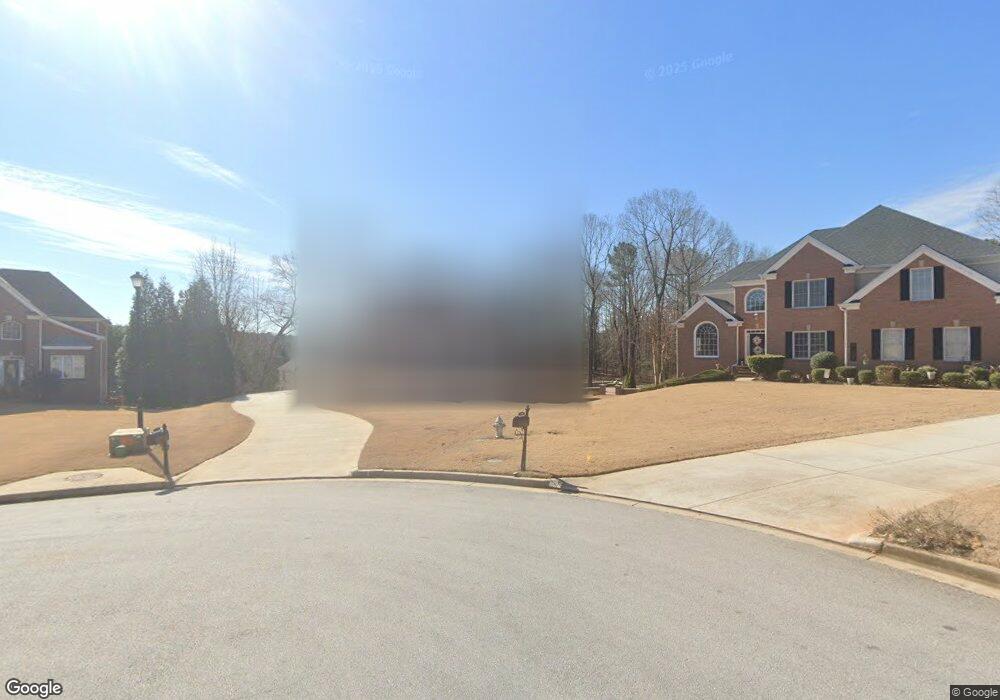
408 Emily Ct Stockbridge, GA 30281
Estimated Value: $446,000 - $511,180
4
Beds
3
Baths
2,754
Sq Ft
$171/Sq Ft
Est. Value
About This Home
This home is located at 408 Emily Ct, Stockbridge, GA 30281 and is currently estimated at $470,295, approximately $170 per square foot. 408 Emily Ct is a home located in Henry County with nearby schools including Austin Road Elementary School, Austin Road Middle School, and Woodland High School.
Ownership History
Date
Name
Owned For
Owner Type
Purchase Details
Closed on
Sep 7, 2021
Sold by
Burrison Ronald
Bought by
Burrison Ronald and Burrison Michelle
Current Estimated Value
Purchase Details
Closed on
Feb 12, 2021
Sold by
Burrison Nichelle
Bought by
Burrison Ronald and Burrison Michelle
Purchase Details
Closed on
Aug 9, 2019
Sold by
Burrison Ronald
Bought by
Burrison Michelle and Burrison Nichelle
Purchase Details
Closed on
Apr 15, 2004
Sold by
Quality Housing Grp Inc
Bought by
Burrison Ronald B and Burrison Michelle
Home Financials for this Owner
Home Financials are based on the most recent Mortgage that was taken out on this home.
Original Mortgage
$234,000
Interest Rate
6%
Mortgage Type
New Conventional
Create a Home Valuation Report for This Property
The Home Valuation Report is an in-depth analysis detailing your home's value as well as a comparison with similar homes in the area
Home Values in the Area
Average Home Value in this Area
Purchase History
| Date | Buyer | Sale Price | Title Company |
|---|---|---|---|
| Burrison Ronald | -- | -- | |
| Burrison Ronald | -- | -- | |
| Burrison Michelle | -- | -- | |
| Burrison Ronald B | $292,500 | -- |
Source: Public Records
Mortgage History
| Date | Status | Borrower | Loan Amount |
|---|---|---|---|
| Previous Owner | Burrison Ronald B | $234,000 |
Source: Public Records
Tax History Compared to Growth
Tax History
| Year | Tax Paid | Tax Assessment Tax Assessment Total Assessment is a certain percentage of the fair market value that is determined by local assessors to be the total taxable value of land and additions on the property. | Land | Improvement |
|---|---|---|---|---|
| 2025 | $5,923 | $210,680 | $20,000 | $190,680 |
| 2024 | $5,923 | $178,320 | $20,000 | $158,320 |
| 2023 | $5,502 | $179,120 | $16,000 | $163,120 |
| 2022 | $4,943 | $137,840 | $16,000 | $121,840 |
| 2021 | $4,836 | $133,640 | $16,000 | $117,640 |
| 2020 | $4,653 | $126,200 | $12,000 | $114,200 |
| 2019 | $4,273 | $115,960 | $12,000 | $103,960 |
| 2018 | $4,159 | $113,000 | $12,000 | $101,000 |
| 2016 | $3,523 | $96,520 | $12,000 | $84,520 |
| 2015 | $3,195 | $85,760 | $10,000 | $75,760 |
| 2014 | $3,070 | $81,800 | $8,800 | $73,000 |
Source: Public Records
Map
Nearby Homes
- 154 Johns Creek Ln
- 200 Johns Creek Ln
- 1080 Gardner Rd
- 780 Gardner Rd
- 216 Johns Creek Ln
- 111 Audubon Pkwy
- 125 Bob White Dr
- 226 Farmbrook Pkwy
- 106 Bob White Dr
- 1100 Gardner Rd
- 222 Farmbrook Pkwy
- 105 Bobolink Dr
- 128 Crown Glen Way
- 230 Mimosa Ln
- 108 Hilltop Cir
- 40 Lake Ct
- 221 Lakeview Dr
- 203 Farmbrook Pkwy
- 214 Ashland Dr
- 562 Patillo Rd
- 404 Emily Ct
- 123 Johns Creek Ln
- 409 Emily Ct
- 119 Johns Creek Ln Unit 55
- 119 Johns Creek Ln
- 127 Johns Creek Ln
- 310 Mansfield Way
- 316 Mansfield Way
- 400 Emily Ct
- 405 Emily Ct
- 320 Mansfield Way
- 115 Johns Creek Ln
- 131 Johns Creek Ln
- 401 Emily Ct
- 330 Mansfield Way
- 300 Mansfield Way
- 135 Johns Creek Ln
- 122 Johns Creek Ln
- 126 Johns Creek Ln
- 0 Mansfield Way