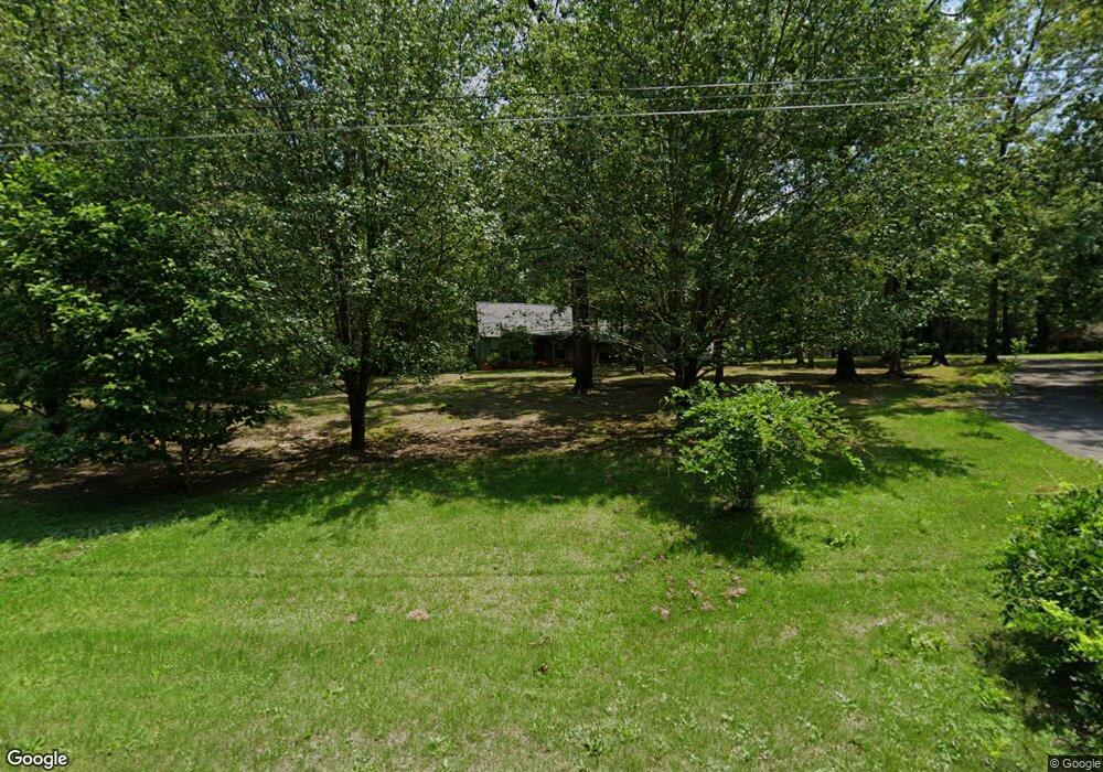
408 Forest Grove Rd Oxford, MS 38655
Estimated Value: $417,000 - $560,000
About This Home
This home is located at 408 Forest Grove Rd, Oxford, MS 38655 and is currently estimated at $477,437, approximately $209 per square foot. 408 Forest Grove Rd is a home located in Lafayette County with nearby schools including Lafayette Elementary School, Lafayette Upper Elementary School, and Lafayette Middle School.
Ownership History
We collect this data history from publicly available records. To have your information removed, we recommend requesting removal directly through your county’s website.
Purchase Details
Home Financials for this Owner
Home Financials are based on the most recent Mortgage that was taken out on this home.Purchase History
We collect this data history from publicly available records. To have your information removed, we recommend requesting removal directly through your county’s website.
| Date | Buyer | Sale Price | Title Company |
|---|---|---|---|
| -- | None Available |
Mortgage History
We collect this data history from publicly available records. To have your information removed, we recommend requesting removal directly through your county’s website.
| Date | Status | Borrower | Loan Amount |
|---|---|---|---|
| Open | $142,000 |
Tax History
We collect this data history from publicly available records. To have your information removed, we recommend requesting removal directly through your county’s website.
| Year | Tax Paid | Tax Assessment Tax Assessment Total Assessment is a certain percentage of the fair market value that is determined by local assessors to be the total taxable value of land and additions on the property. | Land | Improvement |
|---|---|---|---|---|
| 2025 | $2,594 | $27,570 | $0 | $0 |
| 2024 | $2,594 | $22,312 | $0 | $0 |
| 2023 | $2,125 | $22,312 | $0 | $0 |
| 2022 | $2,080 | $22,312 | $0 | $0 |
| 2021 | $2,118 | $22,312 | $0 | $0 |
| 2020 | $1,847 | $20,233 | $0 | $0 |
| 2019 | $1,351 | $20,233 | $0 | $0 |
| 2018 | $1,354 | $20,233 | $0 | $0 |
| 2017 | $1,354 | $20,233 | $0 | $0 |
| 2016 | $1,297 | $19,835 | $0 | $0 |
| 2015 | -- | $19,835 | $0 | $0 |
| 2014 | -- | $19,835 | $0 | $0 |
Map
- 902 Cedarbrook Dr
- 329 Wishing Tree Ln
- 112a Cedar Hill Dr
- 108 Cedar Hill Dr
- 1823 Atlanta Ave
- 1805 Atlanta Ave
- 1914 Mitchell Cove
- 4055 Fieldstone Loop
- 8021 Cart Path Ln
- 8017 Cart Path Ln
- 704 Savannah Dr
- 3048 Oxford Way
- 3060 Oxford Way
- 4116 Fieldstone Loop
- 1020 Scarlett Dr
- 712 Savannah Dr
- 406 O'Hara Dr
- 110 Heights Dr
- 2029 Oak Lawn Loop
- 800 Deerfield Dr
- 406 Forest Grove Rd
- 410 Forest Grove Rd
- 405 Forest Grove Rd
- 600 Woodland Cove
- 412 Forest Grove Rd
- 411 Forest Grove Rd
- 602 Woodland Cove
- 603 Woodland Cove
- 500 Pinecliff Cove
- 323 Quail Creek Dr
- 402 Forest Grove Rd
- 1024 Whitetail Dr
- 1032 White Tail Dr
- 1026 Whitetail Dr
- 912 Cedarbrook Dr
- 917 Cedarbrook Dr
- 1022 Whitetail Dr
- 604 Woodland Cove
- 414 Forest Grove Rd
- tbd Pine Cliff Dr
Ask me questions while you tour the home.