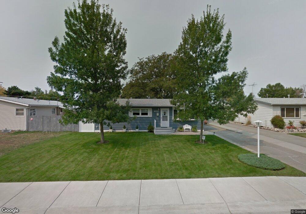
408 Normandy Dr Billings, MT 59102
East Central Billings NeighborhoodEstimated Value: $340,000 - $359,808
4
Beds
3
Baths
2,184
Sq Ft
$159/Sq Ft
Est. Value
About This Home
This home is located at 408 Normandy Dr, Billings, MT 59102 and is currently estimated at $347,202, approximately $158 per square foot. 408 Normandy Dr is a home located in Yellowstone County with nearby schools including Miles Avenue School, Lewis & Clark Junior High School, and Billings West High School.
Ownership History
Date
Name
Owned For
Owner Type
Purchase Details
Closed on
Feb 15, 2023
Sold by
Whaley Franklin P and Whaley Shari Dee
Bought by
Stoner Kelly D and Stoner Dennis W
Current Estimated Value
Home Financials for this Owner
Home Financials are based on the most recent Mortgage that was taken out on this home.
Original Mortgage
$268,000
Outstanding Balance
$259,846
Interest Rate
6.5%
Mortgage Type
New Conventional
Estimated Equity
$87,356
Purchase Details
Closed on
Dec 6, 2016
Sold by
Liedle Richard L and Liedle Thomas P
Bought by
Liedle Barbara L and First Amended Liedle Trust
Create a Home Valuation Report for This Property
The Home Valuation Report is an in-depth analysis detailing your home's value as well as a comparison with similar homes in the area
Home Values in the Area
Average Home Value in this Area
Purchase History
| Date | Buyer | Sale Price | Title Company |
|---|---|---|---|
| Stoner Kelly D | -- | None Listed On Document | |
| Liedle Barbara L | -- | None Available |
Source: Public Records
Mortgage History
| Date | Status | Borrower | Loan Amount |
|---|---|---|---|
| Open | Stoner Kelly D | $268,000 |
Source: Public Records
Tax History Compared to Growth
Tax History
| Year | Tax Paid | Tax Assessment Tax Assessment Total Assessment is a certain percentage of the fair market value that is determined by local assessors to be the total taxable value of land and additions on the property. | Land | Improvement |
|---|---|---|---|---|
| 2025 | $2,970 | $357,700 | $47,930 | $309,770 |
| 2024 | $2,970 | $309,300 | $44,351 | $264,949 |
| 2023 | $2,970 | $309,300 | $44,351 | $264,949 |
| 2022 | $2,590 | $236,000 | $0 | $0 |
| 2021 | $2,465 | $236,000 | $0 | $0 |
| 2020 | $2,378 | $216,500 | $0 | $0 |
| 2019 | $2,067 | $195,200 | $0 | $0 |
| 2018 | $2,023 | $187,500 | $0 | $0 |
| 2017 | $1,736 | $187,500 | $0 | $0 |
| 2016 | $1,836 | $177,100 | $0 | $0 |
| 2015 | $1,795 | $177,100 | $0 | $0 |
| 2014 | $1,634 | $85,383 | $0 | $0 |
Source: Public Records
Map
Nearby Homes
- 1346 Broadwater Ave
- 1231 Saint Johns Ave
- 1310 Yellowstone Ave Unit 6
- 1310 Yellowstone Ave Unit 11
- 1310 Yellowstone Ave Unit 16
- 1122 Howard Ave
- 1256 & 1260 Yellowstone Ave
- 1265 Yellowstone Ave
- 112 11th St W
- 1263 Yellowstone Ave
- 1113 Lynn Ave
- 1019 Miles Ave
- 1230 Clark Ave
- 1537 Wyoming Ave Unit D
- 1214 Clark Ave
- 1225 Clark Ave
- 1604 Wyoming Ave
- 1540 Yellowstone Ave Unit D
- 1212 Concord Dr
- 305 17th St W
- 412 Normandy Dr
- 1311 Miles Ave
- 416 Normandy Dr
- 405 14th St W
- 409 14th St W
- 1315 Miles Ave
- 420 Normandy Dr
- 405 Normandy Dr
- 413 14th St W
- 1312 Miles Ave
- 1307 Miles Ave
- 409 Normandy Dr
- 417 14th St W
- 413 Normandy Dr
- 1316 Miles Ave
- 424 Normandy Dr
- 417 Normandy Dr
- 1308 Miles Ave
- 320 Normandy Dr
- 1312 Terry Ave